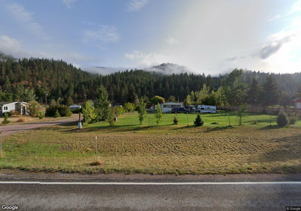
20788 Us Highway 10 E Clinton, MT 59825
Clinton NeighborhoodEstimated Value: $678,000 - $1,317,918
About This Home
This home is located at 20788 Us Highway 10 E, Clinton, MT 59825 and is currently estimated at $997,959, approximately $386 per square foot. 20788 Us Highway 10 E is a home located in Missoula County with nearby schools including Clinton Elementary School and Sentinel High School.
Ownership History
We collect this data history from publicly available records. To have your information removed, we recommend requesting removal directly through your county’s website.
Purchase Details
Home Financials for this Owner
Home Financials are based on the most recent Mortgage that was taken out on this home.Home Values in the Area
Average Home Value in this Area
Purchase History
We collect this data history from publicly available records. To have your information removed, we recommend requesting removal directly through your county’s website.
| Date | Buyer | Sale Price | Title Company |
|---|---|---|---|
| -- | -- |
Mortgage History
We collect this data history from publicly available records. To have your information removed, we recommend requesting removal directly through your county’s website.
| Date | Status | Borrower | Loan Amount |
|---|---|---|---|
| Closed | $196,563 |
Tax History
We collect this data history from publicly available records. To have your information removed, we recommend requesting removal directly through your county’s website.
| Year | Tax Paid | Tax Assessment Tax Assessment Total Assessment is a certain percentage of the fair market value that is determined by local assessors to be the total taxable value of land and additions on the property. | Land | Improvement |
|---|---|---|---|---|
| 2025 | $11,080 | $1,300,177 | $273,747 | $1,026,430 |
| 2024 | $12,550 | $1,110,456 | $183,696 | $926,760 |
| 2023 | $10,741 | $1,110,456 | $183,696 | $926,760 |
| 2022 | $9,434 | $791,268 | $0 | $0 |
| 2021 | $9,227 | $791,268 | $0 | $0 |
| 2020 | $9,359 | $767,944 | $0 | $0 |
| 2019 | $9,309 | $767,944 | $0 | $0 |
| 2018 | $7,794 | $680,623 | $0 | $0 |
| 2017 | $7,852 | $680,623 | $0 | $0 |
| 2016 | $7,951 | $719,241 | $0 | $0 |
| 2015 | $7,427 | $719,241 | $0 | $0 |
| 2014 | $5,343 | $344,837 | $0 | $0 |
Map
- 20735 E Mullan Rd
- 12407 Hawk Ln
- Lot 13 Pamin Loop
- NHN Highway 10 E
- 11055 Silver St
- North Parcel "B" Stitt St
- NHN Stitt St
- 21119 Handley Loop
- 21133 Handley Loop
- Lot 15 Muddler Ct
- 14311 Muddler Ct
- Lot 11 Stonefly Rd
- Lot 17 Caddisfly Ct
- 25575 Patter Spur Rd S
- Lot 9 Stonefly Rd
- Lot 2 Caddisfly Ct
- 14297 Caddisfly Ct
- 48 Rock Creek Rd
- NHN Dirty Ike Creek Rd
- Nhn Bonita Ranger Station Rd
- 20810 Us Highway 10 E
- 20760 Us Highway 10 E
- 20740 Us Highway 10 E
- 20853 Bull Basin Rd
- 20890 Us Highway 10 E
- 21351 Pamin Loop
- Lot 09 Pamin Loop
- 21265 Pamin Loop
- Lot 18 Pamin Loop
- Lot 31 Pamin Loop
- 21527 Pamin Loop
- 20785 E Mullan Rd
- 20825 E Mullan Rd
- Lot 8 Pamin Loop
- 21392 Pamin Loop
- 20755 E Mullan Rd
- Nhn Pamin (Lot 31) Loop
- 21215 Pamin Loop
- 21438 Pamin Loop
- Nhn Pamin Loop Unit Lot 30
Ask me questions while you tour the home.