2079 Daytime Rd Lancaster, SC 29720
Estimated Value: $473,000 - $678,000
4
Beds
2
Baths
2,820
Sq Ft
$198/Sq Ft
Est. Value
About This Home
This home is located at 2079 Daytime Rd, Lancaster, SC 29720 and is currently estimated at $559,562, approximately $198 per square foot. 2079 Daytime Rd is a home located in Lancaster County with nearby schools including Buford Elementary School, Buford Middle School, and Buford High School.
Ownership History
Date
Name
Owned For
Owner Type
Purchase Details
Closed on
Mar 29, 2010
Sold by
Brown Connie K and Allman Christopher M
Bought by
Makowski David Anthony and Makowski Donna Marie
Current Estimated Value
Purchase Details
Closed on
Mar 6, 2009
Sold by
Brown Shane Alan
Bought by
Brown Connie K and Allman Connie
Purchase Details
Closed on
Nov 28, 2008
Sold by
Allman Christopher M
Bought by
Brown Connie K
Purchase Details
Closed on
Jun 15, 2007
Sold by
Brown Connie K
Bought by
Allman Christopher M
Purchase Details
Closed on
May 17, 2007
Sold by
Brown Shane A
Bought by
Brown Connie K and Allman Christopher M
Purchase Details
Closed on
Jul 21, 2006
Sold by
Fogarty Paul
Bought by
Brown Shane A and Brown Connie K
Create a Home Valuation Report for This Property
The Home Valuation Report is an in-depth analysis detailing your home's value as well as a comparison with similar homes in the area
Home Values in the Area
Average Home Value in this Area
Purchase History
| Date | Buyer | Sale Price | Title Company |
|---|---|---|---|
| Makowski David Anthony | $392,500 | -- | |
| Brown Connie K | -- | -- | |
| Brown Connie K | -- | -- | |
| Allman Christopher M | -- | None Available | |
| Brown Connie K | -- | None Available | |
| Brown Shane A | $312,000 | None Available |
Source: Public Records
Tax History
| Year | Tax Paid | Tax Assessment Tax Assessment Total Assessment is a certain percentage of the fair market value that is determined by local assessors to be the total taxable value of land and additions on the property. | Land | Improvement |
|---|---|---|---|---|
| 2024 | $1,085 | $8,940 | $1,316 | $7,624 |
| 2023 | $1,081 | $8,940 | $1,316 | $7,624 |
| 2022 | $1,077 | $8,940 | $1,316 | $7,624 |
| 2021 | $1,055 | $8,940 | $1,316 | $7,624 |
| 2020 | $1,044 | $8,672 | $1,316 | $7,356 |
| 2019 | $2,935 | $8,672 | $1,316 | $7,356 |
| 2018 | $2,824 | $8,672 | $1,316 | $7,356 |
| 2017 | $1,019 | $0 | $0 | $0 |
| 2016 | $994 | $0 | $0 | $0 |
| 2015 | $803 | $0 | $0 | $0 |
| 2014 | $803 | $0 | $0 | $0 |
| 2013 | $803 | $0 | $0 | $0 |
Source: Public Records
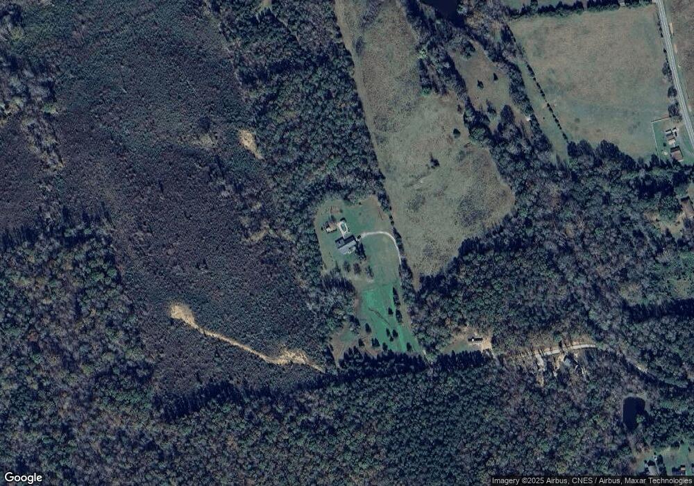
Map
Nearby Homes
- 2436 Campbell Lake Rd
- 00 Old Pardue Rd
- 2983 Frank Hallman Rd
- 2716 Camp Creek Rd
- 1696 Logan Terry Rd
- Lot A Camp Creek Dr
- 0 Pageland Hwy Unit CAR4343176
- 964 Pemberley St Unit 3193
- 3396 Thompson Rd
- 000 Daystar Rd Unit 9
- 000 Daystar Rd Unit 4
- 000 Daystar Rd Unit 11
- 000 Daystar Rd Unit 14
- 000 Daystar Rd Unit 13
- 000 Daystar Rd Unit 7
- 000 Daystar Rd Unit 6
- 000 Daystar Rd Unit 16
- 000 Daystar Rd Unit 8
- 0 Monroe Hwy Unit CAR4213831
- 572 Mosteller Dr
- 2039 Daytime Rd
- 2507 Old Pardue Rd
- 1381 Potter Rd
- 1297 Potter Rd
- Potter Rd
- 1287 Potter Rd
- 2213 Balmy Ct
- 1317 Potter Rd
- 2521 Old Pardue Rd
- 2221 Balmy Ct
- 2202 Balmy Ct
- 1443 Potter Rd
- 2681 Old Pardue Rd
- 2701 Old Pardue Rd
- 3142 Camp Creek Rd
- 2691 Old Pardue Rd
- 2587 Old Pardue Rd
- 2617 Old Pardue Rd
- 2501 Old Pardue Rd
- 1370 Potter Rd