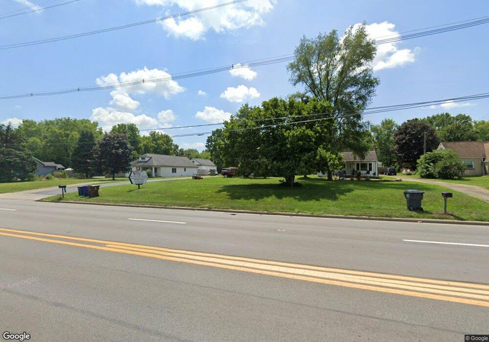
2079 Frank Rd Columbus, OH 43223
Estimated Value: $321,000 - $464,000
3
Beds
2
Baths
2,026
Sq Ft
$194/Sq Ft
Est. Value
About This Home
This home is located at 2079 Frank Rd, Columbus, OH 43223 and is currently estimated at $392,213, approximately $193 per square foot. 2079 Frank Rd is a home located in Franklin County with nearby schools including James A Harmon Elementary School, Franklin Woods Intermediate School, and Finland Middle School.
Ownership History
Date
Name
Owned For
Owner Type
Purchase Details
Closed on
Jul 25, 2022
Sold by
Horn Gary W and Horn Teresa L
Bought by
Wright Renee N and Wright James W
Current Estimated Value
Home Financials for this Owner
Home Financials are based on the most recent Mortgage that was taken out on this home.
Original Mortgage
$320,000
Interest Rate
5.22%
Mortgage Type
New Conventional
Purchase Details
Closed on
Jun 12, 1989
Bought by
Horn Gary W and Horn Teresa L
Purchase Details
Closed on
Oct 1, 1980
Create a Home Valuation Report for This Property
The Home Valuation Report is an in-depth analysis detailing your home's value as well as a comparison with similar homes in the area
Home Values in the Area
Average Home Value in this Area
Purchase History
| Date | Buyer | Sale Price | Title Company |
|---|---|---|---|
| Wright Renee N | $400,000 | Crown Search Box | |
| Horn Gary W | $49,100 | -- | |
| -- | $19,500 | -- |
Source: Public Records
Mortgage History
| Date | Status | Borrower | Loan Amount |
|---|---|---|---|
| Previous Owner | Wright Renee N | $320,000 |
Source: Public Records
Tax History Compared to Growth
Tax History
| Year | Tax Paid | Tax Assessment Tax Assessment Total Assessment is a certain percentage of the fair market value that is determined by local assessors to be the total taxable value of land and additions on the property. | Land | Improvement |
|---|---|---|---|---|
| 2024 | $6,199 | $120,890 | $24,010 | $96,880 |
| 2023 | $6,167 | $120,890 | $24,010 | $96,880 |
| 2022 | $6,012 | $81,170 | $14,420 | $66,750 |
| 2021 | $5,713 | $81,170 | $14,420 | $66,750 |
| 2020 | $5,703 | $81,170 | $14,420 | $66,750 |
| 2019 | $4,234 | $54,260 | $12,010 | $42,250 |
| 2018 | $3,837 | $54,260 | $12,010 | $42,250 |
| 2017 | $4,193 | $54,260 | $12,010 | $42,250 |
| 2016 | $3,725 | $45,190 | $7,000 | $38,190 |
| 2015 | $3,458 | $45,190 | $7,000 | $38,190 |
| 2014 | $3,460 | $45,190 | $7,000 | $38,190 |
| 2013 | $1,789 | $47,565 | $7,385 | $40,180 |
Source: Public Records
Map
Nearby Homes
- 1949 Big Run Bluffs Blvd
- 1948 Big Run Bluffs Blvd
- 0 S Central Ave
- 1543 Red Leaf Ln
- 4745 Big Run Rd E
- 2210 October Ridge Dr
- 2436 Onyx Ct
- 1417 Fahy Dr
- 2195 Big Run Ave
- 2103 Keller Place W
- 0 Glencreek Rd
- 2255 Harrisburg Pike
- 2154 Drumlin Dr
- 2894 Creith Ct
- 2242 Topaz Dr
- 1390 Gray Meadow Dr
- 2272 Anndel Ct
- 2336 Woodbrook Cir N Unit 92 B
- 2362 Woodbrook Cir N Unit 81
- 2272 Topaz Dr
- 2087 Frank Rd
- 2069 Frank Rd
- 2099 Frank Rd
- 2063 Frank Rd
- 2107 Frank Rd
- 2055 Frank Rd
- 2113 Frank Rd
- 2045 Frank Rd
- 2123 Frank Rd
- 2122 Frank Rd
- 2139 Frank Rd
- 2153 Frank Rd
- 2396 Bohnburg Ave
- 2404 Bohnburg Ave
- 2390 Bohnburg Ave
- 2416 Bohnburg Ave
- 2384 Bohnburg Ave
- 2154 Frank Rd
- 2428 Bohnburg Ave
- 2434 Bohnburg Ave