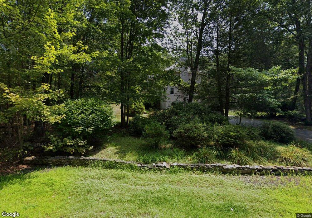
208 Amherst Rd MerriMacK, NH 03054
Estimated Value: $750,524 - $830,000
3
Beds
3
Baths
3,577
Sq Ft
$221/Sq Ft
Est. Value
About This Home
This home is located at 208 Amherst Rd, MerriMacK, NH 03054 and is currently estimated at $790,131, approximately $220 per square foot. 208 Amherst Rd is a home located in Hillsborough County with nearby schools including Thorntons Ferry School, Merrimack Middle School, and James Mastricola Upper Elementary School.
Ownership History
Date
Name
Owned For
Owner Type
Purchase Details
Closed on
May 26, 2000
Sold by
Lessard Leo P and Lessard Sandra M
Bought by
Koskela Pamela L and Koskela Scott M
Current Estimated Value
Home Financials for this Owner
Home Financials are based on the most recent Mortgage that was taken out on this home.
Original Mortgage
$208,000
Outstanding Balance
$67,379
Interest Rate
8.1%
Estimated Equity
$722,752
Create a Home Valuation Report for This Property
The Home Valuation Report is an in-depth analysis detailing your home's value as well as a comparison with similar homes in the area
Home Values in the Area
Average Home Value in this Area
Purchase History
| Date | Buyer | Sale Price | Title Company |
|---|---|---|---|
| Koskela Pamela L | $260,000 | -- |
Source: Public Records
Mortgage History
| Date | Status | Borrower | Loan Amount |
|---|---|---|---|
| Open | Koskela Pamela L | $208,000 |
Source: Public Records
Tax History
| Year | Tax Paid | Tax Assessment Tax Assessment Total Assessment is a certain percentage of the fair market value that is determined by local assessors to be the total taxable value of land and additions on the property. | Land | Improvement |
|---|---|---|---|---|
| 2025 | $11,265 | $509,500 | $196,900 | $312,600 |
| 2024 | $10,542 | $509,500 | $196,900 | $312,600 |
| 2023 | $9,910 | $509,500 | $196,900 | $312,600 |
| 2022 | $8,855 | $509,500 | $196,900 | $312,600 |
| 2021 | $8,528 | $496,700 | $196,900 | $299,800 |
| 2020 | $9,203 | $382,500 | $146,600 | $235,900 |
| 2019 | $9,662 | $400,400 | $146,600 | $253,800 |
| 2018 | $9,658 | $400,400 | $146,600 | $253,800 |
| 2017 | $9,357 | $400,400 | $146,600 | $253,800 |
| 2016 | $9,125 | $400,400 | $146,600 | $253,800 |
| 2015 | $9,314 | $376,800 | $136,600 | $240,200 |
| 2014 | $9,077 | $376,800 | $136,600 | $240,200 |
| 2013 | $9,009 | $376,800 | $136,600 | $240,200 |
Source: Public Records
Map
Nearby Homes
- 27 Farmer Rd
- 1 County Rd
- 105 Seaverns Bridge Rd
- 103 Seaverns Bridge Rd
- 101 Seaverns Bridge Rd
- 101-2 Seaverns Bridge Rd
- 148 County Rd
- 150 County Rd Unit 4-142-8
- 150 County Rd
- 1 Whitetail Way
- 464 Boston Post Rd Unit 5
- 5 Monticello Dr
- 18 Northwood Dr
- 4 Meadowview Ln
- 1 Hickory Dr
- 10 Colman Path
- 27 W Chamberlain Rd
- 18 Douglas St
- 15 Martingale Rd
- 10 Olde Rd
Your Personal Tour Guide
Ask me questions while you tour the home.