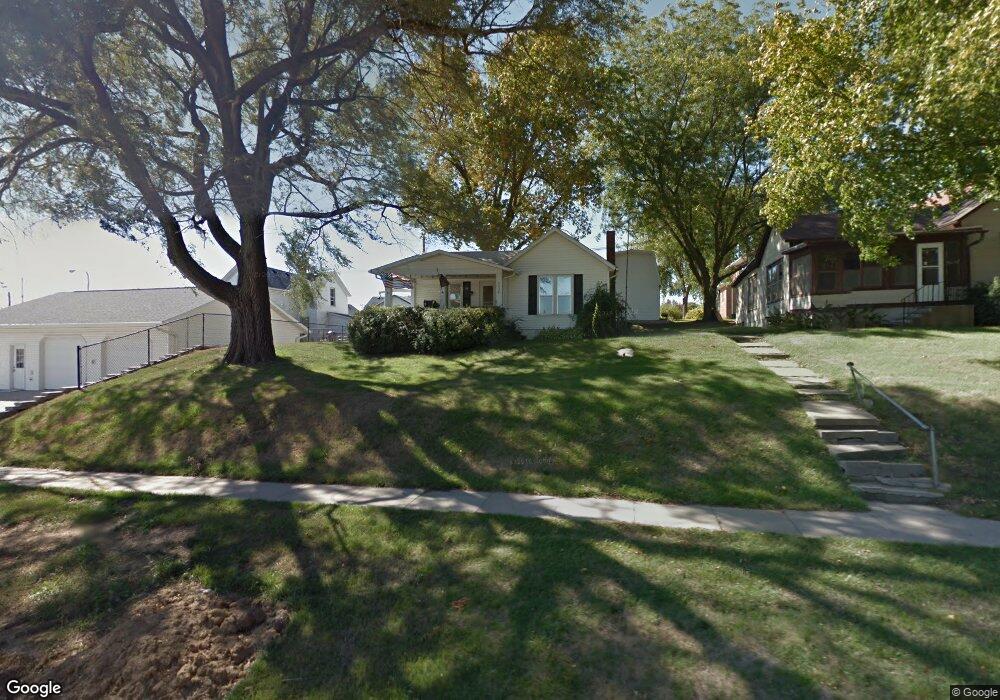
208 Clay St Brooklyn, IA 52211
Estimated Value: $47,000 - $130,000
--
Bed
1
Bath
774
Sq Ft
$105/Sq Ft
Est. Value
About This Home
This home is located at 208 Clay St, Brooklyn, IA 52211 and is currently estimated at $80,986, approximately $104 per square foot. 208 Clay St is a home located in Poweshiek County with nearby schools including Brooklyn-Guernsey-Malcom Elementary School and Brooklyn-Guernsey-Malcom Junior/Senior High School.
Ownership History
Date
Name
Owned For
Owner Type
Purchase Details
Closed on
Dec 22, 2023
Sold by
Lint John L and Gwin-Lint Becky J
Bought by
Smith Lucas
Current Estimated Value
Home Financials for this Owner
Home Financials are based on the most recent Mortgage that was taken out on this home.
Original Mortgage
$68,400
Outstanding Balance
$67,252
Interest Rate
7.44%
Mortgage Type
Credit Line Revolving
Estimated Equity
$13,734
Create a Home Valuation Report for This Property
The Home Valuation Report is an in-depth analysis detailing your home's value as well as a comparison with similar homes in the area
Home Values in the Area
Average Home Value in this Area
Purchase History
| Date | Buyer | Sale Price | Title Company |
|---|---|---|---|
| Smith Lucas | $20,000 | None Listed On Document | |
| Smith Lucas | $20,000 | None Listed On Document | |
| Smith Lucas | $20,000 | None Listed On Document |
Source: Public Records
Mortgage History
| Date | Status | Borrower | Loan Amount |
|---|---|---|---|
| Open | Smith Lucas | $68,400 | |
| Closed | Smith Lucas | $68,400 |
Source: Public Records
Tax History Compared to Growth
Tax History
| Year | Tax Paid | Tax Assessment Tax Assessment Total Assessment is a certain percentage of the fair market value that is determined by local assessors to be the total taxable value of land and additions on the property. | Land | Improvement |
|---|---|---|---|---|
| 2025 | $926 | $65,220 | $14,550 | $50,670 |
| 2024 | $1,174 | $56,700 | $12,940 | $43,760 |
| 2023 | $872 | $56,700 | $12,940 | $43,760 |
| 2022 | $832 | $45,090 | $10,280 | $34,810 |
| 2021 | $832 | $42,540 | $9,700 | $32,840 |
| 2020 | $790 | $42,540 | $9,700 | $32,840 |
| 2019 | $846 | $41,220 | $9,700 | $31,520 |
| 2018 | $866 | $41,220 | $9,700 | $31,520 |
| 2017 | $890 | $41,220 | $9,700 | $31,520 |
| 2016 | $836 | $41,220 | $9,700 | $31,520 |
| 2015 | -- | $41,220 | $9,700 | $31,520 |
| 2014 | -- | $41,220 | $9,700 | $31,520 |
Source: Public Records
Map
Nearby Homes
- 407 Sunset Dr
- 410 Sunset Dr
- 616 Broadway St
- 000 Monroe St
- 511 N Orchard St
- 715 Broadway St
- 807 Park Ave
- 610 E Pershing Dr
- 524 W Pershing Dr
- 617 E Des Moines St
- 107 Brady St
- 711 E Des Moines St
- 1693 Old 6 Rd
- 4269 175th St
- 2057 Larrys Dr
- 3125 Holiday Ln
- 1410 E Ridge Dr
- 1353 Wilson Ave
- 3085 E Lakeshore Dr
- 2160 S Lake Shore Dr