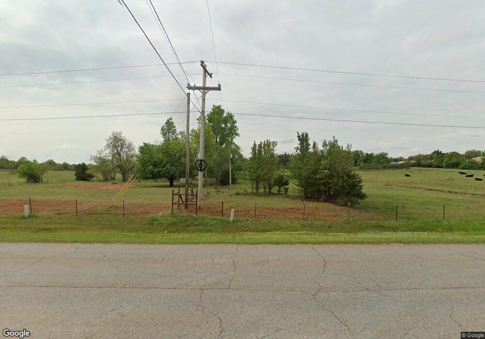
208 Dusty Rd McLoud, OK 74851
Estimated Value: $137,000 - $232,000
3
Beds
2
Baths
1,370
Sq Ft
$135/Sq Ft
Est. Value
About This Home
This home is located at 208 Dusty Rd, McLoud, OK 74851 and is currently estimated at $184,500, approximately $134 per square foot. 208 Dusty Rd is a home with nearby schools including McLoud Elementary School, McLoud Intermediate School, and McLoud Junior High School.
Ownership History
Date
Name
Owned For
Owner Type
Purchase Details
Closed on
Oct 27, 2022
Sold by
Martin Melvetta Lavern
Bought by
Street Matthew and Street Ashley
Current Estimated Value
Home Financials for this Owner
Home Financials are based on the most recent Mortgage that was taken out on this home.
Original Mortgage
$500,000
Outstanding Balance
$451,556
Interest Rate
1%
Mortgage Type
New Conventional
Estimated Equity
-$267,056
Create a Home Valuation Report for This Property
The Home Valuation Report is an in-depth analysis detailing your home's value as well as a comparison with similar homes in the area
Home Values in the Area
Average Home Value in this Area
Purchase History
| Date | Buyer | Sale Price | Title Company |
|---|---|---|---|
| Street Matthew | $500,000 | Chicago Title | |
| Street Matthew | $500,000 | Chicago Title | |
| Martin Melvetta Lavern | -- | Chicago Title |
Source: Public Records
Mortgage History
| Date | Status | Borrower | Loan Amount |
|---|---|---|---|
| Open | Martin Melvetta Lavern | $500,000 | |
| Closed | Street Matthew | $500,000 |
Source: Public Records
Tax History
| Year | Tax Paid | Tax Assessment Tax Assessment Total Assessment is a certain percentage of the fair market value that is determined by local assessors to be the total taxable value of land and additions on the property. | Land | Improvement |
|---|---|---|---|---|
| 2025 | $439 | $4,933 | $2,087 | $2,846 |
| 2024 | $423 | $4,789 | $2,026 | $2,763 |
| 2023 | $423 | $4,650 | $1,597 | $3,053 |
| 2022 | $337 | $3,659 | $1,053 | $2,606 |
| 2021 | $329 | $2,828 | $568 | $2,260 |
| 2020 | $246 | $2,666 | $535 | $2,131 |
| 2019 | $246 | $2,588 | $519 | $2,069 |
| 2018 | $254 | $2,514 | $507 | $2,007 |
| 2017 | $250 | $2,440 | $499 | $1,941 |
| 2016 | $217 | $2,368 | $484 | $1,884 |
| 2015 | $198 | $2,300 | $518 | $1,782 |
| 2014 | $198 | $2,232 | $530 | $1,702 |
Source: Public Records
Map
Nearby Homes
- 400 S Main St
- 211 S 6th St
- 827 W Broadway Ave
- 922 W Hinchley Ave
- 141 Folsom Dr
- 0 Thomas Blvd Unit 1205900
- 13430 Dewberry Rd
- 13421 Juneberry Dr
- 13429 Juneberry Dr
- 115 Thornbrue Dr
- 29273 Spur Cir
- 29261 Spur Cir
- 15961 Prairie Rose Dr
- 15952 Prairie Rose Dr
- 333033 E 1065 Rd
- 333144 E 1066 Dr
- 30280 Stephens Dr
- 106851 S Paula Jean Dr
- 9202 Cleo Ln
- 29805 SE 29th St
Your Personal Tour Guide
Ask me questions while you tour the home.