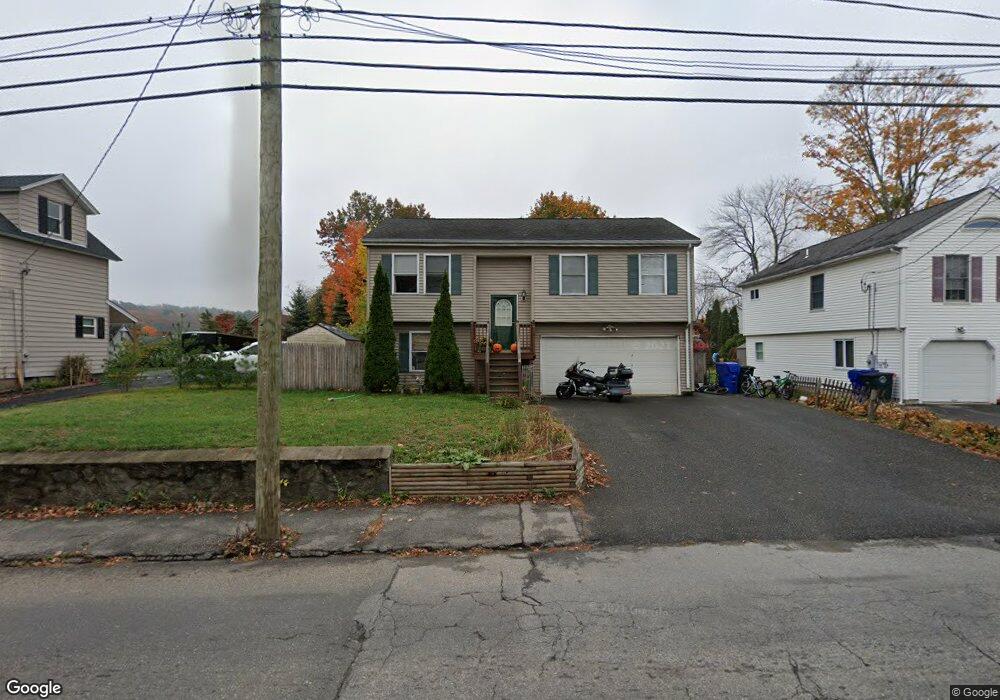
208 E Albert St Torrington, CT 06790
Estimated Value: $251,000 - $275,000
3
Beds
6
Baths
982
Sq Ft
$270/Sq Ft
Est. Value
About This Home
This home is located at 208 E Albert St, Torrington, CT 06790 and is currently estimated at $265,521, approximately $270 per square foot. 208 E Albert St is a home located in Litchfield County with nearby schools including Torrington Middle School, Torrington High School, and St. Peter School.
Ownership History
Date
Name
Owned For
Owner Type
Purchase Details
Closed on
Oct 1, 2008
Sold by
Talbot Robert J and Talbot Melanie T
Bought by
Arnold Jeffrey and Penney Kimberly
Current Estimated Value
Home Financials for this Owner
Home Financials are based on the most recent Mortgage that was taken out on this home.
Original Mortgage
$144,217
Outstanding Balance
$96,406
Interest Rate
6.54%
Estimated Equity
$169,115
Purchase Details
Closed on
May 3, 2004
Sold by
Land Pro Llc
Bought by
Talbot Robert J and Talbot Melanie T
Create a Home Valuation Report for This Property
The Home Valuation Report is an in-depth analysis detailing your home's value as well as a comparison with similar homes in the area
Home Values in the Area
Average Home Value in this Area
Purchase History
| Date | Buyer | Sale Price | Title Company |
|---|---|---|---|
| Arnold Jeffrey | $145,000 | -- | |
| Talbot Robert J | $143,900 | -- |
Source: Public Records
Mortgage History
| Date | Status | Borrower | Loan Amount |
|---|---|---|---|
| Open | Talbot Robert J | $144,217 | |
| Closed | Talbot Robert J | $4,300 | |
| Previous Owner | Talbot Robert J | $166,250 | |
| Previous Owner | Talbot Robert J | $148,700 |
Source: Public Records
Tax History
| Year | Tax Paid | Tax Assessment Tax Assessment Total Assessment is a certain percentage of the fair market value that is determined by local assessors to be the total taxable value of land and additions on the property. | Land | Improvement |
|---|---|---|---|---|
| 2025 | $6,963 | $181,090 | $20,160 | $160,930 |
| 2024 | $5,043 | $105,130 | $20,160 | $84,970 |
| 2023 | $5,042 | $105,130 | $20,160 | $84,970 |
| 2022 | $4,956 | $105,130 | $20,160 | $84,970 |
| 2021 | $4,854 | $105,130 | $20,160 | $84,970 |
| 2020 | $4,854 | $105,130 | $20,160 | $84,970 |
| 2019 | $4,560 | $98,760 | $20,160 | $78,600 |
| 2018 | $4,560 | $98,760 | $20,160 | $78,600 |
| 2017 | $4,518 | $98,760 | $20,160 | $78,600 |
| 2016 | $4,518 | $98,760 | $20,160 | $78,600 |
| 2015 | $4,518 | $98,760 | $20,160 | $78,600 |
| 2014 | $4,733 | $130,320 | $41,120 | $89,200 |
Source: Public Records
Map
Nearby Homes
- 202 E Albert St
- 218 E Albert St
- 00 Marion Ave
- 188 E Albert St
- 40 Mortimer St
- 40 Mortimer St
- 40 Mortimer St Unit 1
- 40 Mortimer St Unit 2
- 40 Mortimer St Unit 3
- 197 E Albert St
- 54 Mortimer St
- 130 Oak Ave
- 211 E Albert St
- 180 E Albert St
- 88 Oak Ave
- 70 Mortimer St
- 78 Oak Ave
- 51 Mortimer St Unit 10
- 51 Mortimer St Unit 8
- 51 Mortimer St Unit 11
Your Personal Tour Guide
Ask me questions while you tour the home.