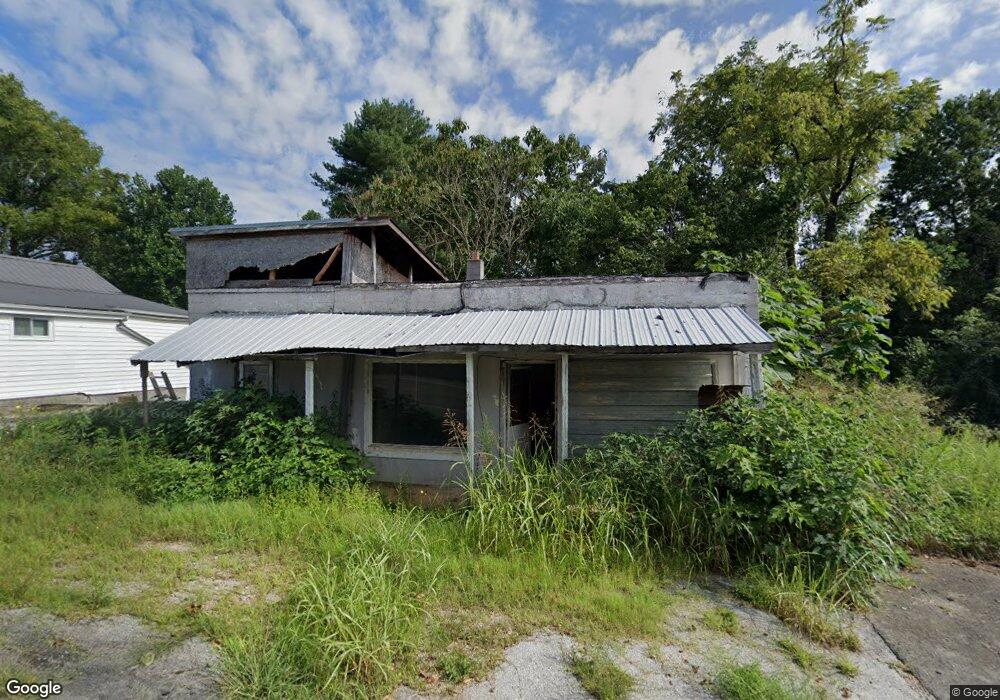
208 E Bronson St Sparta, TN 38583
Estimated Value: $131,800 - $176,000
2
Beds
1
Bath
1,128
Sq Ft
$140/Sq Ft
Est. Value
About This Home
This home is located at 208 E Bronson St, Sparta, TN 38583 and is currently estimated at $158,450, approximately $140 per square foot. 208 E Bronson St is a home located in White County with nearby schools including Woodland Park Elementary School, White County Middle School, and White County High School.
Ownership History
Date
Name
Owned For
Owner Type
Purchase Details
Closed on
Jul 20, 2022
Sold by
Ruth Caldwell
Bought by
Scavo Vicki
Current Estimated Value
Purchase Details
Closed on
Nov 16, 1988
Bought by
Caldwell Charles and Caldwell Ruth
Purchase Details
Closed on
Sep 27, 1988
Bought by
Gay James and Gay Wilma
Purchase Details
Closed on
Mar 23, 1987
Bought by
Carr Esco
Purchase Details
Closed on
Jan 3, 1900
Purchase Details
Closed on
Jan 2, 1900
Create a Home Valuation Report for This Property
The Home Valuation Report is an in-depth analysis detailing your home's value as well as a comparison with similar homes in the area
Home Values in the Area
Average Home Value in this Area
Purchase History
| Date | Buyer | Sale Price | Title Company |
|---|---|---|---|
| Scavo Vicki | $69,000 | Groth Gregory L | |
| Caldwell Charles | $16,000 | -- | |
| Gay James | -- | -- | |
| Carr Esco | -- | -- | |
| -- | -- | -- | |
| -- | -- | -- |
Source: Public Records
Tax History
| Year | Tax Paid | Tax Assessment Tax Assessment Total Assessment is a certain percentage of the fair market value that is determined by local assessors to be the total taxable value of land and additions on the property. | Land | Improvement |
|---|---|---|---|---|
| 2025 | -- | $12,850 | $3,375 | $9,475 |
| 2024 | -- | $6,725 | $1,875 | $4,850 |
| 2023 | $138 | $6,725 | $1,875 | $4,850 |
| 2022 | $200 | $6,725 | $1,875 | $4,850 |
| 2021 | $200 | $6,725 | $1,875 | $4,850 |
| 2020 | $200 | $6,725 | $1,875 | $4,850 |
| 2019 | $227 | $7,300 | $1,875 | $5,425 |
| 2018 | $227 | $7,300 | $1,875 | $5,425 |
| 2017 | $227 | $7,300 | $1,875 | $5,425 |
| 2016 | $227 | $7,300 | $1,875 | $5,425 |
| 2015 | $212 | $7,300 | $1,875 | $5,425 |
| 2014 | -- | $7,300 | $1,875 | $5,425 |
| 2013 | -- | $6,725 | $1,875 | $4,850 |
Source: Public Records
Map
Nearby Homes
- Lot 3 & 4 Harbor Green Place
- 234 Virginia Ave
- 108 Swindell St
- 219 E Bronson St
- 227 Oakwood St
- 7 Marshall St
- 322 Flatt St
- 330 Flatt St
- 107 Saylors St
- 105 N Church St
- 0 Oakwood St
- 18 N Church St
- 00 Deer View Dr
- 00 Deerview Dr
- 398 Harleys Ridge
- Lot 3&4 Harbor Green Place
- 316 Gaines St
- 311 Officer Dr
- 170 Deer Circle Dr
- 301 W Everett St
- 206 E Bronson St
- 212 E Bronson St
- 207 E Bronson St
- 208 Virginia Ave
- 209 E Bronson St
- 205 E Bronson St
- 200 E Bronson St
- 204 Virginia Ave
- 216 E Bronson St
- 212 Virginia Ave
- 126 E Bronson St
- 205 Sparkman St
- 209 Virginia Ave
- 214 Virginia Ave
- 220 E Bronson St
- 212 Willis St
- 203 Virginia Ave
- 217 Virginia Ave
- 218 Virginia Ave
- 120 E Bronson St
Your Personal Tour Guide
Ask me questions while you tour the home.