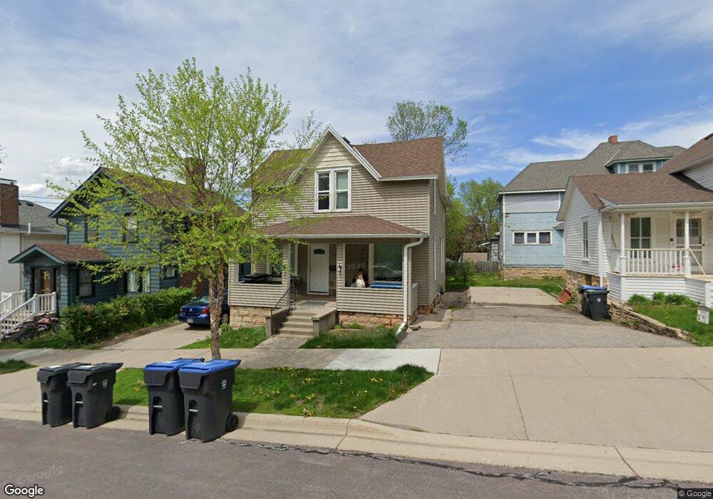
208 E Lewis St Mankato, MN 56001
Lincoln Park NeighborhoodEstimated Value: $228,631 - $290,000
6
Beds
2
Baths
1,748
Sq Ft
$151/Sq Ft
Est. Value
About This Home
This home is located at 208 E Lewis St, Mankato, MN 56001 and is currently estimated at $263,158, approximately $150 per square foot. 208 E Lewis St is a home located in Blue Earth County with nearby schools including Jefferson Elementary School, Dakota Meadows Middle School, and Mankato West Senior High School.
Ownership History
Date
Name
Owned For
Owner Type
Purchase Details
Closed on
Apr 23, 2021
Sold by
Downtown Properties Llc
Bought by
208 Lewis Llc
Current Estimated Value
Home Financials for this Owner
Home Financials are based on the most recent Mortgage that was taken out on this home.
Original Mortgage
$150,875
Outstanding Balance
$136,439
Interest Rate
3.1%
Mortgage Type
New Conventional
Estimated Equity
$126,719
Purchase Details
Closed on
Jan 28, 2009
Sold by
The Bank Of New York Mellon Trust Co
Bought by
Growth Holdings Llc
Create a Home Valuation Report for This Property
The Home Valuation Report is an in-depth analysis detailing your home's value as well as a comparison with similar homes in the area
Home Values in the Area
Average Home Value in this Area
Purchase History
| Date | Buyer | Sale Price | Title Company |
|---|---|---|---|
| 208 Lewis Llc | $177,500 | Stewart Title | |
| Growth Holdings Llc | $75,500 | -- |
Source: Public Records
Mortgage History
| Date | Status | Borrower | Loan Amount |
|---|---|---|---|
| Open | 208 Lewis Llc | $150,875 |
Source: Public Records
Tax History Compared to Growth
Tax History
| Year | Tax Paid | Tax Assessment Tax Assessment Total Assessment is a certain percentage of the fair market value that is determined by local assessors to be the total taxable value of land and additions on the property. | Land | Improvement |
|---|---|---|---|---|
| 2025 | $2,154 | $200,600 | $14,000 | $186,600 |
| 2024 | $2,042 | $178,900 | $14,000 | $164,900 |
| 2023 | $2,086 | $197,700 | $14,000 | $183,700 |
| 2022 | $1,878 | $177,000 | $14,000 | $163,000 |
| 2021 | $1,748 | $147,000 | $14,000 | $133,000 |
| 2020 | $1,716 | $133,300 | $14,000 | $119,300 |
| 2019 | $1,564 | $133,300 | $14,000 | $119,300 |
| 2018 | $1,486 | $121,000 | $14,000 | $107,000 |
| 2017 | $1,252 | $115,600 | $14,000 | $101,600 |
| 2016 | $1,326 | $101,700 | $14,000 | $87,700 |
| 2015 | $13 | $108,100 | $14,000 | $94,100 |
| 2014 | $1,526 | $311,700 | $42,000 | $269,700 |
Source: Public Records
Map
Nearby Homes
- 231 Bradley St
- 217 Center St
- 117 117 E Pleasant St
- 117 E Pleasant St
- 26 Sumner Hills Rd
- 212 Locke St
- 222 W Pleasant St
- 222 222 W Pleasant St
- 315 W Pleasant St
- 321 321 Ramsey St
- 215 James Ave
- 340 Rd
- 223 223 State St
- 132 Coy St
- TBD Saratoga
- 601 Baker Ave
- 130 Dillon Ave
- 0 Outlot A Block 1 Unit 7031909
- 314 314 E Walnut St
- 0 R010918476042 Tbd Woodridge Unit 7036731