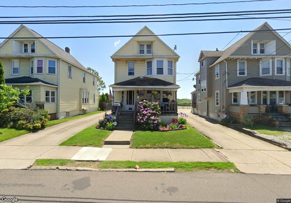
208 E Voris St Akron, OH 44311
Downtown Akron NeighborhoodEstimated Value: $72,000 - $117,000
3
Beds
1
Bath
1,408
Sq Ft
$65/Sq Ft
Est. Value
About This Home
This home is located at 208 E Voris St, Akron, OH 44311 and is currently estimated at $91,024, approximately $64 per square foot. 208 E Voris St is a home located in Summit County with nearby schools including North High School, Main Preparatory Academy, and St. Bernard-St. Mary Elementary School.
Ownership History
Date
Name
Owned For
Owner Type
Purchase Details
Closed on
May 23, 2017
Sold by
Bender Frank N and Bender Frank
Bought by
Bender Properties Northwest Llc
Current Estimated Value
Purchase Details
Closed on
Feb 27, 2008
Sold by
Homesales Inc
Bought by
Bender Frank
Purchase Details
Closed on
Jan 3, 2008
Sold by
Sherrick Robert
Bought by
Homesales Inc and Homesales Inc Of Delaware
Create a Home Valuation Report for This Property
The Home Valuation Report is an in-depth analysis detailing your home's value as well as a comparison with similar homes in the area
Home Values in the Area
Average Home Value in this Area
Purchase History
| Date | Buyer | Sale Price | Title Company |
|---|---|---|---|
| Bender Properties Northwest Llc | -- | None Available | |
| Bender Frank | $11,000 | Chicago Title Ins Co | |
| Homesales Inc | $40,000 | None Available |
Source: Public Records
Tax History
| Year | Tax Paid | Tax Assessment Tax Assessment Total Assessment is a certain percentage of the fair market value that is determined by local assessors to be the total taxable value of land and additions on the property. | Land | Improvement |
|---|---|---|---|---|
| 2024 | $1,673 | $30,458 | $6,031 | $24,427 |
| 2023 | $1,673 | $30,458 | $6,031 | $24,427 |
| 2022 | $1,421 | $20,171 | $3,994 | $16,177 |
| 2021 | $1,422 | $20,171 | $3,994 | $16,177 |
| 2020 | $1,402 | $20,170 | $3,990 | $16,180 |
| 2019 | $934 | $11,880 | $3,070 | $8,810 |
| 2018 | $923 | $11,880 | $3,070 | $8,810 |
| 2017 | $937 | $11,880 | $3,070 | $8,810 |
| 2016 | $937 | $11,880 | $3,070 | $8,810 |
| 2015 | $937 | $11,880 | $3,070 | $8,810 |
| 2014 | $930 | $11,880 | $3,070 | $8,810 |
| 2013 | $1,005 | $13,210 | $3,070 | $10,140 |
Source: Public Records
Map
Nearby Homes
- 796 Sherman St
- 678 Sumner St Unit 682
- 261 E Thornton St
- 281 E Thornton St
- 673 Sumner St
- 653 Sumner St
- 805 Sumner St
- 796 Allyn St
- 891 Grant St
- 531 Allyn St Unit 533
- 429 Lovisa St
- 481 Sherman St
- 600 Brown St
- 750 Brown St
- 756 Brown St
- 778 Brown St Unit 780
- 350 Rankin St
- 450 Allyn St
- 858 May St
- 444 Sumner St
- 212 E Voris St
- 216 E Voris St
- 218 E Voris St
- 734 Grant St
- 722 Grant St
- 184 E Voris St
- 182 E Voris St Unit 184
- 180 E Voris St
- 709 Grant St
- 697 Grant St
- 701 Grant St
- 247 E Voris St
- 693 Grant St
- 685 Grant St
- 253 E Voris St
- 683 Grant St Unit 685
- 683 Grant St Unit 685
- 683 Grant St
- 250 Sues Ct
- 252 Sues Ct
Your Personal Tour Guide
Ask me questions while you tour the home.