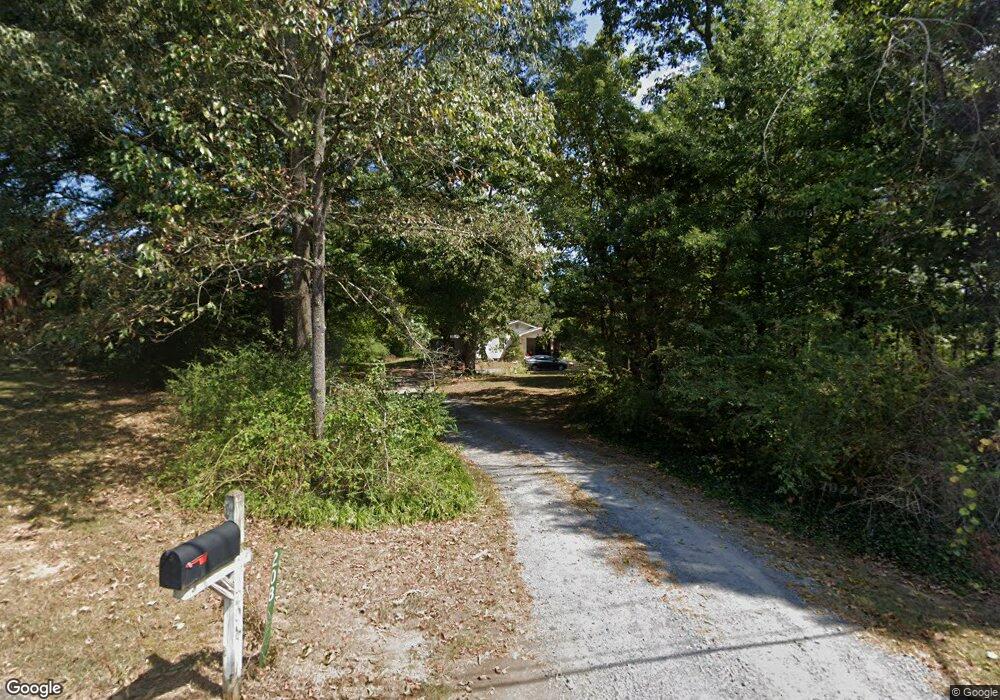
208 Highpoint Dr Calhoun, GA 30701
Estimated Value: $204,000 - $339,000
3
Beds
1
Bath
1,349
Sq Ft
$195/Sq Ft
Est. Value
About This Home
This home is located at 208 Highpoint Dr, Calhoun, GA 30701 and is currently estimated at $263,599, approximately $195 per square foot. 208 Highpoint Dr is a home located in Gordon County with nearby schools including Calhoun Primary School, Calhoun Elementary School, and Calhoun Middle School.
Ownership History
Date
Name
Owned For
Owner Type
Purchase Details
Closed on
Nov 15, 2021
Sold by
Mcfarland Alice F
Bought by
Ramos Christopher D
Current Estimated Value
Home Financials for this Owner
Home Financials are based on the most recent Mortgage that was taken out on this home.
Original Mortgage
$177,777
Outstanding Balance
$162,327
Interest Rate
3.05%
Mortgage Type
New Conventional
Estimated Equity
$101,272
Create a Home Valuation Report for This Property
The Home Valuation Report is an in-depth analysis detailing your home's value as well as a comparison with similar homes in the area
Home Values in the Area
Average Home Value in this Area
Purchase History
| Date | Buyer | Sale Price | Title Company |
|---|---|---|---|
| Ramos Christopher D | $176,000 | -- |
Source: Public Records
Mortgage History
| Date | Status | Borrower | Loan Amount |
|---|---|---|---|
| Open | Ramos Christopher D | $177,777 |
Source: Public Records
Tax History Compared to Growth
Tax History
| Year | Tax Paid | Tax Assessment Tax Assessment Total Assessment is a certain percentage of the fair market value that is determined by local assessors to be the total taxable value of land and additions on the property. | Land | Improvement |
|---|---|---|---|---|
| 2024 | $1,454 | $57,240 | $6,280 | $50,960 |
| 2023 | $1,302 | $51,240 | $6,000 | $45,240 |
| 2022 | $1,305 | $48,320 | $6,000 | $42,320 |
| 2021 | $247 | $28,000 | $6,000 | $22,000 |
| 2020 | $248 | $27,880 | $6,000 | $21,880 |
| 2019 | $256 | $28,628 | $6,000 | $22,628 |
| 2018 | $226 | $25,428 | $6,000 | $19,428 |
| 2017 | $220 | $24,428 | $6,000 | $18,428 |
| 2016 | $221 | $24,428 | $6,000 | $18,428 |
| 2015 | $210 | $23,188 | $6,000 | $17,188 |
| 2014 | $551 | $20,920 | $6,008 | $14,912 |
Source: Public Records
Map
Nearby Homes
- 103 Mims Dr
- 106 Mount Vernon Dr
- 114 Lindsey Ct NE
- 108 Mill Stone Dr
- 154 Millers Ln
- 137 Millers Ln
- 135 Millers Ln
- 122 Millers Ln
- 118 Old Mill Dr
- 106 Millers Ln
- 125 Mill Pond Ln
- 91 Echota 4th St
- 98 Echota 5th St
- 115 Old Mill Dr
- 113 Mill Pond Ln
- 622 Pisgah Way
- 107 Garden Hill Dr
- 113 Waterside Dr
- 121 Hunt Dr
- 218 Newtown Rd NE