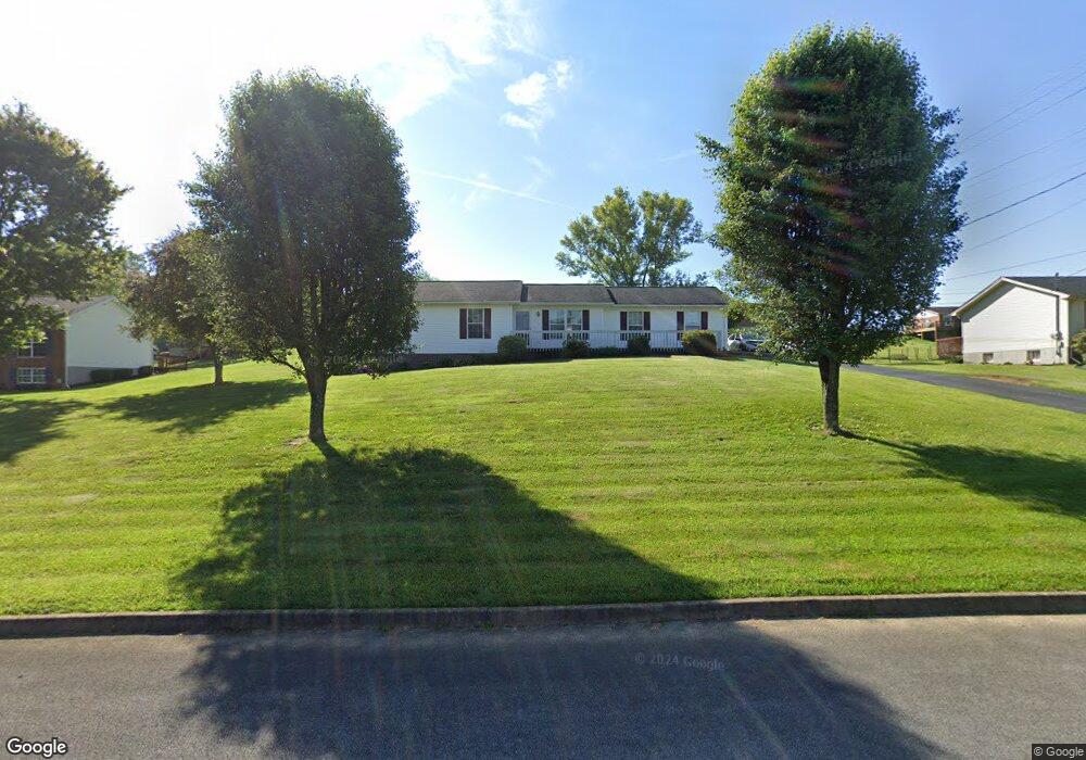
208 Lindas Way Bristol, TN 37620
Estimated Value: $185,781 - $264,000
--
Bed
2
Baths
1,060
Sq Ft
$211/Sq Ft
Est. Value
About This Home
This home is located at 208 Lindas Way, Bristol, TN 37620 and is currently estimated at $223,195, approximately $210 per square foot. 208 Lindas Way is a home located in Sullivan County with nearby schools including Bluff City Elementary School, Sullivan East Middle School, and Sullivan East High School.
Ownership History
Date
Name
Owned For
Owner Type
Purchase Details
Closed on
Feb 21, 2003
Sold by
Radian Services Llc
Bought by
Lee Robin G
Current Estimated Value
Home Financials for this Owner
Home Financials are based on the most recent Mortgage that was taken out on this home.
Original Mortgage
$88,900
Outstanding Balance
$37,907
Interest Rate
5.89%
Estimated Equity
$185,288
Purchase Details
Closed on
Aug 9, 2002
Sold by
Wilson R Jr Suc Trustee
Bought by
Federal Home Loan Mortgage
Purchase Details
Closed on
May 19, 1999
Create a Home Valuation Report for This Property
The Home Valuation Report is an in-depth analysis detailing your home's value as well as a comparison with similar homes in the area
Home Values in the Area
Average Home Value in this Area
Purchase History
| Date | Buyer | Sale Price | Title Company |
|---|---|---|---|
| Lee Robin G | $88,900 | -- | |
| Federal Home Loan Mortgage | $84,652 | -- | |
| -- | $85,900 | -- |
Source: Public Records
Mortgage History
| Date | Status | Borrower | Loan Amount |
|---|---|---|---|
| Open | -- | $88,900 |
Source: Public Records
Tax History Compared to Growth
Tax History
| Year | Tax Paid | Tax Assessment Tax Assessment Total Assessment is a certain percentage of the fair market value that is determined by local assessors to be the total taxable value of land and additions on the property. | Land | Improvement |
|---|---|---|---|---|
| 2024 | $736 | $29,500 | $4,800 | $24,700 |
| 2023 | $710 | $29,500 | $4,800 | $24,700 |
| 2022 | $698 | $29,025 | $4,800 | $24,225 |
| 2021 | $698 | $29,025 | $4,800 | $24,225 |
| 2020 | $702 | $29,025 | $4,800 | $24,225 |
| 2019 | $702 | $27,325 | $4,800 | $22,525 |
| 2018 | $697 | $27,325 | $4,800 | $22,525 |
| 2017 | $697 | $27,325 | $4,800 | $22,525 |
| 2016 | $734 | $28,500 | $4,800 | $23,700 |
| 2014 | $657 | $28,494 | $0 | $0 |
Source: Public Records
Map
Nearby Homes
- 312 Rutledge St
- 2158 Vance Tank Rd
- Tbd Hill Dr
- TBD Sweet Knobs Trail
- 1237 White Top Rd
- 496 Pleasant Grove Rd
- 3493 Weaver Pike
- 143 Lazy Acres
- 1026 Deer Harbour Rd
- 159 Peoples Rd
- Tbd Sportsway Dr
- 292 Peters Rd
- 4045 Weaver Pike
- 1056 White Top Rd
- 1476 Silver Grove Rd
- 403 Martindale Rd
- 101 Timberlane Rd
- 302 Martindale Rd
- 316 Timberlane Rd
- 100 Martindale Rd
- 208 Linda's Way
- 212 Lindas Way
- 233 Springfield Dr
- 204 Lindas Way
- 241 Springfield Dr
- 225 Springfield Dr
- 209 Lindas Way
- 205 Lindas Way
- 249 Springfield Dr
- 217 Springfield Dr
- 216 Lindas Way
- 448 Broyles Ln
- 232 Springfield Dr
- 240 Springfield Dr
- 201 Lindas Way
- 265 Springfield Dr
- 432 Broyles Ln
- 213 Lindas Way
- 248 Springfield Dr
- 306 Skyland Dr