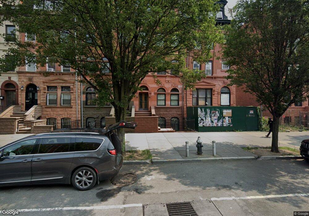
208 Malcolm x Blvd New York, NY 10027
Central Harlem NeighborhoodEstimated Value: $2,550,000 - $4,488,495
--
Bed
--
Bath
4,934
Sq Ft
$684/Sq Ft
Est. Value
About This Home
This home is located at 208 Malcolm x Blvd, New York, NY 10027 and is currently estimated at $3,375,832, approximately $684 per square foot. 208 Malcolm x Blvd is a home located in New York County with nearby schools including Ps 242 The Young Diplomats Magnet School, Neighborhood Charter School of Harlem, and Mt Pleasant Christian Academy.
Ownership History
Date
Name
Owned For
Owner Type
Purchase Details
Closed on
Dec 12, 2017
Sold by
Brittain Bruce
Bought by
Oriental Darius Co Ltd and Chaves & Perlowitz Llp
Current Estimated Value
Purchase Details
Closed on
Dec 8, 2010
Sold by
208 Lenox Avenue Corp
Bought by
Brittain Bruce
Purchase Details
Closed on
Jun 21, 2007
Sold by
Francis Michael A
Bought by
208 Lenox Avenue Corp
Home Financials for this Owner
Home Financials are based on the most recent Mortgage that was taken out on this home.
Original Mortgage
$1,512,500
Interest Rate
6.39%
Mortgage Type
Purchase Money Mortgage
Purchase Details
Closed on
May 25, 1978
Sold by
Commissioner Of Finance Ny
Bought by
City Of New York
Create a Home Valuation Report for This Property
The Home Valuation Report is an in-depth analysis detailing your home's value as well as a comparison with similar homes in the area
Home Values in the Area
Average Home Value in this Area
Purchase History
| Date | Buyer | Sale Price | Title Company |
|---|---|---|---|
| Oriental Darius Co Ltd | $4,590,000 | -- | |
| Brittain Bruce | $825,000 | -- | |
| Brittain Bruce | $825,000 | -- | |
| 208 Lenox Avenue Corp | $1,475,000 | -- | |
| 208 Lenox Avenue Corp | $1,475,000 | -- | |
| City Of New York | -- | -- |
Source: Public Records
Mortgage History
| Date | Status | Borrower | Loan Amount |
|---|---|---|---|
| Previous Owner | 208 Lenox Avenue Corp | $1,512,500 |
Source: Public Records
Tax History Compared to Growth
Tax History
| Year | Tax Paid | Tax Assessment Tax Assessment Total Assessment is a certain percentage of the fair market value that is determined by local assessors to be the total taxable value of land and additions on the property. | Land | Improvement |
|---|---|---|---|---|
| 2025 | $20,217 | $106,695 | $8,871 | $97,824 |
| 2024 | $20,217 | $100,656 | $17,220 | $90,437 |
| 2023 | $20,442 | $100,656 | $8,905 | $91,751 |
| 2022 | $18,929 | $206,460 | $17,220 | $189,240 |
| 2021 | $19,834 | $220,620 | $17,220 | $203,400 |
| 2020 | $18,820 | $250,680 | $17,220 | $233,460 |
| 2019 | $17,547 | $241,440 | $17,220 | $224,220 |
| 2018 | $17,099 | $83,880 | $6,360 | $77,520 |
| 2017 | $16,971 | $83,251 | $9,381 | $73,870 |
| 2016 | $15,701 | $78,539 | $11,945 | $66,594 |
| 2015 | $4,485 | $74,094 | $12,667 | $61,427 |
| 2014 | $4,485 | $69,900 | $14,340 | $55,560 |
Source: Public Records
Map
Nearby Homes
- 14 W 121st St
- 6 W 121st St
- 5 W 120th St Unit 1
- 9 Mount Morris Park W Unit A
- 10 W 122nd St
- 42 W 120th St Unit 3-C
- 81 W 119th St
- 100 W 121st St Unit 32
- 240 Lenox Ave
- 53 W 119th St Unit 1
- 101 W 121st St
- 22 W 120th St
- 29 W 119th St Unit 3
- 103 W 122nd St
- 32 W 119th St
- 126 W 121st St
- 127 W 122nd St
- 118 W 123rd St Unit 53
- 135 W 122nd St
- 148 W 121st St Unit 5
- 208 Lenox Ave Unit 1
- 208 Lenox Ave Unit 2
- 208 Lenox Ave Unit 3
- 208 Lenox Ave
- 208 Lenox Ave Unit 2
- 208 Lenox Ave Unit 1
- 206 Malcolm x Blvd
- 210 Malcolm x Blvd
- 204 Malcolm x Blvd
- 212 Malcolm x Blvd
- 202 Malcolm x Blvd
- 214 Malcolm x Blvd
- 202 Lenox Ave Unit 3
- 202 Lenox Ave
- 202 Lenox Ave Unit 2
- 24 W 121st St
- 216 Malcolm x Blvd Unit 2 R
- 216 Malcolm x Blvd Unit 3 R
- 216 Malcolm x Blvd