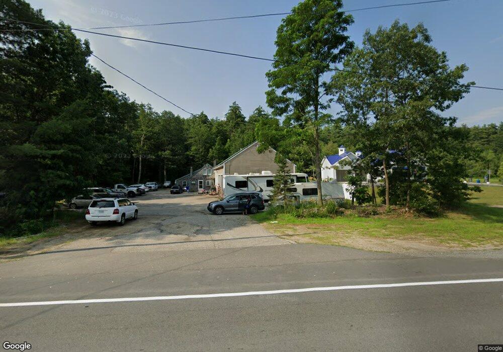
208 Mast Rd Goffstown, NH 03045
Estimated Value: $548,000 - $627,000
3
Beds
2
Baths
1,425
Sq Ft
$407/Sq Ft
Est. Value
About This Home
This home is located at 208 Mast Rd, Goffstown, NH 03045 and is currently estimated at $579,946, approximately $406 per square foot. 208 Mast Rd is a home with nearby schools including Mountain View Middle School, Goffstown High School, and Namaste Montessori School.
Ownership History
Date
Name
Owned For
Owner Type
Purchase Details
Closed on
Dec 2, 2020
Sold by
Taber Michael R and Taber Andrea A
Bought by
208 Mast Road Llc
Current Estimated Value
Home Financials for this Owner
Home Financials are based on the most recent Mortgage that was taken out on this home.
Original Mortgage
$198,000
Outstanding Balance
$175,789
Interest Rate
2.8%
Mortgage Type
New Conventional
Estimated Equity
$404,157
Purchase Details
Closed on
Aug 4, 1980
Bought by
Taber Michael R
Create a Home Valuation Report for This Property
The Home Valuation Report is an in-depth analysis detailing your home's value as well as a comparison with similar homes in the area
Home Values in the Area
Average Home Value in this Area
Purchase History
| Date | Buyer | Sale Price | Title Company |
|---|---|---|---|
| 208 Mast Road Llc | $475,000 | None Available | |
| Taber Michael R | -- | -- |
Source: Public Records
Mortgage History
| Date | Status | Borrower | Loan Amount |
|---|---|---|---|
| Open | 208 Mast Road Llc | $198,000 |
Source: Public Records
Tax History Compared to Growth
Tax History
| Year | Tax Paid | Tax Assessment Tax Assessment Total Assessment is a certain percentage of the fair market value that is determined by local assessors to be the total taxable value of land and additions on the property. | Land | Improvement |
|---|---|---|---|---|
| 2024 | $9,548 | $467,100 | $180,900 | $286,200 |
| 2023 | $8,810 | $467,100 | $180,900 | $286,200 |
| 2022 | $8,766 | $333,200 | $163,300 | $169,900 |
| 2021 | $8,270 | $333,200 | $163,300 | $169,900 |
| 2020 | $4,709 | $333,200 | $163,300 | $169,900 |
| 2019 | $8,190 | $333,200 | $163,300 | $169,900 |
| 2018 | $4,378 | $333,200 | $163,300 | $169,900 |
| 2017 | $7,858 | $297,300 | $135,500 | $161,800 |
| 2016 | $7,858 | $297,300 | $135,500 | $161,800 |
| 2015 | $7,938 | $281,900 | $125,200 | $156,700 |
| 2014 | $7,611 | $281,900 | $125,200 | $156,700 |
Source: Public Records
Map
Nearby Homes
- 0 Mast Rd Unit 49 5054665
- 76 Donald Dr
- 243 Donald Dr
- 12 Maplewood Ave
- 2 Larch St Unit 1
- 16 Roger Rd
- 4 Arabian Ct Unit B
- 5 Mustang Ct
- 3D Dearborn Cir
- 3A Dearborn Cir
- 3B Dearborn Cir
- 4B Dearborn Cir
- 53 Rachael Cir
- 11-1 Chatel Rd
- 4 Chip St
- 152 S Mast St
- 22 Winter Hill Rd
- 21A Apple Tree Dr
- 120 S Mast St
- 137 Elm St
- 197 Mast Rd
- 21 Angel Point Cir Unit A
- 25 Angel Point Cir Unit B
- 21 Angel Point Cir Unit 12A
- 21B Angel Point Cir Unit 12B
- 17A Angel Point Cir Unit 13A
- 17 Angel Point Cir Unit 13B
- 25 Angel Point Cir Unit 9A
- 25 Angel Point Cir Unit 9B
- 25 Angel Point Cir Unit 9B
- 191 Mast Rd
- 51 Henry Bridge Rd
- 186 Mast Rd Unit 49-1
- 186 Mast Rd
- 7 New Rd
- 185 Mast Rd
- 19 New Rd
- 47 Henry Bridge Rd
- 3 New Rd
- 231 Mast Rd