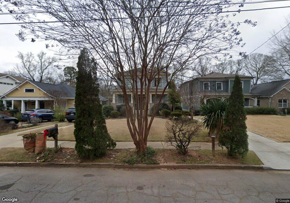
208 Maxwell St Decatur, GA 30030
Oakhurst NeighborhoodEstimated Value: $1,261,000 - $1,367,000
4
Beds
4
Baths
2,908
Sq Ft
$456/Sq Ft
Est. Value
About This Home
This home is located at 208 Maxwell St, Decatur, GA 30030 and is currently estimated at $1,326,397, approximately $456 per square foot. 208 Maxwell St is a home located in DeKalb County with nearby schools including Oakhurst Elementary School, Fifth Avenue Upper Elementary School, and Beacon Hill Middle School.
Ownership History
Date
Name
Owned For
Owner Type
Purchase Details
Closed on
Mar 24, 2024
Sold by
Ebersold Colton
Bought by
Ebersold Colton Tr and Ebersold Kristin Tr
Current Estimated Value
Purchase Details
Closed on
Sep 29, 2011
Sold by
Kce Homes
Bought by
Ebersold Colton and Ebersold Kristin
Purchase Details
Closed on
Feb 16, 2011
Sold by
Pate Daisy
Bought by
Kce Homes Llc
Purchase Details
Closed on
Jun 21, 2010
Sold by
Carter Juanita
Bought by
Pate Daisy
Create a Home Valuation Report for This Property
The Home Valuation Report is an in-depth analysis detailing your home's value as well as a comparison with similar homes in the area
Home Values in the Area
Average Home Value in this Area
Purchase History
| Date | Buyer | Sale Price | Title Company |
|---|---|---|---|
| Ebersold Colton Tr | -- | -- | |
| Ebersold Colton | $131,000 | -- | |
| Kce Homes Llc | $13,000 | -- | |
| Pate Daisy | -- | -- |
Source: Public Records
Tax History Compared to Growth
Tax History
| Year | Tax Paid | Tax Assessment Tax Assessment Total Assessment is a certain percentage of the fair market value that is determined by local assessors to be the total taxable value of land and additions on the property. | Land | Improvement |
|---|---|---|---|---|
| 2025 | $8 | $480,000 | $132,400 | $347,600 |
| 2024 | $9 | $496,280 | $132,400 | $363,880 |
| 2023 | $9 | $501,840 | $132,400 | $369,440 |
| 2022 | $17,375 | $372,160 | $60,000 | $312,160 |
| 2021 | $16,824 | $372,160 | $60,000 | $312,160 |
| 2020 | $15,290 | $379,480 | $60,000 | $319,480 |
| 2019 | $14,768 | $340,760 | $61,337 | $279,423 |
| 2018 | $9,643 | $340,759 | $61,336 | $279,423 |
| 2017 | $15,186 | $340,760 | $60,000 | $280,760 |
| 2016 | $6,322 | $237,200 | $56,928 | $180,272 |
| 2014 | $2,383 | $289,640 | $69,760 | $219,880 |
Source: Public Records
Map
Nearby Homes
- 1325 Oakview Rd
- 102 5th Ave
- 830 Oakview Rd
- 357 2nd Ave NE
- 85 E Lake Dr NE
- 263 Jefferson Place Unit 31
- 728 Oakview Rd
- 208 Mellrich Ave NE
- 211 W Hill St
- 184 Olympic Place
- 108 Park Place
- 438 Ansley St
- 16 1st Ave NE
- 2242 Ridgedale Rd NE
- 55 Daniel Ave NE
- 2347 Hosea L Williams Dr SE Unit 16
- 812 W College Ave
- 286 Sisson Ave NE