208 N Boundary Ave Mc Arthur, OH 45651
Estimated Value: $138,000 - $213,000
--
Bed
--
Bath
1,620
Sq Ft
$104/Sq Ft
Est. Value
About This Home
This home is located at 208 N Boundary Ave, Mc Arthur, OH 45651 and is currently estimated at $169,222, approximately $104 per square foot. 208 N Boundary Ave is a home with nearby schools including Vinton County High School.
Ownership History
Date
Name
Owned For
Owner Type
Purchase Details
Closed on
Dec 10, 2015
Sold by
Calvin Christyne and Francoise T Will Trust
Bought by
Caudill Jason S and Caudill Angela D
Current Estimated Value
Home Financials for this Owner
Home Financials are based on the most recent Mortgage that was taken out on this home.
Original Mortgage
$88,000
Outstanding Balance
$69,732
Interest Rate
3.93%
Mortgage Type
Future Advance Clause Open End Mortgage
Estimated Equity
$99,490
Create a Home Valuation Report for This Property
The Home Valuation Report is an in-depth analysis detailing your home's value as well as a comparison with similar homes in the area
Home Values in the Area
Average Home Value in this Area
Purchase History
| Date | Buyer | Sale Price | Title Company |
|---|---|---|---|
| Caudill Jason S | -- | None Available |
Source: Public Records
Mortgage History
| Date | Status | Borrower | Loan Amount |
|---|---|---|---|
| Open | Caudill Jason S | $88,000 |
Source: Public Records
Tax History Compared to Growth
Tax History
| Year | Tax Paid | Tax Assessment Tax Assessment Total Assessment is a certain percentage of the fair market value that is determined by local assessors to be the total taxable value of land and additions on the property. | Land | Improvement |
|---|---|---|---|---|
| 2024 | $1,825 | $41,330 | $8,230 | $33,100 |
| 2023 | $1,596 | $31,570 | $5,720 | $25,850 |
| 2022 | $1,593 | $31,570 | $5,720 | $25,850 |
| 2021 | $1,587 | $31,570 | $5,720 | $25,850 |
| 2020 | $1,633 | $30,240 | $4,990 | $25,250 |
| 2019 | $1,600 | $30,240 | $4,990 | $25,250 |
| 2018 | $1,566 | $30,240 | $4,990 | $25,250 |
| 2017 | $1,460 | $27,410 | $4,550 | $22,860 |
| 2016 | $1,456 | $27,410 | $4,550 | $22,860 |
| 2015 | $1,284 | $34,100 | $4,800 | $29,300 |
| 2014 | $1,284 | $34,100 | $4,800 | $29,300 |
Source: Public Records
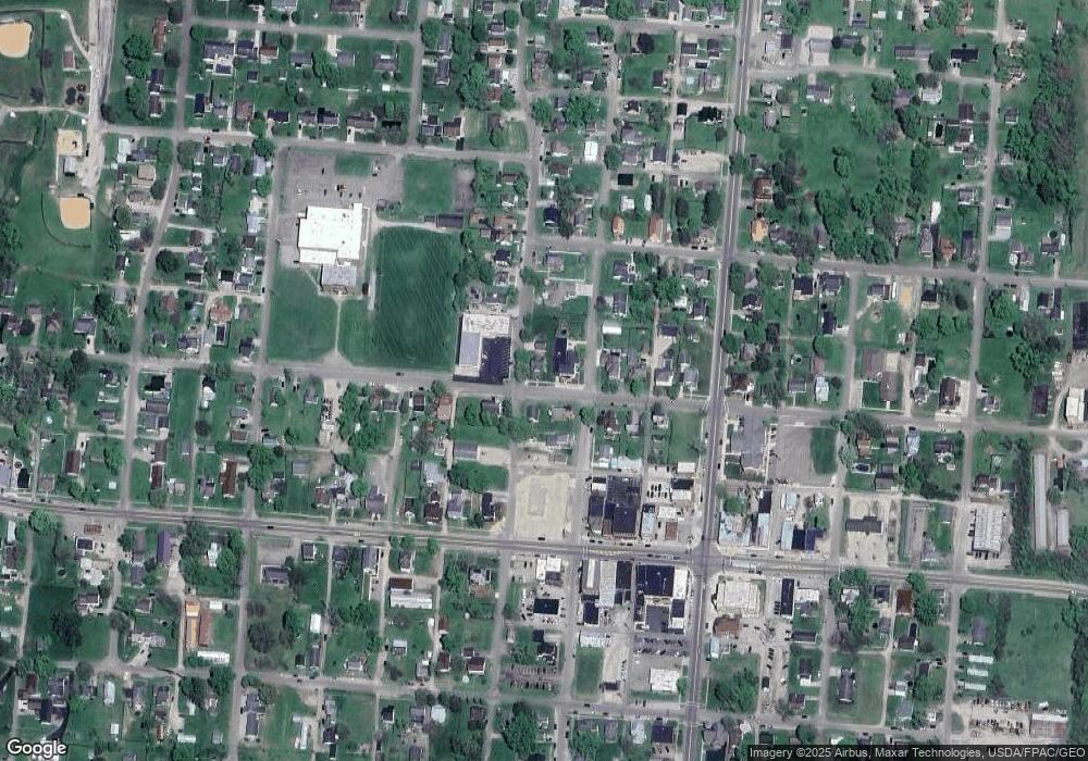
Map
Nearby Homes
- 206 N Sugar St
- 0 Highway 50
- 206 W Main St
- 106 E Maple Dr
- 403 W High St
- 106 Jane Dr
- 501 E North St
- 501 North
- 106 Maple St
- 626 Engle Dr
- 32103 State Route 93
- 33747 Wolf Hill Rd Unit (Wolf Hill House)
- 0 Wolf Hill Rd Unit (Tract 7 Wolf Hill)
- 0 Wolf Hill Rd Unit 25468491
- 0 Wolf Hill Rd Unit (Tract 3 Wolf Hill)
- 0 Wolf Hill Rd Unit 25469221
- 0 Wolf Hill Rd Unit (Tract 4 Wolf Hill)
- 0 Wolf Hill Rd Unit (Tract 2 Wolf Hill)
- 0 Wolf Hill Rd Unit 25026051
- 0 Wolf Hill Rd Unit (Tract 5 Wolf Hill)
- 210 N Boundary Ave
- TBD North St Unit US50
- 110 W North St
- 209 N Boundary Ave
- 207 N Boundary Ave
- 205 N Boundary Ave
- 203 W High St
- 203 W North St
- 201 W North St
- 107 W High St
- 211 N Boundary Ave
- 213 N Boundary Ave
- 105 W North St
- 105 W High St
- 304 N Boundary Ave
- 103 W High St
- 217 N Boundary Ave
- 108 N Sugar St
- 205 N Market St
- 205 N Market St