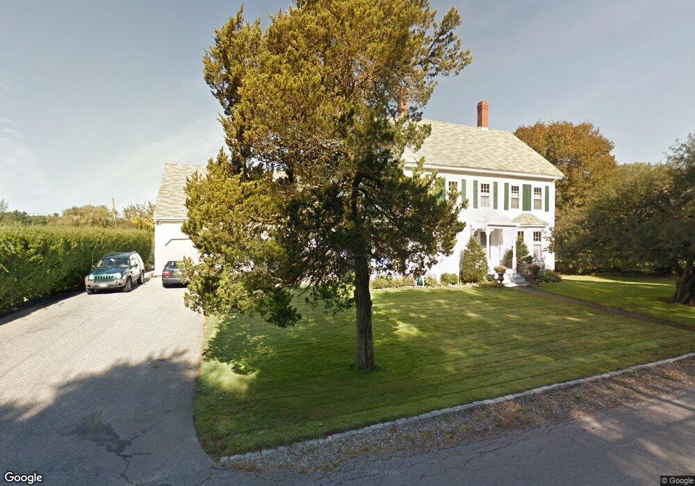
208 River Rd Eliot, ME 03903
South Eliot NeighborhoodEstimated Value: $589,000 - $721,000
4
Beds
2
Baths
2,040
Sq Ft
$320/Sq Ft
Est. Value
About This Home
This home is located at 208 River Rd, Eliot, ME 03903 and is currently estimated at $653,755, approximately $320 per square foot. 208 River Rd is a home located in York County with nearby schools including Marshwood High School and Seacoast Waldorf School.
Ownership History
Date
Name
Owned For
Owner Type
Purchase Details
Closed on
Jun 16, 2017
Sold by
Boyd John C and Boyd Maureen
Bought by
Boyd Ft
Current Estimated Value
Create a Home Valuation Report for This Property
The Home Valuation Report is an in-depth analysis detailing your home's value as well as a comparison with similar homes in the area
Home Values in the Area
Average Home Value in this Area
Purchase History
| Date | Buyer | Sale Price | Title Company |
|---|---|---|---|
| Boyd Ft | -- | -- |
Source: Public Records
Tax History
| Year | Tax Paid | Tax Assessment Tax Assessment Total Assessment is a certain percentage of the fair market value that is determined by local assessors to be the total taxable value of land and additions on the property. | Land | Improvement |
|---|---|---|---|---|
| 2024 | $4,848 | $409,100 | $123,900 | $285,200 |
| 2023 | $4,811 | $392,700 | $118,300 | $274,400 |
| 2022 | $4,616 | $381,500 | $118,300 | $263,200 |
| 2021 | $4,258 | $315,400 | $108,800 | $206,600 |
| 2020 | $4,303 | $292,700 | $104,100 | $188,600 |
| 2019 | $4,303 | $292,700 | $104,100 | $188,600 |
| 2018 | $4,303 | $292,700 | $104,100 | $188,600 |
| 2017 | $4,186 | $292,700 | $104,100 | $188,600 |
| 2016 | $4,112 | $292,700 | $104,100 | $188,600 |
| 2015 | $4,060 | $290,000 | $104,100 | $185,900 |
| 2014 | $4,002 | $290,000 | $104,100 | $185,900 |
| 2013 | $3,819 | $290,000 | $104,100 | $185,900 |
Source: Public Records
Map
Nearby Homes
- 60 Pine Hill Rd S Unit 315
- 0 Franks Fort Island Unit 1650383
- 33 Little Bay Dr
- 13 Little Bay Dr
- 18 Little Bay Dr
- 0 Cote Dr Unit 55B
- 71 Shipwright Way
- 28 Little Bay Dr
- 10 Shipwright Way
- 348 Dover Point Rd
- 354 Dover Point Rd
- 21 Clearwater Dr
- 61 Beane Ln
- 18 Shipping Ln
- 18 Deborah Ln
- 41 Clearwater Dr
- Slip B18 Little Bay
- 42 Caslyn Dr
- 161 Bolt Hill Rd
- 220 Dover Point Rd
- 174 River
- 148 River
- 4 River Rd
- 169 River
- 147 River Rd
- 204 River Rd
- 93 River
- 16 Leighton Ln
- 0 River Road Map 42 Lot 55 Unit 4053234
- 0 River Road Map 42 Lot 55 Unit 1007377
- 216 River Rd
- 211 River Rd
- 12 Leighton Ln
- 18 Leighton Ln
- 18 River Rd
- 201 River Rd
- 4 Leighton Ln
- 1 Laurel Ln
- 1 River Rd
- 8 Leighton Ln
Your Personal Tour Guide
Ask me questions while you tour the home.