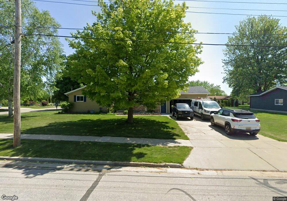
208 Shady Ln Auburn, MI 48611
Estimated Value: $191,396 - $226,000
--
Bed
--
Bath
1,196
Sq Ft
$174/Sq Ft
Est. Value
About This Home
This home is located at 208 Shady Ln, Auburn, MI 48611 and is currently estimated at $208,599, approximately $174 per square foot. 208 Shady Ln is a home located in Bay County with nearby schools including Thrasher Attendance Center, Auburn Elementary School, and Western Middle School.
Ownership History
Date
Name
Owned For
Owner Type
Purchase Details
Closed on
Apr 25, 2007
Sold by
Daoust David R and Daoust Lana
Bought by
Patterson Archie and Patterson Amanda
Current Estimated Value
Home Financials for this Owner
Home Financials are based on the most recent Mortgage that was taken out on this home.
Original Mortgage
$103,120
Outstanding Balance
$62,520
Interest Rate
6.2%
Mortgage Type
Purchase Money Mortgage
Estimated Equity
$146,079
Purchase Details
Closed on
Aug 1, 2006
Sold by
Reo Management 2004 Inc
Bought by
Daoust David R
Home Financials for this Owner
Home Financials are based on the most recent Mortgage that was taken out on this home.
Original Mortgage
$76,400
Interest Rate
7.75%
Mortgage Type
Purchase Money Mortgage
Purchase Details
Closed on
Oct 26, 2005
Sold by
Mortgage Electronic Registration Systems
Bought by
Reo Management 2004 Inc
Purchase Details
Closed on
Oct 7, 2005
Sold by
Mcmann Earl
Bought by
Mortgage Electronic Registration Systems
Create a Home Valuation Report for This Property
The Home Valuation Report is an in-depth analysis detailing your home's value as well as a comparison with similar homes in the area
Home Values in the Area
Average Home Value in this Area
Purchase History
| Date | Buyer | Sale Price | Title Company |
|---|---|---|---|
| Patterson Archie | $128,900 | None Available | |
| Daoust David R | $84,900 | Rels Title | |
| Reo Management 2004 Inc | -- | -- | |
| Mortgage Electronic Registration Systems | $91,715 | -- |
Source: Public Records
Mortgage History
| Date | Status | Borrower | Loan Amount |
|---|---|---|---|
| Open | Patterson Archie | $103,120 | |
| Previous Owner | Daoust David R | $76,400 |
Source: Public Records
Tax History Compared to Growth
Tax History
| Year | Tax Paid | Tax Assessment Tax Assessment Total Assessment is a certain percentage of the fair market value that is determined by local assessors to be the total taxable value of land and additions on the property. | Land | Improvement |
|---|---|---|---|---|
| 2025 | $2,614 | $78,000 | $0 | $0 |
| 2024 | $2,048 | $70,200 | $0 | $0 |
| 2023 | $1,950 | $60,500 | $0 | $0 |
| 2022 | $2,354 | $54,600 | $0 | $0 |
| 2021 | $2,214 | $51,400 | $51,400 | $0 |
| 2020 | $2,078 | $49,900 | $49,900 | $0 |
| 2019 | $2,010 | $49,600 | $0 | $0 |
| 2018 | $1,958 | $48,900 | $0 | $0 |
| 2017 | $1,810 | $45,400 | $0 | $0 |
| 2016 | $1,745 | $44,600 | $0 | $44,600 |
| 2015 | -- | $44,900 | $0 | $44,900 |
| 2014 | -- | $43,900 | $0 | $43,900 |
Source: Public Records
Map
Nearby Homes
- 0 S Auburn Rd
- 319 Price St
- 305 Renshar Dr
- 267 W Midland Rd
- 544 W North Union Rd
- 4649 Stephanie Ct
- 0 W North Union Rd Unit 50166876
- 4760 Putt Ln
- 4648 Meadow Ct
- 1365 W North Union Rd
- 0 Court St
- 1598 Fisherville Ct
- 1587 Fisherville Ct
- 5749 11 Mile Rd
- 4079 S 8 Mile Rd
- 4806 Northridge
- 1954 W Midland Rd
- 3509 Garfield Rd
- 2011 Prairie Point Dr
- Parcel 175 Joan Dr