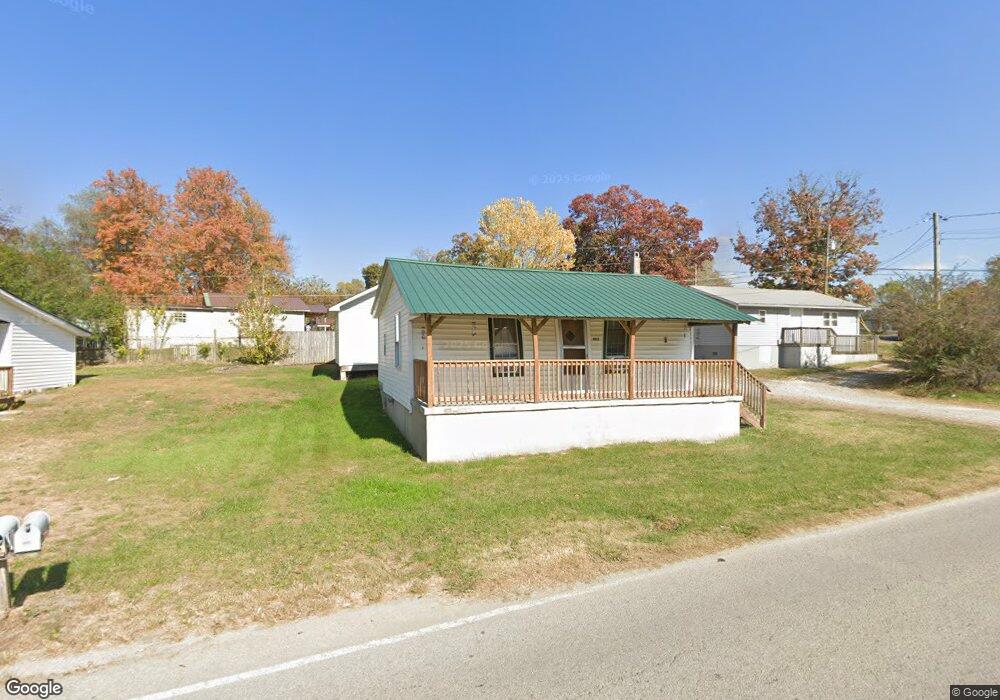
208 W Cove Rd Jamestown, TN 38556
Estimated Value: $102,000 - $180,000
--
Bed
1
Bath
520
Sq Ft
$259/Sq Ft
Est. Value
About This Home
This home is located at 208 W Cove Rd, Jamestown, TN 38556 and is currently estimated at $134,667, approximately $258 per square foot. 208 W Cove Rd is a home located in Fentress County with nearby schools including Cumberland Christian School.
Ownership History
Date
Name
Owned For
Owner Type
Purchase Details
Closed on
Feb 4, 2020
Sold by
Turgeon Robert and Turgeon Linda
Bought by
Cross State Lines Holdings Llc
Current Estimated Value
Purchase Details
Closed on
Jan 3, 2020
Sold by
Rains Edward L
Bought by
Turgeon Robert and Turgeon Linda
Purchase Details
Closed on
Mar 30, 2018
Sold by
Rains Edward
Bought by
Turgeon Robert and Turgeon Linda
Purchase Details
Closed on
May 16, 2008
Bought by
Rains Edward L
Purchase Details
Closed on
Aug 28, 1998
Bought by
Rains Edward L
Create a Home Valuation Report for This Property
The Home Valuation Report is an in-depth analysis detailing your home's value as well as a comparison with similar homes in the area
Home Values in the Area
Average Home Value in this Area
Purchase History
| Date | Buyer | Sale Price | Title Company |
|---|---|---|---|
| Cross State Lines Holdings Llc | $58,000 | None Available | |
| Turgeon Robert | -- | None Available | |
| Turgeon Robert | $47,000 | None Available | |
| Rains Edward L | $10,000 | -- | |
| Rains Edward L | $5,500 | -- |
Source: Public Records
Tax History Compared to Growth
Tax History
| Year | Tax Paid | Tax Assessment Tax Assessment Total Assessment is a certain percentage of the fair market value that is determined by local assessors to be the total taxable value of land and additions on the property. | Land | Improvement |
|---|---|---|---|---|
| 2025 | $99 | $7,325 | $0 | $0 |
| 2024 | $99 | $7,325 | $1,625 | $5,700 |
| 2023 | $99 | $7,325 | $1,625 | $5,700 |
| 2022 | $76 | $4,000 | $875 | $3,125 |
| 2021 | $76 | $4,000 | $875 | $3,125 |
| 2020 | $76 | $4,000 | $875 | $3,125 |
| 2019 | $76 | $4,000 | $875 | $3,125 |
| 2018 | $76 | $4,000 | $875 | $3,125 |
| 2017 | $39 | $1,950 | $875 | $1,075 |
| 2016 | $39 | $1,950 | $875 | $1,075 |
| 2015 | $39 | $1,960 | $0 | $0 |
| 2014 | $39 | $1,960 | $0 | $0 |
Source: Public Records
Map
Nearby Homes
- 0 N York Hwy
- 150 Fw Tate Ln
- 1041 Roysden Rd
- 1009 Roysden Rd
- 115 Copley Ave
- 598 Ted Brooks Rd
- 107 Billy Ridge Rd
- 501 Hill Rd
- 2100 Old Wolf River Rd
- 1100 N York Hwy
- 0 Old Wolf River Rd
- 0 Pickett Park Hwy Unit 1319738
- 0 Pickett Park Hwy Unit 1303598
- n/a Pickett Park Hwy
- 0 Pickett Park Hwy Unit 1296019
- 114 Ashley Rd
- 0 White Oak Rd
- 1100 N North York Hwy
- 815 N York Hwy
- 814 N York Hwy
- 177 AC N York Hwy
- 00 N York Hwy
- 1022 W Cove Rd
- 860 N York Hwy
- 817 N York Hwy
- 850 N York Hwy
- 1036 W Cove Rd
- 112 Enterprise Dr
- 865 N York Hwy
- 105 Myrtle Selby Rd
- 127 N York Hwy
- 000 Highway 154
- 123 Myrtle Selby Rd
- 1042 W Cove Rd
- 901 N York Hwy
- 818 N York Hwy
- 233 Crockett Ave