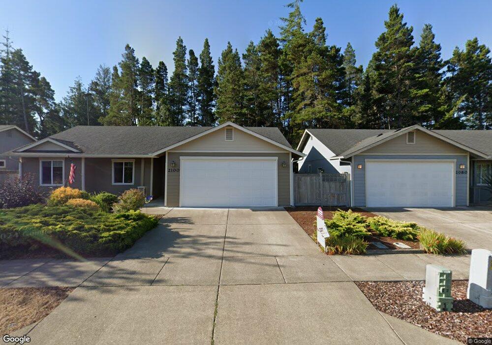
2080 52nd St Florence, OR 97439
Estimated Value: $413,277 - $474,000
3
Beds
2
Baths
1,226
Sq Ft
$358/Sq Ft
Est. Value
About This Home
This home is located at 2080 52nd St, Florence, OR 97439 and is currently estimated at $439,069, approximately $358 per square foot. 2080 52nd St is a home located in Lane County with nearby schools including Siuslaw Elementary School, Siuslaw Middle School, and Siuslaw High School.
Ownership History
Date
Name
Owned For
Owner Type
Purchase Details
Closed on
May 13, 2009
Sold by
Maxwell Construction Inc
Bought by
Busby Robert
Current Estimated Value
Purchase Details
Closed on
Aug 19, 2008
Sold by
Hickson Development Group Inc
Bought by
Maxwell Construction Inc
Home Financials for this Owner
Home Financials are based on the most recent Mortgage that was taken out on this home.
Original Mortgage
$149,000
Interest Rate
6.37%
Mortgage Type
Construction
Create a Home Valuation Report for This Property
The Home Valuation Report is an in-depth analysis detailing your home's value as well as a comparison with similar homes in the area
Home Values in the Area
Average Home Value in this Area
Purchase History
| Date | Buyer | Sale Price | Title Company |
|---|---|---|---|
| Busby Robert | $194,900 | First American Title | |
| Maxwell Construction Inc | $83,000 | First American Title |
Source: Public Records
Mortgage History
| Date | Status | Borrower | Loan Amount |
|---|---|---|---|
| Previous Owner | Maxwell Construction Inc | $149,000 |
Source: Public Records
Tax History
| Year | Tax Paid | Tax Assessment Tax Assessment Total Assessment is a certain percentage of the fair market value that is determined by local assessors to be the total taxable value of land and additions on the property. | Land | Improvement |
|---|---|---|---|---|
| 2025 | $3,045 | $217,431 | -- | -- |
| 2024 | $2,947 | $211,099 | -- | -- |
| 2023 | $2,947 | $204,951 | $0 | $0 |
| 2022 | $2,754 | $198,982 | $0 | $0 |
| 2021 | $2,699 | $193,187 | $0 | $0 |
| 2020 | $2,630 | $187,561 | $0 | $0 |
| 2019 | $2,534 | $182,099 | $0 | $0 |
| 2018 | $2,539 | $171,647 | $0 | $0 |
| 2017 | $2,451 | $171,647 | $0 | $0 |
| 2016 | $2,383 | $166,648 | $0 | $0 |
| 2015 | $2,334 | $161,794 | $0 | $0 |
| 2014 | $2,310 | $157,082 | $0 | $0 |
Source: Public Records
Map
Nearby Homes
- 0 Munsel Lake-Tl00301 Rd
- 0 Tl00600 Unit 273098679
- 0 Tl1700 Hwy 101
- 0 Spruce St Unit TL2503
- 0 Spruce St Unit TL2502
- 0 Spruce St Unit TL2300
- 0 Spruce St Unit TL2501
- 87675 U S 101 Unit 5
- 507 Robin Ln
- 5262 Nopal St
- 5282 Nopal St
- 5270 Nopal St
- 1437 53rd St
- 5299 Maple St
- 5287 Maple St
- 480 Sherwood Loop
- 0 Nordahl Rd Unit 728106937
- 212 Munsel Creek Loop
- 216 Munsel Creek Loop
- 136 43rd Way
- 2100 52nd St
- 2060 52nd St
- 2120 52nd St
- 2040 52nd St
- 2085 52nd St
- 2085 52nd St Unit 33
- 2105 52nd St Unit 32
- 2105 52nd St
- 2065 52nd St
- 2065 52nd St Unit 34
- 2140 52nd St
- 2020 52nd St
- 2125 52nd St
- 2125 52nd St Unit 31
- 2045 52nd St
- 2045 52nd St Unit 35
- 2145 52nd St
- 2145 52nd St Unit 30
- 2025 52nd St
- 2025 52nd St Unit 36
Your Personal Tour Guide
Ask me questions while you tour the home.