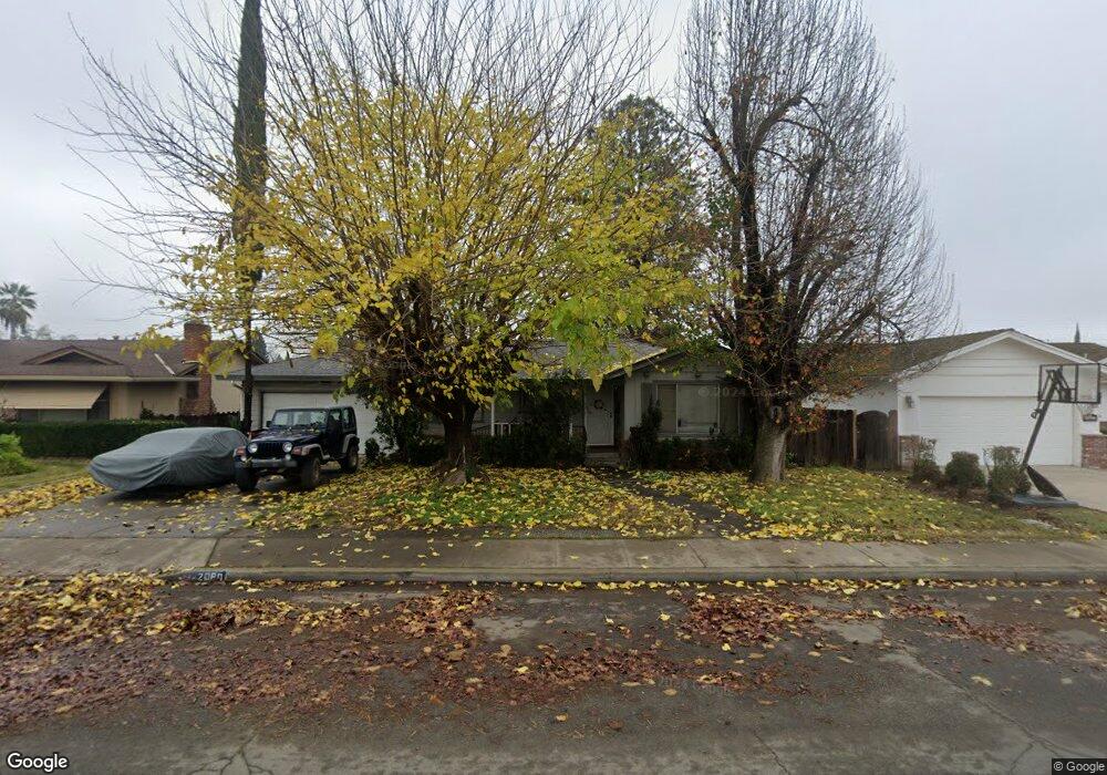
2080 Annhurst Ave Turlock, CA 95382
Estimated Value: $365,000 - $468,000
3
Beds
2
Baths
1,455
Sq Ft
$298/Sq Ft
Est. Value
About This Home
This home is located at 2080 Annhurst Ave, Turlock, CA 95382 and is currently estimated at $434,030, approximately $298 per square foot. 2080 Annhurst Ave is a home located in Stanislaus County with nearby schools including Crowell Elementary School, Marvin A. Dutcher Middle School, and Turlock Junior High School.
Ownership History
Date
Name
Owned For
Owner Type
Purchase Details
Closed on
Sep 26, 2000
Sold by
Puffer Albert W and Puffer Ruth
Bought by
Garvey Sean
Current Estimated Value
Home Financials for this Owner
Home Financials are based on the most recent Mortgage that was taken out on this home.
Original Mortgage
$132,107
Outstanding Balance
$48,075
Interest Rate
7.89%
Mortgage Type
FHA
Estimated Equity
$385,955
Create a Home Valuation Report for This Property
The Home Valuation Report is an in-depth analysis detailing your home's value as well as a comparison with similar homes in the area
Home Values in the Area
Average Home Value in this Area
Purchase History
| Date | Buyer | Sale Price | Title Company |
|---|---|---|---|
| Garvey Sean | $133,000 | Chicago Title Co |
Source: Public Records
Mortgage History
| Date | Status | Borrower | Loan Amount |
|---|---|---|---|
| Open | Garvey Sean | $132,107 |
Source: Public Records
Tax History Compared to Growth
Tax History
| Year | Tax Paid | Tax Assessment Tax Assessment Total Assessment is a certain percentage of the fair market value that is determined by local assessors to be the total taxable value of land and additions on the property. | Land | Improvement |
|---|---|---|---|---|
| 2024 | $2,037 | $196,457 | $51,692 | $144,765 |
| 2023 | $2,032 | $192,606 | $50,679 | $141,927 |
| 2022 | $2,005 | $188,831 | $49,686 | $139,145 |
| 2021 | $1,974 | $185,129 | $48,712 | $136,417 |
| 2020 | $1,960 | $183,232 | $48,213 | $135,019 |
| 2019 | $1,925 | $179,640 | $47,268 | $132,372 |
| 2018 | $1,922 | $176,119 | $46,342 | $129,777 |
| 2017 | $1,876 | $172,667 | $45,434 | $127,233 |
| 2016 | $1,750 | $169,283 | $44,544 | $124,739 |
| 2015 | $1,734 | $166,741 | $43,875 | $122,866 |
| 2014 | $1,716 | $163,476 | $43,016 | $120,460 |
Source: Public Records
Map
Nearby Homes
- 1860 Loyola Way
- 510 E Minnesota Ave
- 2661 Brooks Ct
- 500 Sherri Way
- 590 Kirkland Ct
- 641 Tammi Way
- 100 Pedras Rd
- 330 Wiley Ct
- 401 W Tuolumne Rd
- 125 Hedstrom Rd
- 1709 Brenda Way
- 2161 Georgia Way
- 2905 Niagra St Unit 168
- 2417 Andre Ln
- 2900 Andre Ln Unit 241
- 2900 Andre Ln Unit 243
- 2900 Andre Ln Unit 237
- 1366 Geer Rd
- 2505 Franks Ct
- 517 W Tuolumne Rd
- 2100 Annhurst Ave
- 2060 Annhurst Ave
- 2085 Xavier Ave
- 2120 Annhurst Ave
- 2040 Annhurst Ave
- 2065 Xavier Ave
- 2105 Xavier Ave
- 2085 Annhurst Ave
- 2065 Annhurst Ave
- 2045 Xavier Ave
- 2125 Xavier Ave
- 2105 Annhurst Ave
- 2140 Annhurst Ave
- 2020 Annhurst Ave
- 2045 Annhurst Ave
- 2125 Annhurst Ave
- 2145 Xavier Ave
- 2025 Xavier Ave
- 2025 Annhurst Ave
- 2145 Annhurst Ave