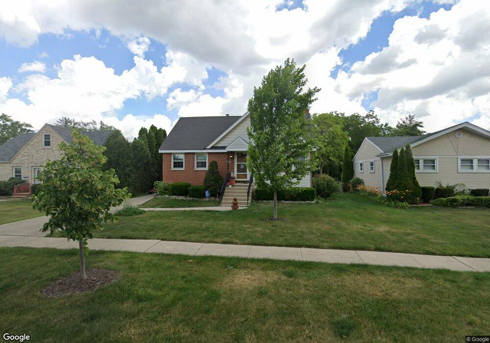
2080 Laura Ln Des Plaines, IL 60018
Estimated Value: $342,000 - $426,000
3
Beds
2
Baths
1,499
Sq Ft
$261/Sq Ft
Est. Value
About This Home
This home is located at 2080 Laura Ln, Des Plaines, IL 60018 and is currently estimated at $391,732, approximately $261 per square foot. 2080 Laura Ln is a home located in Cook County with nearby schools including Orchard Place Elementary School, Algonquin Middle School, and Maine West High School.
Ownership History
Date
Name
Owned For
Owner Type
Purchase Details
Closed on
Jan 31, 2018
Sold by
Lytle Violetta J
Bought by
Lytle Violetta J and Violetta J Lytle Revocable Trust
Current Estimated Value
Purchase Details
Closed on
Mar 24, 2011
Sold by
Lytle Carl R
Bought by
Lytle Carl R and Carl R Lytle Revocable Trust
Purchase Details
Closed on
Dec 20, 2005
Sold by
Lytle Carl R and Lytle Violetta J
Bought by
Lytle Carl R and Lytle Violetta J
Purchase Details
Closed on
Mar 31, 1998
Sold by
Lytle Carl R and Lytle Violette J
Bought by
Lytle Carl R and Lytle Violette J
Create a Home Valuation Report for This Property
The Home Valuation Report is an in-depth analysis detailing your home's value as well as a comparison with similar homes in the area
Home Values in the Area
Average Home Value in this Area
Purchase History
| Date | Buyer | Sale Price | Title Company |
|---|---|---|---|
| Lytle Violetta J | -- | None Available | |
| Lytle Carl R | -- | None Available | |
| Lytle Carl R | -- | None Available | |
| Lytle Carl R | -- | -- |
Source: Public Records
Tax History Compared to Growth
Tax History
| Year | Tax Paid | Tax Assessment Tax Assessment Total Assessment is a certain percentage of the fair market value that is determined by local assessors to be the total taxable value of land and additions on the property. | Land | Improvement |
|---|---|---|---|---|
| 2024 | $5,809 | $28,000 | $7,515 | $20,485 |
| 2023 | $3,873 | $28,000 | $7,515 | $20,485 |
| 2022 | $3,873 | $28,000 | $7,515 | $20,485 |
| 2021 | $4,505 | $29,306 | $6,262 | $23,044 |
| 2020 | $4,126 | $29,306 | $6,262 | $23,044 |
| 2019 | $4,062 | $32,929 | $6,262 | $26,667 |
| 2018 | $4,522 | $23,901 | $5,511 | $18,390 |
| 2017 | $4,364 | $23,901 | $5,511 | $18,390 |
| 2016 | $4,958 | $23,901 | $5,511 | $18,390 |
| 2015 | $5,666 | $23,294 | $4,759 | $18,535 |
| 2014 | $5,431 | $23,294 | $4,759 | $18,535 |
| 2013 | $5,421 | $23,294 | $4,759 | $18,535 |
Source: Public Records
Map
Nearby Homes
- 2126 David Dr
- 2600 S Scott St
- 1966 Laura Ln
- 2609 Eisenhower Dr
- 38 E Touhy Ave
- 2500 Maple St
- 2646 Maple St
- 1706 Buckingham Dr
- 1757 Farwell Ave
- 2993 Curtis St Unit C41
- 1641 E Touhy Ave
- 1629 E Touhy Ave
- 3051 S Scott St
- 200 Thames Pkwy Unit 1
- 500 Thames Pkwy Unit 1F
- 201 Thames Pkwy Unit 2F
- 44 Park Ln Unit 435
- 22 Park Ln Unit 203
- 400 Ascot Dr Unit 3M
- 2400 Archbury Ln Unit 2