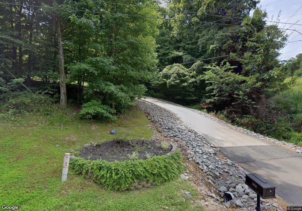
2080 Muddy Branch Rd Clarksville, TN 37043
Estimated Value: $736,000 - $782,035
--
Bed
3
Baths
3,053
Sq Ft
$250/Sq Ft
Est. Value
About This Home
This home is located at 2080 Muddy Branch Rd, Clarksville, TN 37043 and is currently estimated at $763,009, approximately $249 per square foot. 2080 Muddy Branch Rd is a home located in Montgomery County with nearby schools including East Montgomery Elementary School, Richview Middle School, and Clarksville High School.
Ownership History
Date
Name
Owned For
Owner Type
Purchase Details
Closed on
May 30, 2008
Sold by
Ezell Christopher G
Bought by
Coram David W
Current Estimated Value
Home Financials for this Owner
Home Financials are based on the most recent Mortgage that was taken out on this home.
Original Mortgage
$400,000
Outstanding Balance
$256,285
Interest Rate
6.02%
Mortgage Type
VA
Estimated Equity
$506,724
Purchase Details
Closed on
Sep 20, 2002
Sold by
Carl Evans
Bought by
Ezell Christopher G
Purchase Details
Closed on
Feb 24, 2000
Sold by
Evans Annie Mai
Bought by
Evans Carl
Create a Home Valuation Report for This Property
The Home Valuation Report is an in-depth analysis detailing your home's value as well as a comparison with similar homes in the area
Home Values in the Area
Average Home Value in this Area
Purchase History
| Date | Buyer | Sale Price | Title Company |
|---|---|---|---|
| Coram David W | $400,000 | -- | |
| Sutton Stephen A | $12,875 | -- | |
| Ezell Christopher G | $37,500 | -- | |
| Truitt Jefrey M | $37,500 | -- | |
| Evans Carl | -- | -- |
Source: Public Records
Mortgage History
| Date | Status | Borrower | Loan Amount |
|---|---|---|---|
| Open | Evans Carl | $400,000 | |
| Closed | Evans Carl | $400,000 |
Source: Public Records
Tax History Compared to Growth
Tax History
| Year | Tax Paid | Tax Assessment Tax Assessment Total Assessment is a certain percentage of the fair market value that is determined by local assessors to be the total taxable value of land and additions on the property. | Land | Improvement |
|---|---|---|---|---|
| 2024 | $3,368 | $160,388 | $0 | $0 |
| 2023 | $3,368 | $101,498 | $0 | $0 |
| 2022 | $3,035 | $101,498 | $0 | $0 |
| 2021 | $3,035 | $101,498 | $0 | $0 |
| 2020 | $3,035 | $101,498 | $0 | $0 |
| 2019 | $3,035 | $101,498 | $0 | $0 |
| 2018 | $2,339 | $74,361 | $0 | $0 |
| 2017 | $2,339 | $76,194 | $0 | $0 |
| 2016 | $2,339 | $76,194 | $0 | $0 |
| 2015 | $2,267 | $76,194 | $0 | $0 |
| 2014 | $2,267 | $76,194 | $0 | $0 |
| 2013 | $2,527 | $80,475 | $0 | $0 |
Source: Public Records
Map
Nearby Homes
- 2264 Lock B Rd N
- 2355 Davidson Graveyard Rd
- 2169 Lock B Rd N
- 2635 Lock B Rd N
- 2105 Lock B Rd N
- 1640 Harvill Rd
- 0 Gholson Rd
- 1870 Hickory Point Rd
- 1800 Hickory Point Rd
- 1840 Gholson Rd
- 1832 Gholson Rd
- 1824 Gholson Rd
- 1816 Gholson Rd
- 1808 Gholson Rd
- 0 Southside Rd
- 2526 Bearden Rd
- 8 Jarrell Ridge Rd
- 1 Jarrell Ridge Rd
- 2 Jarrell Ridge Rd
- 3 Jarrell Ridge Rd
- 2060 Muddy Branch Rd
- 2289 Lock B Rd N
- 0 Muddy Branch Rd Unit RTC2454965
- 0 Muddy Branch Rd Unit RTC2392457
- 0 Muddy Branch Rd Unit RTC2375693
- 2265 Holt Rd
- 2301 Lock B Rd N
- 2266 Lock B Rd N
- 2280 Holt Rd
- 2631 Holt Ln
- 2286 Holt Rd
- 2274 Lock B Rd N
- 2100 Holt Rd
- 2292 Holt Rd
- 1829 Breezemont Dr
- 2262 Lock B Rd N
- 2641 Holt Ln
- 2620 Holt Ln
- 2365 Lock B Rd N
- 2298 Holt Rd
