2080 Tanager Rd Estes Park, CO 80517
Estimated Value: $567,000 - $610,000
2
Beds
3
Baths
1,454
Sq Ft
$406/Sq Ft
Est. Value
About This Home
This home is located at 2080 Tanager Rd, Estes Park, CO 80517 and is currently estimated at $591,022, approximately $406 per square foot. 2080 Tanager Rd is a home located in Larimer County with nearby schools including Estes Park K-5 School, Estes Park Options School, and Estes Park Middle School.
Ownership History
Date
Name
Owned For
Owner Type
Purchase Details
Closed on
Jan 13, 2020
Sold by
Piepgras Donald J and Piepgras Marhta W
Bought by
Doma Pirpgras Revocable Family Trust
Current Estimated Value
Purchase Details
Closed on
Nov 5, 2009
Sold by
Washburne Brenton P
Bought by
Piepgras Donald J and Piepgras Martha W
Purchase Details
Closed on
Sep 1, 1994
Sold by
Washburne Brenton P
Bought by
Washburne Brenton P Trust
Purchase Details
Closed on
May 1, 1994
Sold by
Washburne Brenton P
Bought by
Washburne Brenton P Trust
Create a Home Valuation Report for This Property
The Home Valuation Report is an in-depth analysis detailing your home's value as well as a comparison with similar homes in the area
Home Values in the Area
Average Home Value in this Area
Purchase History
| Date | Buyer | Sale Price | Title Company |
|---|---|---|---|
| Doma Pirpgras Revocable Family Trust | -- | None Available | |
| Doma Piepgras Revocable Family Trust | -- | None Available | |
| Piepgras Donald J | -- | None Available | |
| Washburne Brenton P Trust | -- | -- | |
| Washburne Brenton P Trust | -- | -- |
Source: Public Records
Tax History Compared to Growth
Tax History
| Year | Tax Paid | Tax Assessment Tax Assessment Total Assessment is a certain percentage of the fair market value that is determined by local assessors to be the total taxable value of land and additions on the property. | Land | Improvement |
|---|---|---|---|---|
| 2025 | $2,492 | $35,570 | $28,140 | $7,430 |
| 2024 | $2,252 | $35,570 | $28,140 | $7,430 |
| 2022 | $2,471 | $33,145 | $13,831 | $19,314 |
| 2021 | $2,537 | $34,099 | $14,229 | $19,870 |
| 2020 | $2,754 | $36,473 | $14,229 | $22,244 |
| 2019 | $2,733 | $36,473 | $14,229 | $22,244 |
| 2018 | $2,108 | $27,259 | $13,320 | $13,939 |
| 2017 | $2,120 | $27,259 | $13,320 | $13,939 |
| 2016 | $1,942 | $25,870 | $14,726 | $11,144 |
| 2015 | $1,918 | $25,870 | $14,730 | $11,140 |
| 2014 | $1,470 | $20,370 | $17,910 | $2,460 |
Source: Public Records
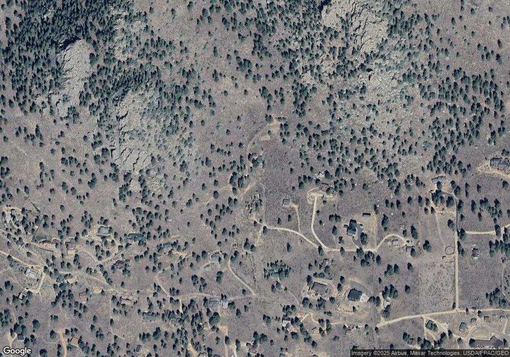
Map
Nearby Homes
- 725 Upper Larkspur Ln
- 739 Larkspur Rd
- 1611 High Dr
- 810 Larkspur Rd
- 811 Larkspur Rd
- 831 Larkspur Rd
- 1565 Highway 66 Unit 46
- 1565 Highway 66 Unit 33
- 1565 Highway 66 Unit 27
- 1565 Highway 66 Unit 49
- 1565 Highway 66 Unit 28
- 1401 High Dr
- 2327 Deer Ridge Dr
- 1575 Lower Broadview Rd
- 1070 Crestview Ct Unit 7
- 1070 Crestview Ct Unit 4
- 2220 Eagle Cliff Rd
- 2238 Eagle Cliff Rd
- 1895 Fall River Rd
- 1263 Broadview
- 2075 Tanager Rd
- 2075 Tanager Rd
- 2040 Tanager Rd
- 2069 Upper High Dr
- 2012 Tanager Rd
- 2010 Tanager Rd
- 2071 Penstemon Dr
- 2161 Penstemon Dr
- 2121 High Dr
- 1970 Tanager Rd
- 1995 High Dr
- 2110 Penstemon Dr
- 2501 High Dr
- 2051 Upper High Dr
- 2211 Upper High Dr
- 2060 Upper High Dr
- 2120 Upper High Dr
- 0 Tanager Rd Unit 544211
- 0 Tanager Rd Unit 462561
- 0 Tanager Rd Unit 563772