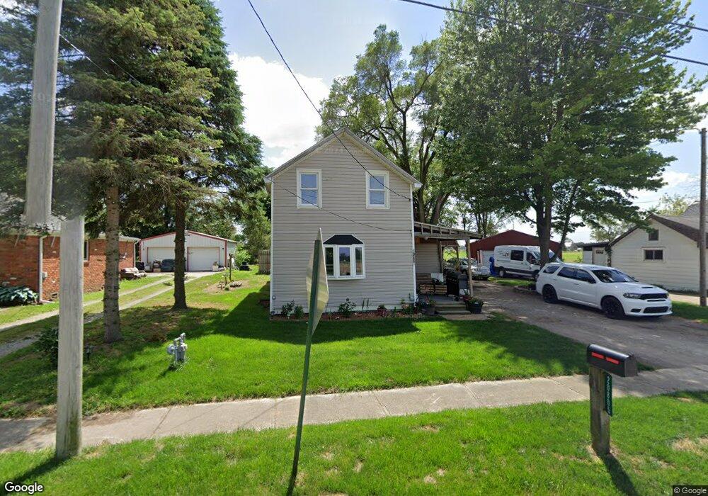
20805 Main St Weston, OH 43569
Estimated Value: $58,000 - $157,000
2
Beds
1
Bath
854
Sq Ft
$123/Sq Ft
Est. Value
About This Home
This home is located at 20805 Main St, Weston, OH 43569 and is currently estimated at $105,221, approximately $123 per square foot. 20805 Main St is a home located in Wood County with nearby schools including Otsego Elementary School, Otsego Junior High School, and Otsego High School.
Ownership History
Date
Name
Owned For
Owner Type
Purchase Details
Closed on
Jan 24, 2008
Sold by
Homesales Inc
Bought by
Huling Kimberly A
Current Estimated Value
Home Financials for this Owner
Home Financials are based on the most recent Mortgage that was taken out on this home.
Original Mortgage
$26,000
Interest Rate
6.11%
Mortgage Type
Purchase Money Mortgage
Purchase Details
Closed on
Aug 24, 2007
Sold by
Mcafee Robert L and Mcafee Robert
Bought by
Deutsche Bank National Trust Co and Bankers Trust Co Of California Na
Purchase Details
Closed on
Nov 20, 1992
Bought by
Mcafee Robert
Create a Home Valuation Report for This Property
The Home Valuation Report is an in-depth analysis detailing your home's value as well as a comparison with similar homes in the area
Purchase History
| Date | Buyer | Sale Price | Title Company |
|---|---|---|---|
| Huling Kimberly A | $10,333 | Sovereign Title Agency Llc | |
| Homesales Inc | $27,000 | Sovereign Title Agency Llc | |
| Deutsche Bank National Trust Co | $14,000 | Attorney | |
| Mcafee Robert | $7,900 | -- |
Source: Public Records
Mortgage History
| Date | Status | Borrower | Loan Amount |
|---|---|---|---|
| Closed | Huling Kimberly A | $26,000 |
Source: Public Records
Tax History
| Year | Tax Paid | Tax Assessment Tax Assessment Total Assessment is a certain percentage of the fair market value that is determined by local assessors to be the total taxable value of land and additions on the property. | Land | Improvement |
|---|---|---|---|---|
| 2025 | $701 | $16,695 | $4,060 | $12,635 |
| 2024 | $716 | $16,695 | $4,060 | $12,635 |
| 2023 | $716 | $16,700 | $4,060 | $12,640 |
| 2021 | $500 | $10,610 | $4,060 | $6,550 |
| 2020 | $503 | $10,610 | $4,060 | $6,550 |
| 2019 | $492 | $9,730 | $4,060 | $5,670 |
| 2018 | $707 | $9,730 | $4,060 | $5,670 |
| 2017 | $468 | $9,730 | $4,060 | $5,670 |
| 2016 | $419 | $8,890 | $4,060 | $4,830 |
| 2015 | $419 | $8,890 | $4,060 | $4,830 |
| 2014 | $557 | $8,890 | $4,060 | $4,830 |
| 2013 | $466 | $8,890 | $4,060 | $4,830 |
Source: Public Records
Map
Nearby Homes
- 13439 Ash St
- 20210 Oak St
- 21490 Portage Rd
- 0 Otsego Pike Unit 6136991
- 22487 U S 6
- 0 Sand Ridge Rd Unit 10004038
- 15722 Range Line Rd
- 17884 Euler Rd
- 0 Portage Rd Unit 10004034
- 17267 Reams Rd
- 17345 Reams Rd
- 0 Kellogg Rd Unit 6125521
- 14590 Liberty Hi Rd
- 22759 Defiance Pike
- 17566 Wapakoneta Rd
- 23763 Front St
- 23117 Defiance Pike
- 16920 Long Judson Rd
- 16896 Long Judson Rd
- 24269 W Second St
Your Personal Tour Guide
Ask me questions while you tour the home.