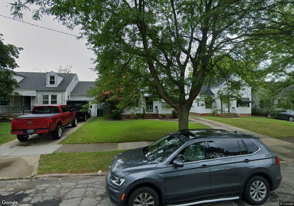
20806 Raymond St Maple Heights, OH 44137
Estimated Value: $88,000 - $147,000
3
Beds
2
Baths
1,820
Sq Ft
$62/Sq Ft
Est. Value
About This Home
This home is located at 20806 Raymond St, Maple Heights, OH 44137 and is currently estimated at $113,165, approximately $62 per square foot. 20806 Raymond St is a home located in Cuyahoga County with nearby schools including Abraham Lincoln Elementary School, Rockside/ J.F. Kennedy School, and Italy High School.
Ownership History
Date
Name
Owned For
Owner Type
Purchase Details
Closed on
Mar 29, 2011
Sold by
Goodman Barbara G
Bought by
Vines Edwin Pierre
Current Estimated Value
Purchase Details
Closed on
Aug 25, 2004
Sold by
Benton Brenda J and Benton Sheldon E
Bought by
Goodman Barbara G
Home Financials for this Owner
Home Financials are based on the most recent Mortgage that was taken out on this home.
Original Mortgage
$94,301
Interest Rate
6.08%
Mortgage Type
Purchase Money Mortgage
Purchase Details
Closed on
Nov 29, 1991
Sold by
Richard D Rieger
Bought by
Grant Brenda J
Purchase Details
Closed on
Sep 4, 1981
Sold by
Rieger Richard D
Bought by
Richard D Rieger
Purchase Details
Closed on
Apr 13, 1977
Sold by
Lehmann D
Bought by
Rieger Richard D
Purchase Details
Closed on
Jan 1, 1975
Bought by
Lehmann D
Create a Home Valuation Report for This Property
The Home Valuation Report is an in-depth analysis detailing your home's value as well as a comparison with similar homes in the area
Home Values in the Area
Average Home Value in this Area
Purchase History
| Date | Buyer | Sale Price | Title Company |
|---|---|---|---|
| Vines Edwin Pierre | $27,000 | Emerald Glen Title | |
| Goodman Barbara G | $95,500 | Choice Title Agency | |
| Grant Brenda J | $68,500 | -- | |
| Richard D Rieger | -- | -- | |
| Rieger Richard D | $28,800 | -- | |
| Lehmann D | -- | -- |
Source: Public Records
Mortgage History
| Date | Status | Borrower | Loan Amount |
|---|---|---|---|
| Previous Owner | Goodman Barbara G | $94,301 |
Source: Public Records
Tax History Compared to Growth
Tax History
| Year | Tax Paid | Tax Assessment Tax Assessment Total Assessment is a certain percentage of the fair market value that is determined by local assessors to be the total taxable value of land and additions on the property. | Land | Improvement |
|---|---|---|---|---|
| 2024 | $2,663 | $28,000 | $7,000 | $21,000 |
| 2023 | $2,123 | $18,980 | $4,240 | $14,740 |
| 2022 | $2,116 | $18,970 | $4,240 | $14,740 |
| 2021 | $2,254 | $18,970 | $4,240 | $14,740 |
| 2020 | $1,933 | $14,390 | $3,220 | $11,170 |
| 2019 | $1,923 | $41,100 | $9,200 | $31,900 |
| 2018 | $1,780 | $14,390 | $3,220 | $11,170 |
| 2017 | $1,784 | $12,920 | $2,980 | $9,940 |
| 2016 | $1,726 | $12,920 | $2,980 | $9,940 |
| 2015 | $1,721 | $12,920 | $2,980 | $9,940 |
| 2014 | $1,721 | $14,220 | $3,260 | $10,960 |
Source: Public Records
Map
Nearby Homes
- 20814 Watson Rd
- 20907 Watson Rd
- 20715 Watson Rd
- 21102 Raymond St
- 21207 Franklin Rd
- 20120 Mccracken Rd
- 20814 Kenyon Dr
- 20701 Kenyon Dr
- 20510 Mountville Dr
- 21416 Gardenview Dr
- 20107 Libby Rd
- 19807 Gardenview Dr
- 19806 Mountville Dr
- 19520 Maple Heights Blvd
- 19812 Stockton Ave
- 19309 Nitra Ave
- 5165 Camden Rd
- 19289 Stafford Ave
- 5285 Mardale Ave
- 5301 Mardale Ave
- 20802 Raymond St
- 20810 Raymond St
- 20814 Raymond St
- 20714 Raymond St
- 20809 Franklin Rd
- 20813 Franklin Rd
- 20817 Franklin Rd
- 20710 Raymond St
- 20900 Raymond St
- 20807 Raymond St
- 20803 Raymond St
- 20811 Raymond St
- 20719 Raymond St
- 20815 Raymond St
- 20904 Raymond St
- 20706 Raymond St
- 20713 Franklin Rd
- 20901 Franklin Rd
- 20715 Raymond St
- 20819 Raymond St