2081 Derbyshire Rd Furlong, PA 18925
Estimated Value: $1,039,783 - $1,141,000
4
Beds
3
Baths
4,126
Sq Ft
$267/Sq Ft
Est. Value
About This Home
This home is located at 2081 Derbyshire Rd, Furlong, PA 18925 and is currently estimated at $1,101,446, approximately $266 per square foot. 2081 Derbyshire Rd is a home located in Bucks County with nearby schools including Bridge Valley Elementary School, Holicong Middle School, and Central Bucks High School - East.
Ownership History
Date
Name
Owned For
Owner Type
Purchase Details
Closed on
Jun 22, 2007
Sold by
Reed Samuel A and Reed Joanne M
Bought by
Walker Scott William and Walker Gail Graham
Current Estimated Value
Home Financials for this Owner
Home Financials are based on the most recent Mortgage that was taken out on this home.
Original Mortgage
$139,000
Interest Rate
6.25%
Mortgage Type
Stand Alone Second
Purchase Details
Closed on
Jun 4, 2004
Sold by
Orleans Corp
Bought by
Reed Samuel A and Reed Joanne M
Home Financials for this Owner
Home Financials are based on the most recent Mortgage that was taken out on this home.
Original Mortgage
$250,000
Interest Rate
5.41%
Mortgage Type
Purchase Money Mortgage
Create a Home Valuation Report for This Property
The Home Valuation Report is an in-depth analysis detailing your home's value as well as a comparison with similar homes in the area
Home Values in the Area
Average Home Value in this Area
Purchase History
| Date | Buyer | Sale Price | Title Company |
|---|---|---|---|
| Walker Scott William | $695,000 | Lawyers Title Ins | |
| Reed Samuel A | $571,765 | First American Title Ins Co |
Source: Public Records
Mortgage History
| Date | Status | Borrower | Loan Amount |
|---|---|---|---|
| Closed | Walker Scott William | $139,000 | |
| Open | Walker Scott William | $417,000 | |
| Previous Owner | Reed Samuel A | $250,000 |
Source: Public Records
Tax History Compared to Growth
Tax History
| Year | Tax Paid | Tax Assessment Tax Assessment Total Assessment is a certain percentage of the fair market value that is determined by local assessors to be the total taxable value of land and additions on the property. | Land | Improvement |
|---|---|---|---|---|
| 2025 | $10,410 | $63,940 | $10,800 | $53,140 |
| 2024 | $10,410 | $63,940 | $10,800 | $53,140 |
| 2023 | $10,057 | $63,940 | $10,800 | $53,140 |
| 2022 | $9,937 | $63,940 | $10,800 | $53,140 |
| 2021 | $9,818 | $63,940 | $10,800 | $53,140 |
| 2020 | $9,818 | $63,940 | $10,800 | $53,140 |
| 2019 | $9,754 | $63,940 | $10,800 | $53,140 |
| 2018 | $9,754 | $63,940 | $10,800 | $53,140 |
| 2017 | $9,674 | $63,940 | $10,800 | $53,140 |
| 2016 | $9,770 | $63,940 | $10,800 | $53,140 |
| 2015 | -- | $63,940 | $10,800 | $53,140 |
| 2014 | -- | $63,940 | $10,800 | $53,140 |
Source: Public Records
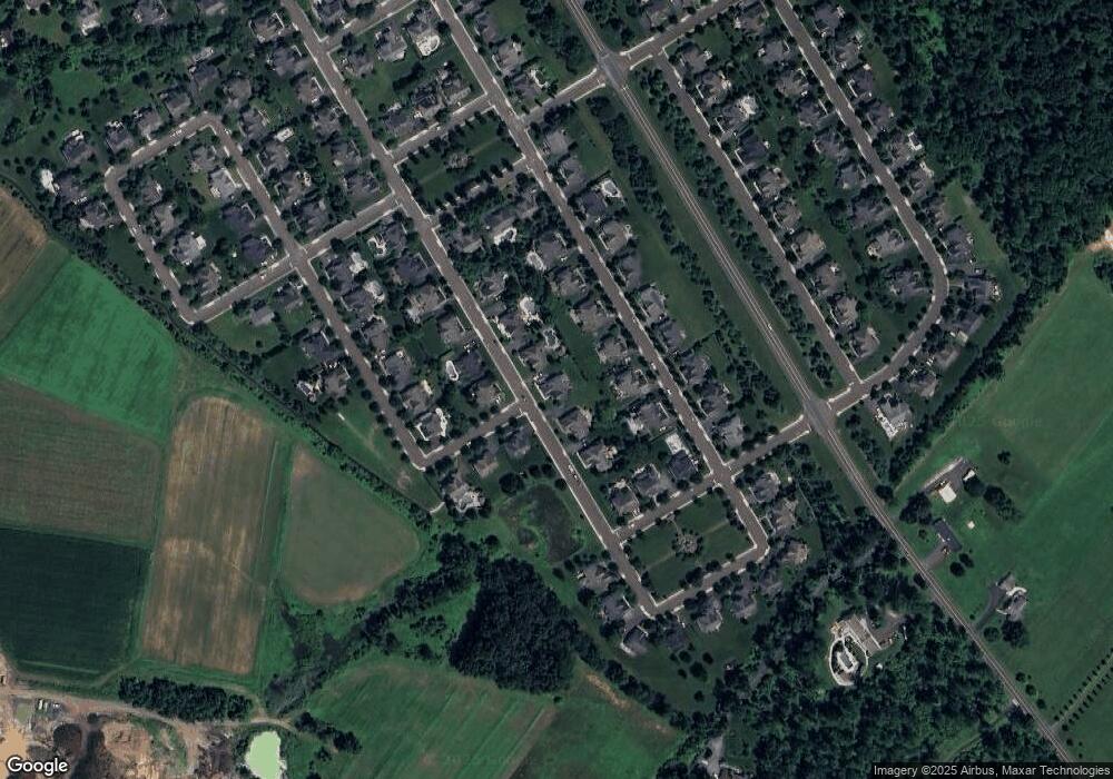
Map
Nearby Homes
- 2080 Bedfordshire Rd
- 2209 Swamp Rd
- 0 Old York Rd Unit PABU2103356
- 3017 Dorchester St E Unit 125
- 2113 Redbud Ln
- 2310 S Whittmore St
- 1948 Forest Grove Rd
- 3657 Powder Horn Dr
- 3772 Powder Horn Dr
- 2443 Sugar Bottom Rd
- 547 Mccarty Dr
- 106 Saddle Dr
- 2807 Mountain Laurel Dr
- lot #3 next to 3739 York Rd
- 108 Eagle Ct Unit 105
- 1515 Sugar Bottom Rd
- 4549 Lower Mountain Rd
- 2479 Wheatfield Ln
- 1249 Pebble Hill Rd
- 420 Edison Furlong Rd
- 2075 Derbyshire Rd
- 2087 Derbyshire Rd
- 2064 Brookshire Rd
- 2072 Brookshire Rd
- 2056 Brookshire Rd
- 2078 Derbyshire Rd
- 2079 Lincolnshire Rd
- 2099 Derbyshire Rd
- 2092 Derbyshire Rd
- 2048 Brookshire Rd
- 2080 Brookshire Rd
- 2080 Lincolnshire Rd
- 2103 Derbyshire Rd
- 2096 Derbyshire Rd
- 3324 Cheshire Rd
- 3328 Cheshire Rd
- 2088 Brookshire Rd
- 2059 Brookshire Rd
- 2067 Brookshire Rd