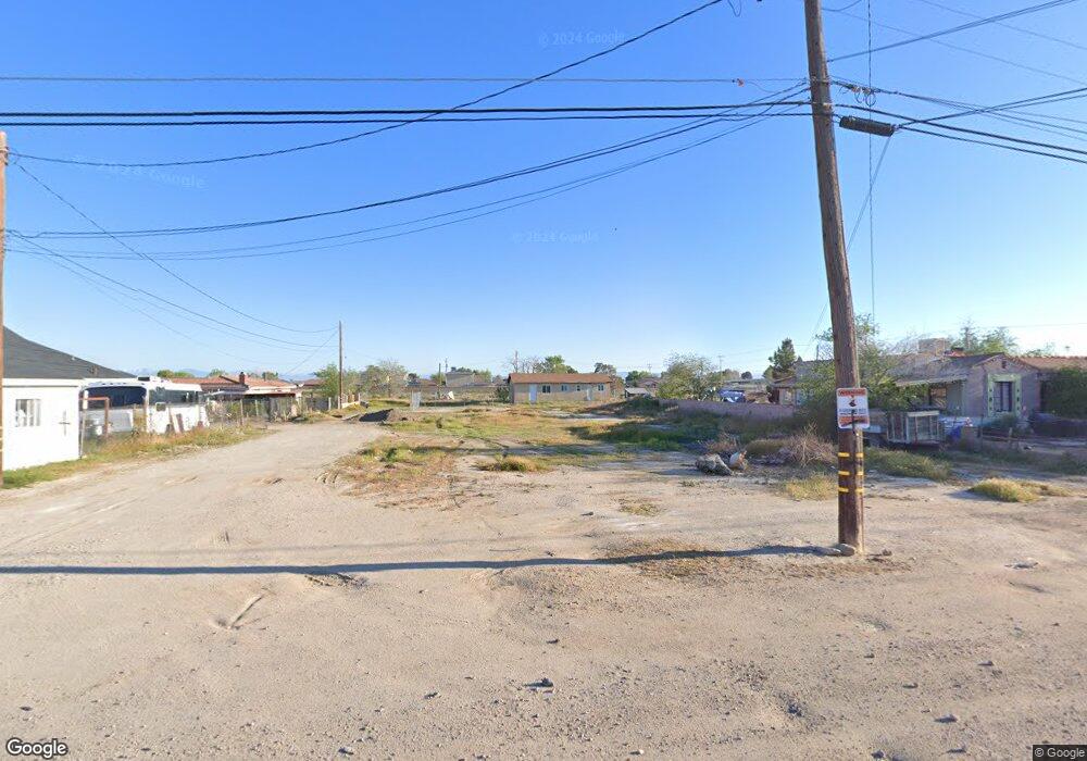
2081 Dixie Ave Rosamond, CA 93560
Estimated Value: $215,446 - $363,000
2
Beds
1
Bath
840
Sq Ft
$330/Sq Ft
Est. Value
About This Home
This home is located at 2081 Dixie Ave, Rosamond, CA 93560 and is currently estimated at $277,362, approximately $330 per square foot. 2081 Dixie Ave is a home.
Ownership History
Date
Name
Owned For
Owner Type
Purchase Details
Closed on
Nov 12, 2010
Sold by
Trosch Alexander
Bought by
Trosch Christian
Current Estimated Value
Purchase Details
Closed on
Oct 5, 1999
Sold by
Va
Bought by
Trosch Alexander M
Home Financials for this Owner
Home Financials are based on the most recent Mortgage that was taken out on this home.
Original Mortgage
$10,620
Interest Rate
7.86%
Purchase Details
Closed on
Apr 6, 1999
Sold by
Midfirst Bank
Bought by
Va
Purchase Details
Closed on
Apr 5, 1999
Sold by
Kenneth Edwards Hugh
Bought by
Midfirst Bank
Purchase Details
Closed on
Jan 19, 1998
Sold by
Watson C L
Bought by
Mcmullin Esther and Edwards Hugh Kenneth
Purchase Details
Closed on
Mar 27, 1997
Sold by
Esther Mcmullin
Bought by
Edwards Hugh Kenneth
Create a Home Valuation Report for This Property
The Home Valuation Report is an in-depth analysis detailing your home's value as well as a comparison with similar homes in the area
Home Values in the Area
Average Home Value in this Area
Purchase History
| Date | Buyer | Sale Price | Title Company |
|---|---|---|---|
| Trosch Christian | $14,000 | None Available | |
| Trosch Alexander M | $15,000 | Fidelity National Title | |
| Va | -- | Fidelity National Title Ins | |
| Midfirst Bank | $20,803 | Fidelity National Title Ins | |
| Mcmullin Esther | -- | -- | |
| Edwards Hugh Kenneth | -- | -- |
Source: Public Records
Mortgage History
| Date | Status | Borrower | Loan Amount |
|---|---|---|---|
| Previous Owner | Trosch Alexander M | $10,620 |
Source: Public Records
Tax History
| Year | Tax Paid | Tax Assessment Tax Assessment Total Assessment is a certain percentage of the fair market value that is determined by local assessors to be the total taxable value of land and additions on the property. | Land | Improvement |
|---|---|---|---|---|
| 2025 | $584 | $32,018 | $19,212 | $12,806 |
| 2024 | $573 | $31,391 | $18,836 | $12,555 |
| 2023 | $573 | $30,776 | $18,467 | $12,309 |
| 2022 | $556 | $30,173 | $18,105 | $12,068 |
| 2021 | $497 | $29,582 | $17,750 | $11,832 |
| 2020 | $467 | $29,279 | $17,568 | $11,711 |
| 2019 | $467 | $29,279 | $17,568 | $11,711 |
| 2018 | $456 | $28,144 | $16,887 | $11,257 |
| 2017 | $449 | $27,593 | $16,556 | $11,037 |
| 2016 | $433 | $27,053 | $16,232 | $10,821 |
| 2015 | $421 | $26,648 | $15,989 | $10,659 |
| 2014 | $387 | $26,127 | $15,676 | $10,451 |
Source: Public Records
Map
Nearby Homes
- 0 20th St W Unit DW25115758
- 0 20th St W Unit 25006308
- 2000 Windflow Dr Unit 76
- 2109 Windharp Dr Unit 34
- 2104 Windbreak Dr Unit 18
- 2117 Windbreak Dr Unit 12
- 2001 Westerly Dr Unit 77
- 2108 Westerly Dr Unit 93
- 2021 Buckwheat Ave
- 0 14 Hwy & Marie Ave Unit 17005895
- 1729 Jamie Way Unit 134
- 2071 Candice Ave
- 2309 Thistle St
- 1816 Orange St
- 2022 Elm St
- 2005 Markey Way Unit 16
- 2354 Crimson Ave
- 1550 20th St W Unit 55
- 1550 20th St W Unit 14
- 1550 20th St W Unit Spc 36
- 1964 El Rey St
- 1942 El Rey St
- 1932 El Rey St
- 1918 El Rey St
- 1953 Marie Ave Unit C
- 1953 Marie Ave
- 1933 Marie Ave Unit 1
- 1933 Marie Ave
- 1959 Marie Ave
- 1959 Marie St
- 2087 20th St W
- 1977 Marie St
- 1987 Marie St
- 1952 El Rey St
- 0 El Rey St Unit 9981346
- 0 El Rey St Unit 17005260
- 0 El Rey St Unit 17005255
- 0 El Rey St Unit 20003182
- 0 El Rey St Unit 21008629
- 0 El Rey St Unit SR20078633
