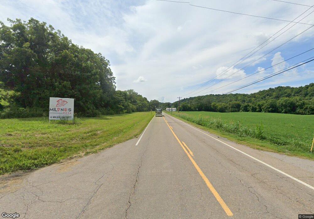
2081 E Highway 25 70 Dandridge, TN 37725
Estimated Value: $315,000 - $358,494
--
Bed
2
Baths
1,931
Sq Ft
$175/Sq Ft
Est. Value
About This Home
This home is located at 2081 E Highway 25 70, Dandridge, TN 37725 and is currently estimated at $338,624, approximately $175 per square foot. 2081 E Highway 25 70 is a home located in Jefferson County.
Ownership History
Date
Name
Owned For
Owner Type
Purchase Details
Closed on
May 7, 2024
Sold by
Barnett Carmine L
Bought by
Barnett Carmine L and Barnett Marcus Scott
Current Estimated Value
Purchase Details
Closed on
May 25, 2012
Sold by
Harrison Larry N
Bought by
Barnett Charles F and Barnett Carmine L
Home Financials for this Owner
Home Financials are based on the most recent Mortgage that was taken out on this home.
Original Mortgage
$109,890
Interest Rate
3.75%
Mortgage Type
FHA
Purchase Details
Closed on
Sep 4, 1987
Bought by
Hall Stone L E Larry N and Carolyn Ha
Purchase Details
Closed on
Jan 12, 1955
Bought by
Hall Stone and Hall Edna
Purchase Details
Closed on
Jan 14, 1932
Create a Home Valuation Report for This Property
The Home Valuation Report is an in-depth analysis detailing your home's value as well as a comparison with similar homes in the area
Home Values in the Area
Average Home Value in this Area
Purchase History
| Date | Buyer | Sale Price | Title Company |
|---|---|---|---|
| Barnett Carmine L | -- | None Listed On Document | |
| Barnett Charles F | $135,000 | -- | |
| Hall Stone L E Larry N | $15,000 | -- | |
| Hall Stone | -- | -- | |
| -- | -- | -- |
Source: Public Records
Mortgage History
| Date | Status | Borrower | Loan Amount |
|---|---|---|---|
| Previous Owner | Barnett Charles F | $109,890 | |
| Previous Owner | Not Available | $91,575 |
Source: Public Records
Tax History Compared to Growth
Tax History
| Year | Tax Paid | Tax Assessment Tax Assessment Total Assessment is a certain percentage of the fair market value that is determined by local assessors to be the total taxable value of land and additions on the property. | Land | Improvement |
|---|---|---|---|---|
| 2025 | $902 | $70,600 | $34,175 | $36,425 |
| 2023 | $902 | $39,225 | $0 | $0 |
| 2022 | $859 | $39,225 | $16,125 | $23,100 |
| 2021 | $859 | $39,225 | $16,125 | $23,100 |
| 2020 | $859 | $39,225 | $16,125 | $23,100 |
| 2019 | $859 | $39,225 | $16,125 | $23,100 |
| 2018 | $743 | $31,625 | $15,375 | $16,250 |
| 2017 | $743 | $31,625 | $15,375 | $16,250 |
| 2016 | $743 | $31,625 | $15,375 | $16,250 |
| 2015 | $743 | $31,625 | $15,375 | $16,250 |
| 2014 | $743 | $31,625 | $15,375 | $16,250 |
Source: Public Records
Map
Nearby Homes
- 1009 Old Newport Hwy
- 2943 Flicker Ln
- lot 5 Deerwood Dr & Sunset Harbor Dr
- Lot 69 Deerwood Dr
- Lot 5 Deerwood Dr
- Lot 70r Lakeside Ct
- 0 Sunset Harbor Dr Unit 1308337
- 630 Douglas Ridge Dr
- 102 Ridgeline Trail
- Lot 43 Sunset Harbor Dr
- Lot 92 Harbor Ridge Ln
- Lot 20 Plantation Point Dr
- 169 Plantation Point Dr
- 843 Clear Sail Way
- 1410 Clear Point Trail
- Lot 79 Harbor Ridge Ln
- Lot 72 Clear Point Trail
- Lot 74 Clear Point Trail
- 74 Clear Point Trail
- 455 Sunset Harbor Dr
- 2077 E Highway 25 70
- 2081 Highway
- 2082 E Highway 25 70
- 2065 E Highway 25 70
- 2068 E Highway 25 70
- 2056 E Highway 25 70
- 2056 E Highway 25-70
- 2929 Flicker Ln
- 2049 E Highway 25 70
- 2048 E Highway 25 70
- 2933 Flicker Ln
- 2042 E Highway 25 70
- 2928 Flicker Ln
- 1059 & lot Old Newport Highway Hwy
- 2937 Flicker Ln
- 1059 & lot Old Newport Hwy
- 1007 Old Newport Hwy
- 1053 Old Newport Hwy
- 1005 Old Newport Hwy
- 1059 Old Newport Hwy
