2081 Powers Ferry Trace SE Marietta, GA 30067
Powers Park NeighborhoodEstimated Value: $212,568 - $226,000
2
Beds
2
Baths
1,320
Sq Ft
$165/Sq Ft
Est. Value
About This Home
This home is located at 2081 Powers Ferry Trace SE, Marietta, GA 30067 and is currently estimated at $218,392, approximately $165 per square foot. 2081 Powers Ferry Trace SE is a home located in Cobb County with nearby schools including Marietta Sixth Grade Academy, Lockheed Elementary School, and Marietta Middle School.
Ownership History
Date
Name
Owned For
Owner Type
Purchase Details
Closed on
Sep 8, 2021
Sold by
West Mcknight Loretta
Bought by
Steel Robert Lee
Current Estimated Value
Home Financials for this Owner
Home Financials are based on the most recent Mortgage that was taken out on this home.
Original Mortgage
$124,000
Outstanding Balance
$112,585
Interest Rate
2.8%
Mortgage Type
New Conventional
Estimated Equity
$105,807
Create a Home Valuation Report for This Property
The Home Valuation Report is an in-depth analysis detailing your home's value as well as a comparison with similar homes in the area
Home Values in the Area
Average Home Value in this Area
Purchase History
| Date | Buyer | Sale Price | Title Company |
|---|---|---|---|
| Steel Robert Lee | $155,000 | Mcmanamy Mcleod Heller Llc |
Source: Public Records
Mortgage History
| Date | Status | Borrower | Loan Amount |
|---|---|---|---|
| Open | Steel Robert Lee | $124,000 |
Source: Public Records
Tax History Compared to Growth
Tax History
| Year | Tax Paid | Tax Assessment Tax Assessment Total Assessment is a certain percentage of the fair market value that is determined by local assessors to be the total taxable value of land and additions on the property. | Land | Improvement |
|---|---|---|---|---|
| 2025 | $417 | $91,776 | $34,000 | $57,776 |
| 2024 | $417 | $91,776 | $34,000 | $57,776 |
| 2023 | $265 | $91,776 | $34,000 | $57,776 |
| 2022 | $417 | $62,000 | $11,960 | $50,040 |
| 2021 | $509 | $59,292 | $12,000 | $47,292 |
| 2020 | $424 | $49,384 | $12,000 | $37,384 |
| 2019 | $424 | $49,384 | $12,000 | $37,384 |
| 2018 | $373 | $43,448 | $12,000 | $31,448 |
| 2017 | $241 | $34,992 | $8,000 | $26,992 |
| 2016 | $209 | $30,368 | $5,200 | $25,168 |
| 2015 | $180 | $23,960 | $4,000 | $19,960 |
| 2014 | $186 | $23,960 | $0 | $0 |
Source: Public Records
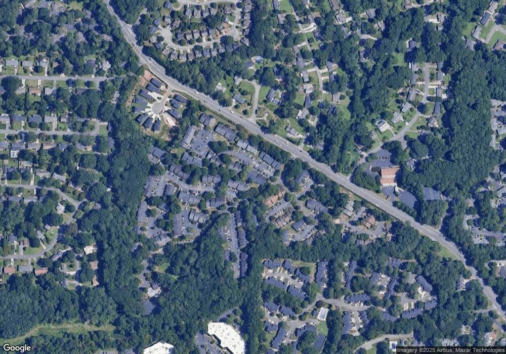
Map
Nearby Homes
- 2160 Palmyra Dr SE
- 2223 Runnymead Ridge SE
- 2240 Runnymead Ridge SE
- 708 Hanover Ln SE
- 2238 Surrey Ct SE
- 2471 Cedar Brook W
- 2484 Cedar Canyon Rd SE
- 2497 Cedar Canyon Place SE
- 2409 Powers Ferry Dr SE
- 830 Bonnie Glen Dr SE
- 2685 Meadowlawn Dr SE
- 558 Lullingstone Dr SE
- 2330 Trellis Ln SE
- 789 Gardenside Cir SE
- 2952 Chipmunk Trail SE
- 940 Bobcat Ct SE
- 935 Bobcat Ct SE
- 946 Bobcat Ct SE
- 2774 Birch Grove Ln SE Unit 11
- 2961 Hawk Ct SE
- 2077 Powers Ferry Trace SE Unit G
- 2083 Powers Ferry Trace SE
- 2087 Powers Ferry Trace SE
- 2073 Powers Ferry Trace SE
- 2095 Powers Ferry Trace SE
- 2091 Powers Ferry Trace SE Unit 2091
- 2085 Powers Ferry Trace SE
- 2204 Palmyra Dr SE
- 2200 Palmyra Dr SE
- 2196 Palmyra Dr SE
- 2192 Palmyra Dr SE
- 2190 Palmyra Dr SE
- 2188 Palmyra Dr SE
- 2184 Palmyra Dr SE
- 2192 Palmyra Dr SE
- 2204 Palmyra Dr SE Unit 2204
- 2194 Palmyra Dr SE
- 2194 Palmyra Dr SE Unit 2194
- 2057 Powers Ferry Rd SE
- 2057 Powers Ferry Trace SE