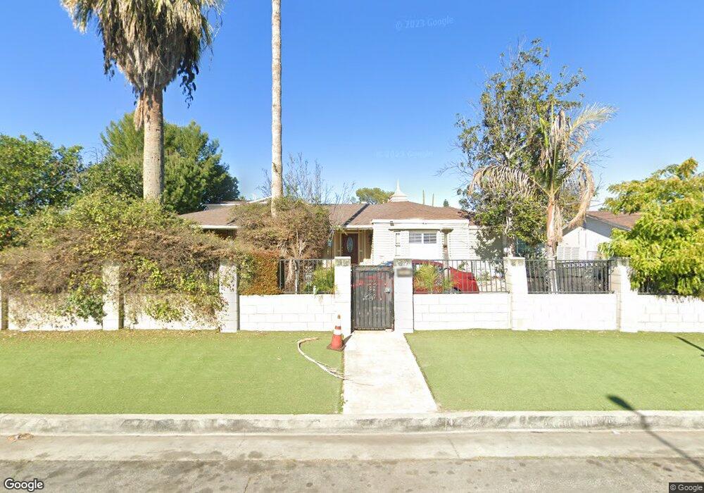
20811 Bryant St Winnetka, CA 91306
Estimated Value: $1,068,000 - $1,384,000
4
Beds
3
Baths
3,802
Sq Ft
$325/Sq Ft
Est. Value
About This Home
This home is located at 20811 Bryant St, Winnetka, CA 91306 and is currently estimated at $1,235,746, approximately $325 per square foot. 20811 Bryant St is a home located in Los Angeles County with nearby schools including Limerick Avenue Elementary School, Ernest Lawrence Middle School, and Citizens of the World West Valley.
Ownership History
Date
Name
Owned For
Owner Type
Purchase Details
Closed on
May 7, 2014
Sold by
Shaikh Zahir Zaki and Ahmad Shaheen
Bought by
Shaikh Zahir Zaki and Ahmad Shaheen
Current Estimated Value
Purchase Details
Closed on
Jun 8, 2009
Sold by
Willson Diana and The Mcelhannon Trust
Bought by
Shaikh Zahir Zaki and Ahmad Shaheen
Home Financials for this Owner
Home Financials are based on the most recent Mortgage that was taken out on this home.
Original Mortgage
$415,648
Interest Rate
5.37%
Mortgage Type
FHA
Create a Home Valuation Report for This Property
The Home Valuation Report is an in-depth analysis detailing your home's value as well as a comparison with similar homes in the area
Home Values in the Area
Average Home Value in this Area
Purchase History
| Date | Buyer | Sale Price | Title Company |
|---|---|---|---|
| Shaikh Zahir Zaki | -- | Old Republic Title Company | |
| Shaikh Zahir Zaki | $430,000 | Progressive Title Company |
Source: Public Records
Mortgage History
| Date | Status | Borrower | Loan Amount |
|---|---|---|---|
| Previous Owner | Shaikh Zahir Zaki | $415,648 |
Source: Public Records
Tax History
| Year | Tax Paid | Tax Assessment Tax Assessment Total Assessment is a certain percentage of the fair market value that is determined by local assessors to be the total taxable value of land and additions on the property. | Land | Improvement |
|---|---|---|---|---|
| 2025 | $10,371 | $808,357 | $350,321 | $458,036 |
| 2024 | $10,371 | $792,507 | $343,452 | $449,055 |
| 2023 | $7,309 | $545,978 | $336,718 | $209,260 |
| 2022 | $6,993 | $535,273 | $330,116 | $205,157 |
| 2021 | $6,902 | $524,779 | $323,644 | $201,135 |
| 2019 | $6,711 | $509,216 | $314,046 | $195,170 |
| 2018 | $6,382 | $499,233 | $307,889 | $191,344 |
| 2016 | $6,089 | $479,849 | $295,934 | $183,915 |
| 2015 | $6,004 | $529,560 | $298,740 | $230,820 |
| 2014 | $5,949 | $463,385 | $285,780 | $177,605 |
Source: Public Records
Map
Nearby Homes
- 8576 Kelvin Ave
- 20930 Parthenia St Unit 216
- 8710 Independence Ave Unit 307
- 8710 Independence Ave Unit 301
- 8514 Morningstar Ln
- 8801 Independence Ave Unit 11
- 20851 Community St Unit 10
- 21054 Parthenia St Unit 11
- 20730 Community St
- 20541 Rodax St
- 8353 Lurline Ave
- 8600 Mason Ave
- 20458 Malden St
- 8636 Delco Ave
- 20737 Roscoe Blvd Unit 704
- 8800 Eton Ave Unit 108
- 20651 Roscoe Blvd Unit L
- 8801 Eton Ave Unit 121
- 8801 Eton Ave Unit 132
- 8901 Eton Ave Unit 61
- 20803 Bryant St
- 20821 Bryant St
- 8623 Kelvin Ave
- 20810 Parthenia St
- 20831 Bryant St
- 8629 Kelvin Ave
- 20820 Parthenia St
- 8577 Kelvin Ave
- 20818 Bryant St
- 20822 Bryant St
- 20810 Bryant St
- 20826 Bryant St
- 20751 Bryant St
- 20830 Bryant St
- 20830 Bryant St
- 8635 Kelvin Ave
- 20834 Bryant St
- 8571 Kelvin Ave
- 8620 Kelvin Ave
- 20838 Bryant St
Your Personal Tour Guide
Ask me questions while you tour the home.