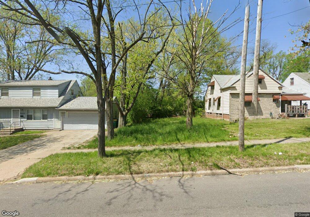
20813 Libby Rd Maple Heights, OH 44137
Estimated Value: $145,000
2
Beds
1
Bath
856
Sq Ft
$169/Sq Ft
Est. Value
About This Home
This home is located at 20813 Libby Rd, Maple Heights, OH 44137 and is currently priced at $145,000, approximately $169 per square foot. 20813 Libby Rd is a home located in Cuyahoga County with nearby schools including Abraham Lincoln Elementary School, Rockside/ J.F. Kennedy School, and Barack Obama School.
Ownership History
Date
Name
Owned For
Owner Type
Purchase Details
Closed on
Jun 24, 2020
Sold by
Cuyahoga County Land Reutilization Corp
Bought by
City Of Maple Heights Land Reutilization
Current Estimated Value
Purchase Details
Closed on
Jul 18, 2019
Sold by
Gurule Monica
Bought by
Cuyahoga County Land Reutilization Corp
Purchase Details
Closed on
May 24, 2019
Sold by
Iplangroup Agent
Bought by
Gurule Monica L
Purchase Details
Closed on
Jun 16, 2017
Sold by
Captial Courec Bank Fbo Aeon Financial L
Bought by
Suckey Helene
Purchase Details
Closed on
Apr 1, 1985
Sold by
Sukey Jos J and H E
Bought by
Sukey Joseph J
Purchase Details
Closed on
Jan 1, 1975
Bought by
Sukey Jos J and H E
Create a Home Valuation Report for This Property
The Home Valuation Report is an in-depth analysis detailing your home's value as well as a comparison with similar homes in the area
Home Values in the Area
Average Home Value in this Area
Purchase History
| Date | Buyer | Sale Price | Title Company |
|---|---|---|---|
| City Of Maple Heights Land Reutilization | -- | None Available | |
| Cuyahoga County Land Reutilization Corp | -- | None Available | |
| Gurule Monica L | -- | None Available | |
| Suckey Helene | $74,480 | None Available | |
| Sukey Joseph J | -- | -- | |
| Sukey Jos J | -- | -- |
Source: Public Records
Tax History
| Year | Tax Paid | Tax Assessment Tax Assessment Total Assessment is a certain percentage of the fair market value that is determined by local assessors to be the total taxable value of land and additions on the property. | Land | Improvement |
|---|---|---|---|---|
| 2024 | -- | $700 | $700 | -- |
| 2022 | $132 | $2,625 | $2,625 | $0 |
| 2021 | $132 | $2,630 | $2,630 | $0 |
| 2020 | $132 | $2,630 | $2,630 | $0 |
| 2019 | $2,058 | $7,500 | $7,500 | $0 |
| 2018 | $2,058 | $2,630 | $2,630 | $0 |
| 2017 | $7,731 | $2,420 | $2,420 | $0 |
| 2016 | $31,387 | $16,110 | $2,420 | $13,690 |
| 2015 | $23,977 | $16,110 | $2,420 | $13,690 |
| 2014 | $23,977 | $17,680 | $2,660 | $15,020 |
Source: Public Records
Map
Nearby Homes
- 21202 Gardenview Dr
- 20806 Clare Ave
- 20905 Clare Ave
- 21202 Hillgrove Ave
- 5147 Warrensville Center Rd
- 21607 Libby Rd
- 21207 Franklin Rd
- 20517 Raymond St
- 21600 Franklin Rd
- 20600 Watson Rd
- 20715 Watson Rd
- 21860 Louis Rd
- 20705 Hansen Rd
- 19289 Stafford Ave
- 19931 Raymond St
- 19520 Maple Heights Blvd
- 20648 Donny Brook Rd
- 19113 Watercrest Ave
- 5165 Camden Rd
- 5194 Homewood Ave
- 20817 Libby Rd
- 20903 Libby Rd
- 20807 Libby Rd
- 20708 Kenyon Dr
- 20712 Kenyon Dr
- 20907 Libby Rd
- 20704 Kenyon Dr
- 20802 Kenyon Dr
- 20911 Libby Rd
- 20700 Kenyon Dr
- 20806 Kenyon Dr
- 20915 Libby Rd
- 20908 Gardenview Dr
- 20810 Kenyon Dr
- 20919 Libby Rd
- 20912 Gardenview Dr
- 20916 Gardenview Dr
- 20814 Kenyon Dr
- 21003 Libby Rd
- 20709 Kenyon Dr
Your Personal Tour Guide
Ask me questions while you tour the home.