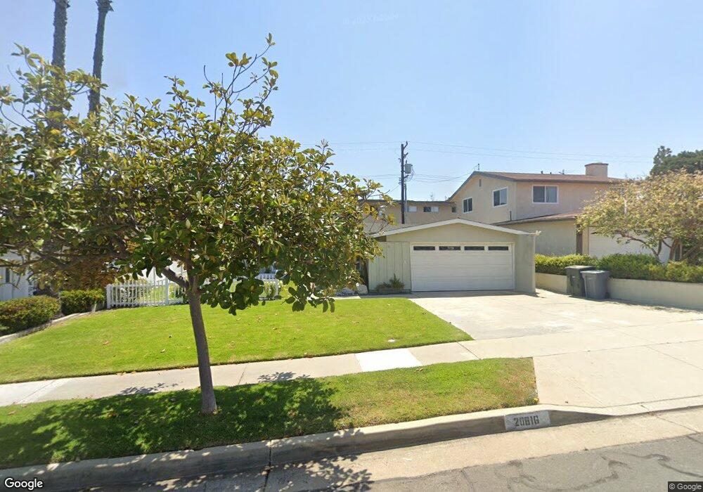
20816 Reynolds Dr Torrance, CA 90503
West Torrance NeighborhoodEstimated Value: $1,385,324 - $1,503,000
4
Beds
2
Baths
1,776
Sq Ft
$799/Sq Ft
Est. Value
About This Home
This home is located at 20816 Reynolds Dr, Torrance, CA 90503 and is currently estimated at $1,419,831, approximately $799 per square foot. 20816 Reynolds Dr is a home located in Los Angeles County with nearby schools including Victor Elementary School, Jefferson Middle School, and West High School.
Ownership History
Date
Name
Owned For
Owner Type
Purchase Details
Closed on
Jul 2, 2024
Sold by
Charroux Dolores A
Bought by
Dolores A Charroux Survivors Trust and Reed
Current Estimated Value
Purchase Details
Closed on
Dec 19, 2001
Sold by
Charroux Dolores A and Charroux E R
Bought by
Charroux Dolores A and R E Charroux Irrevocable Exemption Trust
Purchase Details
Closed on
Apr 30, 1996
Sold by
Charroux R E
Bought by
Charroux R E and Charrous Dolores A
Create a Home Valuation Report for This Property
The Home Valuation Report is an in-depth analysis detailing your home's value as well as a comparison with similar homes in the area
Home Values in the Area
Average Home Value in this Area
Purchase History
| Date | Buyer | Sale Price | Title Company |
|---|---|---|---|
| Dolores A Charroux Survivors Trust | -- | None Listed On Document | |
| Charroux Dolores A | -- | None Listed On Document | |
| Charroux Dolores A | -- | -- | |
| Charroux R E | -- | -- |
Source: Public Records
Tax History Compared to Growth
Tax History
| Year | Tax Paid | Tax Assessment Tax Assessment Total Assessment is a certain percentage of the fair market value that is determined by local assessors to be the total taxable value of land and additions on the property. | Land | Improvement |
|---|---|---|---|---|
| 2025 | $1,935 | $142,864 | $80,873 | $61,991 |
| 2024 | $1,935 | $140,064 | $79,288 | $60,776 |
| 2023 | $1,905 | $137,319 | $77,734 | $59,585 |
| 2022 | $1,879 | $134,627 | $76,210 | $58,417 |
| 2021 | $1,842 | $131,988 | $74,716 | $57,272 |
| 2019 | $1,792 | $128,074 | $72,500 | $55,574 |
| 2018 | $1,672 | $125,564 | $71,079 | $54,485 |
| 2016 | $1,579 | $120,690 | $68,320 | $52,370 |
| 2015 | $1,545 | $118,878 | $67,294 | $51,584 |
| 2014 | $1,517 | $116,550 | $65,976 | $50,574 |
Source: Public Records
Map
Nearby Homes
- 4814 Asteria St
- 4826 Maricopa St
- 4830 Maricopa St
- 4489 Spencer St Unit 224
- 20550 Earl St Unit 15
- 20520 Earl St Unit 14
- 20706 Mansel Ave
- 20614 Mansel Ave
- 20515 Palm Way
- 21513 Palos Verdes Blvd
- 21625 Bernice Ave
- 1200 Opal St Unit 7
- 1200 Opal St Unit 22
- 21345 Hawthorne Blvd Unit 217
- 21345 Hawthorne Blvd
- 5305 Wilma St
- 20017 Bernist Ave
- 4914 Halison St
- 110 N Prospect Ave
- 210 S Lucia Ave
- 20810 Reynolds Dr
- 20822 Reynolds Dr
- 20804 Reynolds Dr
- 20902 Reynolds Dr
- 4717 Asteria St
- 4720 Emerald St
- 20908 Reynolds Dr
- 4723 Asteria St
- 4720 Asteria St
- 4724 Emerald St
- 20914 Reynolds Dr
- 4729 Asteria St
- 4724 Asteria St
- 4730 Emerald St
- 4717 Maricopa St
- 4803 Asteria St
- 20920 Reynolds Dr
- 20909 Anza Ave
- 20909 Anza Ave
- 4804 Emerald St