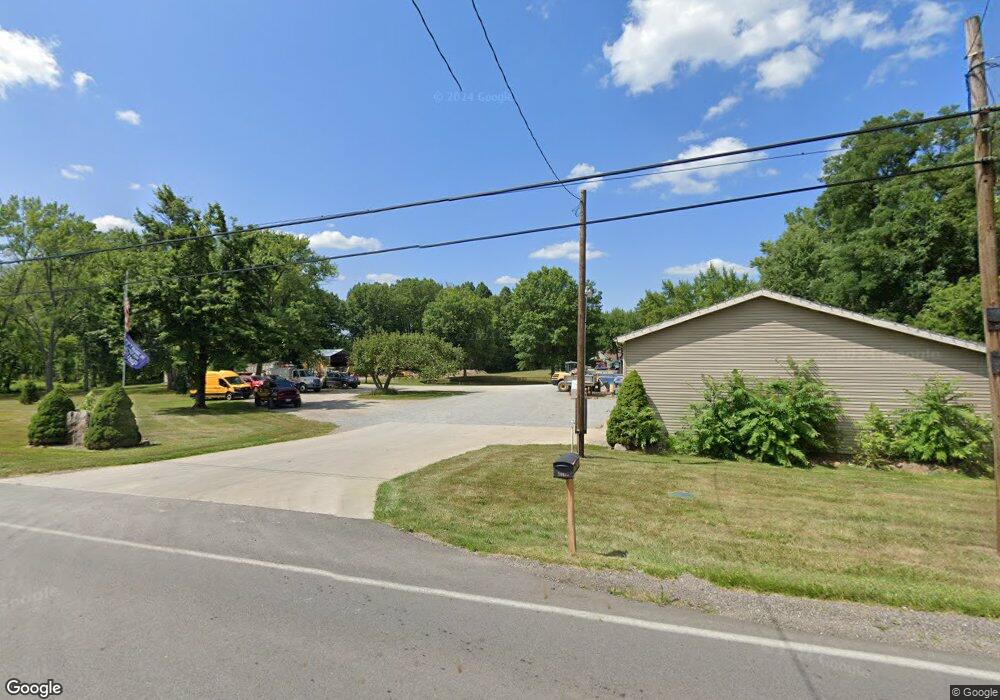
20827 Alliance Sebring Rd Alliance, OH 44601
Estimated Value: $196,000 - $355,000
3
Beds
2
Baths
2,528
Sq Ft
$108/Sq Ft
Est. Value
About This Home
This home is located at 20827 Alliance Sebring Rd, Alliance, OH 44601 and is currently estimated at $273,853, approximately $108 per square foot. 20827 Alliance Sebring Rd is a home with nearby schools including West Branch Middle School, West Branch Early Learning Center, and West Branch High School.
Ownership History
Date
Name
Owned For
Owner Type
Purchase Details
Closed on
Mar 24, 2015
Bought by
Teeters Arthur E Trustee
Current Estimated Value
Purchase Details
Closed on
May 3, 1989
Bought by
Teeters Arthur E
Create a Home Valuation Report for This Property
The Home Valuation Report is an in-depth analysis detailing your home's value as well as a comparison with similar homes in the area
Home Values in the Area
Average Home Value in this Area
Purchase History
| Date | Buyer | Sale Price | Title Company |
|---|---|---|---|
| Teeters Arthur E Trustee | -- | -- | |
| Teeters Arthur E | -- | -- |
Source: Public Records
Tax History Compared to Growth
Tax History
| Year | Tax Paid | Tax Assessment Tax Assessment Total Assessment is a certain percentage of the fair market value that is determined by local assessors to be the total taxable value of land and additions on the property. | Land | Improvement |
|---|---|---|---|---|
| 2024 | $1,873 | $61,340 | $11,310 | $50,030 |
| 2023 | $1,860 | $61,340 | $11,310 | $50,030 |
| 2022 | $1,520 | $47,070 | $8,320 | $38,750 |
| 2021 | $1,522 | $47,070 | $8,320 | $38,750 |
| 2020 | $1,528 | $47,070 | $8,320 | $38,750 |
| 2019 | $1,397 | $42,020 | $8,320 | $33,700 |
| 2018 | $1,391 | $42,020 | $8,320 | $33,700 |
| 2017 | $817 | $42,020 | $8,320 | $33,700 |
| 2016 | $1,233 | $38,460 | $7,160 | $31,300 |
| 2015 | $1,196 | $38,460 | $7,160 | $31,300 |
| 2014 | $1,203 | $38,460 | $7,160 | $31,300 |
| 2013 | $1,190 | $38,460 | $7,160 | $31,300 |
Source: Public Records
Map
Nearby Homes
- 1235 Elm St
- 1046 W Ohio Ave
- 11511 N Johnson Rd
- 576 W Ohio Ave
- 495 W Texas Ave
- 466 W Maryland Ave
- 0 W Maryland Ave
- 406 W Indiana Ave
- 325 W Maryland Ave
- 286 W Maryland Ave
- 0 16th St Unit 5159092
- 324 S 15th St
- 154 W Nevada Ave Unit 154
- 157 E Ohio Ave
- 24893 Us-62
- 0 W Nevada Ave Unit 5159074
- 245 E Maryland Ave
- 345 E Indiana Ave
- 1005 N 13th St
- 726 N 12th St
- 20655 Addie Dr
- 20687 Alliance Sebring Rd
- 20769 Alliance Sebring Rd
- 20799 Alliance Sebring Rd
- 1296 Elm St
- 20745 Alliance Sebring Rd
- 20875 Alliance-Sebring Rd
- 20839 Alliance Sebring Rd
- 13586 Tombaugh Ave
- 20855 Alliance Sebring Rd
- 20697 Alliance Sebring Rd
- 1276 Elm St
- 20889 Alliance-Sebring Rd
- 13576 Tombaugh Ave
- 13566 Tombaugh Ave
- 20911 Alliance-Sebring Rd
- 1256 Elm St
- 20659 Alliance Sebring Rd
- 20774 Alliance Sebring Rd
- 20699 Elm St