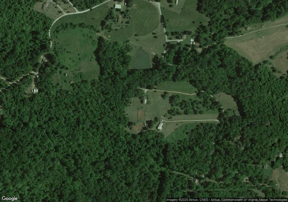
2083 High Peak Rd Monroe, VA 24574
Estimated Value: $377,000 - $517,000
3
Beds
2
Baths
2,228
Sq Ft
$204/Sq Ft
Est. Value
About This Home
This home is located at 2083 High Peak Rd, Monroe, VA 24574 and is currently estimated at $454,186, approximately $203 per square foot. 2083 High Peak Rd is a home located in Amherst County with nearby schools including Amherst Elementary School, Amherst Middle School, and Amherst County High School.
Ownership History
Date
Name
Owned For
Owner Type
Purchase Details
Closed on
Sep 12, 2022
Sold by
West John D
Bought by
West John D and West Michelle Leigh
Current Estimated Value
Create a Home Valuation Report for This Property
The Home Valuation Report is an in-depth analysis detailing your home's value as well as a comparison with similar homes in the area
Purchase History
| Date | Buyer | Sale Price | Title Company |
|---|---|---|---|
| West John D | -- | None Listed On Document | |
| West John D | -- | None Listed On Document |
Source: Public Records
Tax History Compared to Growth
Tax History
| Year | Tax Paid | Tax Assessment Tax Assessment Total Assessment is a certain percentage of the fair market value that is determined by local assessors to be the total taxable value of land and additions on the property. | Land | Improvement |
|---|---|---|---|---|
| 2025 | $1,797 | $275,800 | $56,300 | $219,500 |
| 2024 | $1,682 | $275,800 | $56,300 | $219,500 |
| 2023 | $1,682 | $275,800 | $56,300 | $219,500 |
| 2022 | $1,714 | $281,000 | $61,500 | $219,500 |
| 2021 | $1,714 | $281,000 | $61,500 | $219,500 |
| 2020 | $1,714 | $281,000 | $61,500 | $219,500 |
| 2019 | $1,676 | $274,700 | $67,500 | $207,200 |
| 2018 | $1,676 | $274,700 | $67,500 | $207,200 |
| 2017 | $1,553 | $274,700 | $67,500 | $207,200 |
| 2016 | $1,676 | $274,700 | $67,500 | $207,200 |
| 2015 | $1,538 | $274,700 | $67,500 | $207,200 |
| 2014 | $1,538 | $274,700 | $67,500 | $207,200 |
Source: Public Records
Map
Nearby Homes
- 2294 High Peak Rd
- 139 Indigo Ridge
- 447 Matohe Rd
- 166 Matohe Rd
- 0 Wares Gap Rd Unit 351733
- 185 Wild Rose Ln
- 371 Hawks Nest Rd
- 150 Terrapin Station Ln
- 12 Gun Mountain Dr
- 225 Opus Ln Unit 1 of 5 See Map
- 0 Lavender Ln
- 65-Acres Lavender Ln
- 0 Crawford's Hill Place
- 144 Manse Rd
- 700 Cloudcroft Dr
- 1765 Winesap Rd
- 893 Cedar Gate Rd
- 2229 Cedar Gate Rd
- 839 Cedar Gate Rd
- 166 Serenity Ln
- 0 High Peak Rd Unit 508481
- 0 High Peak Rd Unit 265600
- 0 High Peak Rd Unit 277659
- 2027 High Peak Rd
- 2156 High Peak Rd
- 135 High Peak Orchard Dr
- 2190 High Peak Rd
- 2050 High Peak Rd
- 2181 High Peak Rd
- 1999 High Peak Rd
- 2138 High Peak Rd
- 227 High Peak Orchard Dr
- 2004 High Peak Rd
- 180 High Peak Orchard Dr
- 2248 High Peak Rd
- 2245 High Peak Rd
- 1962 High Peak Rd
- 2270 High Peak Rd
- 257 High Peak Orchard Dr
- 159 Apple Grove Rd
