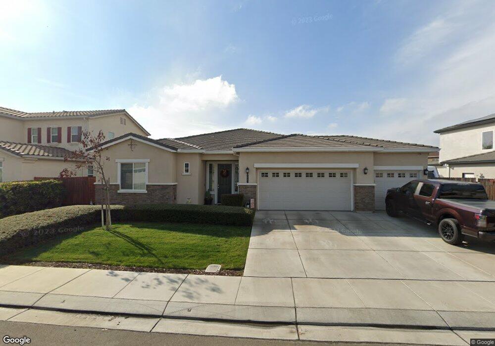
2083 Macedo St Manteca, CA 95337
Estimated Value: $692,000 - $742,000
3
Beds
3
Baths
2,266
Sq Ft
$318/Sq Ft
Est. Value
About This Home
This home is located at 2083 Macedo St, Manteca, CA 95337 and is currently estimated at $720,381, approximately $317 per square foot. 2083 Macedo St is a home with nearby schools including Nile Garden Elementary School and Sierra High School.
Ownership History
Date
Name
Owned For
Owner Type
Purchase Details
Closed on
Aug 13, 2023
Sold by
Brandi Robert A and Brandi Christine
Bought by
Brandi Family Trust and Brandi
Current Estimated Value
Purchase Details
Closed on
May 9, 2017
Sold by
Oleander Lp
Bought by
Brandi Robert A and Brandi Christine
Home Financials for this Owner
Home Financials are based on the most recent Mortgage that was taken out on this home.
Original Mortgage
$378,151
Interest Rate
4.08%
Mortgage Type
New Conventional
Create a Home Valuation Report for This Property
The Home Valuation Report is an in-depth analysis detailing your home's value as well as a comparison with similar homes in the area
Home Values in the Area
Average Home Value in this Area
Purchase History
| Date | Buyer | Sale Price | Title Company |
|---|---|---|---|
| Brandi Family Trust | -- | None Listed On Document | |
| Brandi Robert A | $473,000 | Placer Title Company |
Source: Public Records
Mortgage History
| Date | Status | Borrower | Loan Amount |
|---|---|---|---|
| Previous Owner | Brandi Robert A | $378,151 |
Source: Public Records
Tax History Compared to Growth
Tax History
| Year | Tax Paid | Tax Assessment Tax Assessment Total Assessment is a certain percentage of the fair market value that is determined by local assessors to be the total taxable value of land and additions on the property. | Land | Improvement |
|---|---|---|---|---|
| 2025 | $6,713 | $582,722 | $192,073 | $390,649 |
| 2024 | $6,534 | $571,297 | $188,307 | $382,990 |
| 2023 | $6,390 | $560,096 | $184,615 | $375,481 |
| 2022 | $6,270 | $549,115 | $180,996 | $368,119 |
| 2021 | $6,191 | $538,349 | $177,448 | $360,901 |
| 2020 | $5,949 | $532,830 | $175,629 | $357,201 |
| 2019 | $5,864 | $522,384 | $172,186 | $350,198 |
| 2018 | $5,469 | $482,142 | $168,810 | $313,332 |
| 2017 | $957 | $66,800 | $66,800 | $0 |
| 2016 | $640 | $40,000 | $40,000 | $0 |
Source: Public Records
Map
Nearby Homes
- 1877 Lateral Ave
- 2178 Al Fonseca Ln
- 1232 Nabih Hamdan Ct
- 1770 Ettle St
- 1204 Nabih Hamdan Ct
- 20109 S Union Rd
- 1630 Red Ribbons Ln
- 1602 Oleander Ave
- 1903 Lovejoy Ave
- 1818 Lovejoy Ave
- 1887 Lovejoy Ave
- 1852 Lovejoy Ave
- 1836 Lovejoy Ave
- 1090 Lavender St
- 1980 Carogold Ln
- 1957 W Woodward Ave
- 2409 Emma Dr
- 396 Postma St
- 1565 Blue Lupine Ln
- 778 Collins St
- 2089 Macedo St
- 2077 Macedo St
- 2094 Brocchini Ln
- 2095 Macedo St
- 2086 Brocchini Ln
- 2102 Brocchini Ln
- 2065 Macedo St
- 2086 Macedo St
- 2080 Macedo St
- 2078 Brocchini Ln
- 2092 Macedo St
- 2101 Macedo St
- 2072 Macedo St
- 2098 Macedo St
- 2110 Brocchini Ln
- 2059 Macedo St
- 2074 Brocchini Ln
- 2107 Macedo St
- 2104 Macedo St
- 2083 Brocchini Ln