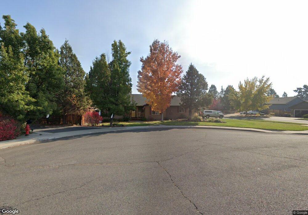
20840 Cassin Dr Bend, OR 97701
Boyd Acres NeighborhoodEstimated Value: $592,362 - $664,000
3
Beds
2
Baths
1,687
Sq Ft
$374/Sq Ft
Est. Value
About This Home
This home is located at 20840 Cassin Dr, Bend, OR 97701 and is currently estimated at $630,841, approximately $373 per square foot. 20840 Cassin Dr is a home located in Deschutes County with nearby schools including Lava Ridge Elementary School, Sky View Middle School, and Mountain View Senior High School.
Ownership History
Date
Name
Owned For
Owner Type
Purchase Details
Closed on
Mar 28, 2006
Sold by
Myhre Jeanie M
Bought by
Myhre Jeanie M and Myhre Theodore A
Current Estimated Value
Home Financials for this Owner
Home Financials are based on the most recent Mortgage that was taken out on this home.
Original Mortgage
$252,000
Outstanding Balance
$140,661
Interest Rate
6.25%
Mortgage Type
New Conventional
Estimated Equity
$490,180
Purchase Details
Closed on
Jul 13, 2004
Sold by
Grau Louis William and Grau Joyce Kay
Bought by
Myhre Jeanie M
Home Financials for this Owner
Home Financials are based on the most recent Mortgage that was taken out on this home.
Original Mortgage
$183,920
Interest Rate
6.27%
Mortgage Type
Unknown
Create a Home Valuation Report for This Property
The Home Valuation Report is an in-depth analysis detailing your home's value as well as a comparison with similar homes in the area
Home Values in the Area
Average Home Value in this Area
Purchase History
| Date | Buyer | Sale Price | Title Company |
|---|---|---|---|
| Myhre Jeanie M | -- | First Amer Title Ins Co Or | |
| Myhre Jeanie M | $229,900 | Western Title & Escrow Co |
Source: Public Records
Mortgage History
| Date | Status | Borrower | Loan Amount |
|---|---|---|---|
| Open | Myhre Jeanie M | $252,000 | |
| Closed | Myhre Jeanie M | $183,920 |
Source: Public Records
Tax History
| Year | Tax Paid | Tax Assessment Tax Assessment Total Assessment is a certain percentage of the fair market value that is determined by local assessors to be the total taxable value of land and additions on the property. | Land | Improvement |
|---|---|---|---|---|
| 2025 | $4,320 | $255,690 | -- | -- |
| 2024 | $4,157 | $248,250 | -- | -- |
| 2023 | $3,853 | $241,020 | $0 | $0 |
| 2022 | $3,595 | $227,190 | $0 | $0 |
| 2021 | $3,600 | $220,580 | $0 | $0 |
| 2020 | $3,416 | $220,580 | $0 | $0 |
| 2019 | $3,321 | $214,160 | $0 | $0 |
| 2018 | $3,227 | $207,930 | $0 | $0 |
| 2017 | $3,132 | $201,880 | $0 | $0 |
| 2016 | $2,987 | $196,000 | $0 | $0 |
| 2015 | $2,905 | $190,300 | $0 | $0 |
| 2014 | $2,819 | $184,760 | $0 | $0 |
Source: Public Records
Map
Nearby Homes
- 20810 Cassin Dr
- 20786 NE Comet Ln
- 20745 NE Comet Ln
- 20972 NE High Desert Ln
- 20760 NE Smoke Stack Ln
- 20779 Boulderfield Ave
- 63169 NE Hadley Place
- 20677 NE Comet Ct
- 63153 NE Hadley Place
- 63249 Peale St
- 20695 Town Dr Unit LOT 81
- 20695 Town Dr
- 63206 Carly Ln
- 63214 Carly Ln
- 63218 Carly Ln
- 63226 Carly Ln
- 63190 Carly Ln
- 63150 Peale St
- 63217 Carly Ln
- 63197 Carly Ln
Your Personal Tour Guide
Ask me questions while you tour the home.