20845 County Road H50 West Unity, OH 43570
Estimated Value: $269,000 - $342,507
5
Beds
3
Baths
2,569
Sq Ft
$121/Sq Ft
Est. Value
About This Home
This home is located at 20845 County Road H50, West Unity, OH 43570 and is currently estimated at $309,877, approximately $120 per square foot. 20845 County Road H50 is a home located in Williams County with nearby schools including Stryker Elementary School and Stryker High School.
Ownership History
Date
Name
Owned For
Owner Type
Purchase Details
Closed on
Nov 1, 2021
Sold by
Brock Kenneth R and Brock Melissa K
Bought by
Cargle Michael and Emmons Adrienne
Current Estimated Value
Home Financials for this Owner
Home Financials are based on the most recent Mortgage that was taken out on this home.
Original Mortgage
$214,400
Outstanding Balance
$195,513
Interest Rate
2.8%
Mortgage Type
FHA
Estimated Equity
$114,364
Purchase Details
Closed on
Sep 30, 2021
Sold by
Brock Kenneth R and Brock Melissa K
Bought by
Cargle Michael and Emmons Adrienne
Home Financials for this Owner
Home Financials are based on the most recent Mortgage that was taken out on this home.
Original Mortgage
$214,400
Outstanding Balance
$195,513
Interest Rate
2.8%
Mortgage Type
FHA
Estimated Equity
$114,364
Purchase Details
Closed on
Mar 22, 2013
Sold by
First Federal Bank Of The Midwest
Bought by
Brock Kenneth R and Brock Melissa K
Purchase Details
Closed on
Jun 8, 2004
Bought by
First Federal Bank Of The Midwest Truste
Create a Home Valuation Report for This Property
The Home Valuation Report is an in-depth analysis detailing your home's value as well as a comparison with similar homes in the area
Home Values in the Area
Average Home Value in this Area
Purchase History
| Date | Buyer | Sale Price | Title Company |
|---|---|---|---|
| Cargle Michael | $20,200 | Title Assurance Group Ltd | |
| Cargle Michael | $268,000 | None Available | |
| Brock Kenneth R | -- | None Available | |
| First Federal Bank Of The Midwest Truste | $160,000 | -- |
Source: Public Records
Mortgage History
| Date | Status | Borrower | Loan Amount |
|---|---|---|---|
| Open | Cargle Michael | $214,400 |
Source: Public Records
Tax History Compared to Growth
Tax History
| Year | Tax Paid | Tax Assessment Tax Assessment Total Assessment is a certain percentage of the fair market value that is determined by local assessors to be the total taxable value of land and additions on the property. | Land | Improvement |
|---|---|---|---|---|
| 2024 | $3,636 | $90,450 | $16,630 | $73,820 |
| 2023 | $3,636 | $71,760 | $14,670 | $57,090 |
| 2022 | $3,205 | $71,760 | $14,670 | $57,090 |
| 2021 | $3,203 | $71,760 | $14,670 | $57,090 |
| 2020 | $2,845 | $59,930 | $12,360 | $47,570 |
| 2019 | $2,806 | $59,930 | $12,360 | $47,570 |
| 2018 | $2,806 | $59,930 | $12,360 | $47,570 |
| 2017 | $2,622 | $56,390 | $10,610 | $45,780 |
| 2016 | $2,534 | $56,390 | $10,610 | $45,780 |
| 2015 | $2,442 | $56,390 | $10,610 | $45,780 |
| 2014 | $2,442 | $51,250 | $9,630 | $41,620 |
| 2013 | $2,519 | $51,250 | $9,630 | $41,620 |
Source: Public Records
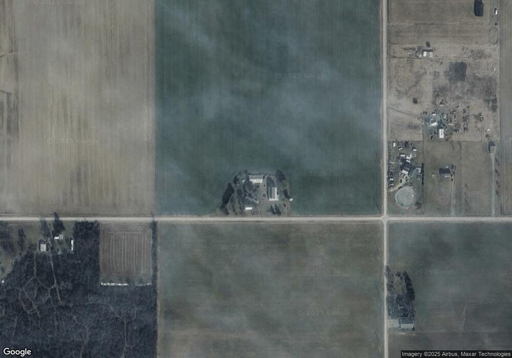
Map
Nearby Homes
- 305 W Mulberry St
- 301 Horton St
- 22018 County Road F
- 340 S Main St
- 3063 County Road 26-2
- 18 Cobblestone Rd
- 5065 County Road 20-50
- 000 W Jackson
- 205 Taylor Dr
- 0 County Road F
- 311 W Rings St
- 22227 Us Highway 20a
- 4532 County Road 19
- 0 County Road 18
- 18097 State Route 34
- 17738 County Rd E
- 24218 State Route 2
- 222 Lakeview Dr
- 229 Lakeview Dr
- 107 Shaffer Blvd
- 20845 County Road H-50
- 0 County Road H-50
- 20845 Co Rd H-50
- 08520 County Road 21
- 8520 County Road 21
- 8520 21st Rd
- 8412 County Road 21
- 8712 County Road 21
- 0 County Road 21
- 21220 County Road B50
- 8846 County Road 21
- 1 B Co Rd H-50
- 1 A Co Rd H-50
- 2 A Co Rd H-50
- 8943 County Road 21
- 8975 County Road 21
- 21227 County Road H
- 9015 County Road 21
- 9015 County Road 21
- 21377 County Road H50