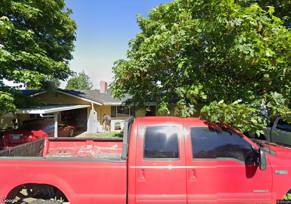
2085 Dewey St Eugene, OR 97402
Bethel NeighborhoodEstimated Value: $409,918 - $510,000
4
Beds
2
Baths
1,936
Sq Ft
$236/Sq Ft
Est. Value
About This Home
This home is located at 2085 Dewey St, Eugene, OR 97402 and is currently estimated at $456,730, approximately $235 per square foot. 2085 Dewey St is a home located in Lane County with nearby schools including Clear Lake Elementary School, Shasta Middle School, and Willamette High School.
Ownership History
Date
Name
Owned For
Owner Type
Purchase Details
Closed on
Nov 29, 2016
Sold by
Hought Constance W
Bought by
Willie Robert G and Blankenship Christine D
Current Estimated Value
Home Financials for this Owner
Home Financials are based on the most recent Mortgage that was taken out on this home.
Original Mortgage
$228,681
Outstanding Balance
$182,805
Interest Rate
3.37%
Mortgage Type
FHA
Estimated Equity
$273,925
Create a Home Valuation Report for This Property
The Home Valuation Report is an in-depth analysis detailing your home's value as well as a comparison with similar homes in the area
Home Values in the Area
Average Home Value in this Area
Purchase History
| Date | Buyer | Sale Price | Title Company |
|---|---|---|---|
| Willie Robert G | $232,900 | Western Title & Escrow Co |
Source: Public Records
Mortgage History
| Date | Status | Borrower | Loan Amount |
|---|---|---|---|
| Open | Willie Robert G | $228,681 |
Source: Public Records
Tax History
| Year | Tax Paid | Tax Assessment Tax Assessment Total Assessment is a certain percentage of the fair market value that is determined by local assessors to be the total taxable value of land and additions on the property. | Land | Improvement |
|---|---|---|---|---|
| 2025 | $3,595 | $206,673 | -- | -- |
| 2024 | $3,504 | $200,654 | -- | -- |
| 2023 | $3,504 | $194,810 | $0 | $0 |
| 2022 | $3,262 | $189,136 | $0 | $0 |
| 2021 | $3,193 | $183,628 | $0 | $0 |
| 2020 | $3,100 | $178,280 | $0 | $0 |
| 2019 | $2,948 | $173,088 | $0 | $0 |
| 2018 | $2,865 | $163,152 | $0 | $0 |
| 2017 | $2,738 | $163,152 | $0 | $0 |
| 2016 | $2,329 | $158,400 | $0 | $0 |
| 2015 | $2,283 | $153,786 | $0 | $0 |
| 2014 | $2,248 | $149,307 | $0 | $0 |
Source: Public Records
Map
Nearby Homes
- 2055 Devos St
- 0 E Irwin Way
- 2093 W Irwin Way
- 2382 E Irwin Way
- 4800 Barger Dr Unit 60
- 2544 Rosebay St
- 1400 Candlelight Dr Unit 162
- 1400 Candlelight Dr Unit 208
- 1400 Candlelight Dr
- 1400 Candlelight Dr Unit 226
- 1699 N Terry St Unit 89
- 1699 N Terry St Unit 272
- 1562 Philip St
- 4554 Woodsboro St
- 5320 Burke St
- 5276 Olympic Cir
- 4548 Cambon St
- 1915 Heitzman Way
- 5282 Sugarpine Cir
- 4070 Barger Dr
- 2087 Dewey St
- 4684 Burnett Ave
- 4687 Leona Ct
- 4675 Leona Ct
- 4689 Burnett Ave
- 2090 Dewey St
- 4668 Burnett Ave
- 4663 Leona Ct
- 2078 Dewey St
- 2104 Dewey St
- 4683 Burnett Ave
- 4728 Burnett Ave
- 2111 Dewey St
- 2060 Dewey St
- 4725 Burnett Ave
- 2110 N Danebo Ave
- 4646 Burnett Ave
- 4651 Leona Ct
- 2083 Dewey St
- 4765 Burnett Ave
Your Personal Tour Guide
Ask me questions while you tour the home.