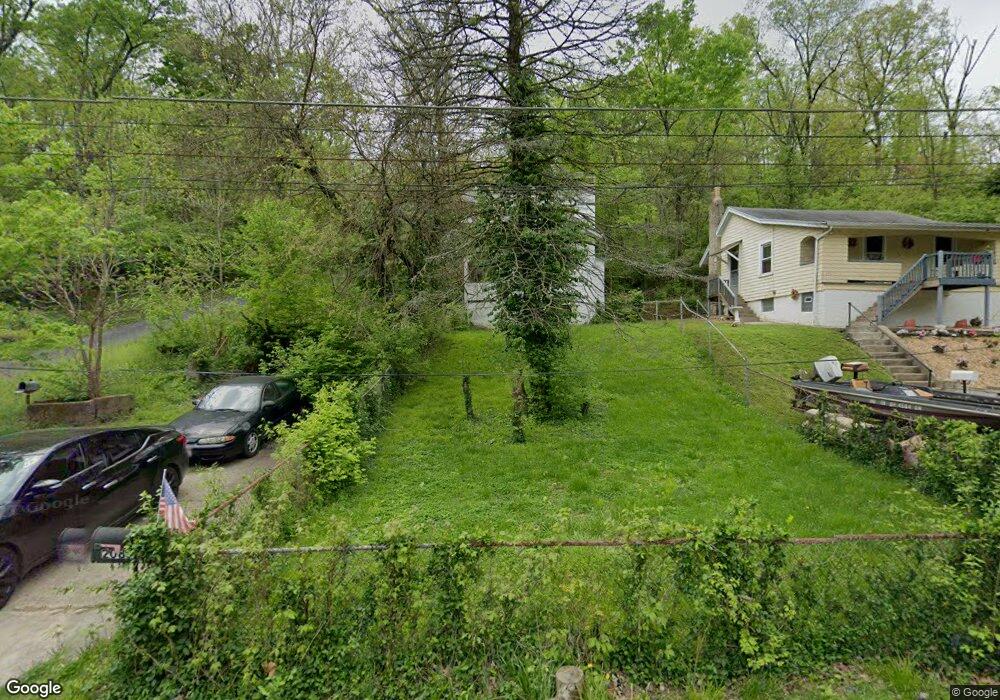
2085 Harkness St Cincinnati, OH 45225
East Westwood NeighborhoodEstimated Value: $76,000 - $99,000
2
Beds
2
Baths
997
Sq Ft
$84/Sq Ft
Est. Value
About This Home
This home is located at 2085 Harkness St, Cincinnati, OH 45225 and is currently estimated at $83,907, approximately $84 per square foot. 2085 Harkness St is a home located in Hamilton County with nearby schools including Western Hills High School, Gilbert A. Dater High School, and Robert A. Taft Information Technology High School.
Ownership History
Date
Name
Owned For
Owner Type
Purchase Details
Closed on
Nov 30, 2005
Sold by
Lsf Ravenwood Llc
Bought by
Ravenwood Apartments Llc
Current Estimated Value
Purchase Details
Closed on
Sep 10, 2002
Sold by
Mounce Geoffrey C and Mounce Teresa M
Bought by
Ellis Roderick
Home Financials for this Owner
Home Financials are based on the most recent Mortgage that was taken out on this home.
Original Mortgage
$53,900
Interest Rate
6.54%
Purchase Details
Closed on
Aug 10, 1994
Sold by
Harnist Kenneth
Bought by
Mounce Geoffrey C and Mounce Teresa M
Home Financials for this Owner
Home Financials are based on the most recent Mortgage that was taken out on this home.
Original Mortgage
$36,688
Interest Rate
8.62%
Create a Home Valuation Report for This Property
The Home Valuation Report is an in-depth analysis detailing your home's value as well as a comparison with similar homes in the area
Home Values in the Area
Average Home Value in this Area
Purchase History
| Date | Buyer | Sale Price | Title Company |
|---|---|---|---|
| Ravenwood Apartments Llc | -- | None Available | |
| Ellis Roderick | $53,900 | Ticor Title Insurance Compan | |
| Mounce Geoffrey C | -- | -- |
Source: Public Records
Mortgage History
| Date | Status | Borrower | Loan Amount |
|---|---|---|---|
| Previous Owner | Ellis Roderick | $53,900 | |
| Previous Owner | Mounce Geoffrey C | $36,688 |
Source: Public Records
Tax History
| Year | Tax Paid | Tax Assessment Tax Assessment Total Assessment is a certain percentage of the fair market value that is determined by local assessors to be the total taxable value of land and additions on the property. | Land | Improvement |
|---|---|---|---|---|
| 2025 | $504 | $7,456 | $1,250 | $6,206 |
| 2024 | $503 | $7,456 | $1,250 | $6,206 |
| 2023 | $486 | $7,456 | $1,250 | $6,206 |
| 2022 | $252 | $3,241 | $882 | $2,359 |
| 2021 | $233 | $3,241 | $882 | $2,359 |
| 2020 | $240 | $3,241 | $882 | $2,359 |
| 2019 | $366 | $4,677 | $858 | $3,819 |
| 2018 | $367 | $4,677 | $858 | $3,819 |
| 2017 | $347 | $4,677 | $858 | $3,819 |
| 2016 | $419 | $5,628 | $1,568 | $4,060 |
| 2015 | $380 | $5,628 | $1,568 | $4,060 |
| 2014 | $383 | $5,628 | $1,568 | $4,060 |
| 2013 | $570 | $8,400 | $2,338 | $6,062 |
Source: Public Records
Map
Nearby Homes
- 2163 Baltimore Ave
- 2183 Westwood Northern Blvd
- 3384 Ninann Ct
- 1970 Westwood Northern Blvd
- 1965 Baltimore Ave
- 3295 Fyffe Ave
- 2085 N Teralta Cir
- 2043 E Teralta Cir
- 3312 Mchenry Ave
- 3521 Mchenry Ave
- 3519 Mchenry Ave
- 2352 Iroll Ave
- 2114 Saint Leo Place
- 2962 Aquadale Ln
- 1808 Carll St
- 2424 Westwood Northern Blvd
- 3041 Westknolls Ln
- 1797 Denham St
- 2082 Harrison Ave
- 2065 Harrison Ave
- 2087 Harkness St
- 2081 Harkness St
- 2087 Baltimore Ave
- 2082 Harkness St
- 2079 Harkness St
- 2090 Harkness St
- 2081 Baltimore Ave
- 2083 Harkness St
- 2079 Baltimore Ave
- 2077 Harkness St
- 2080 Harkness St
- 2093 Baltimore Ave
- 2095 Harkness St
- 2135 Baltimore Ave
- 2088 Baltimore Ave
- 2082 Baltimore Ave
- 2092 Baltimore Ave
- 2094 Baltimore Ave
- 2137 Baltimore Ave
- 2032 Yoast Ave
Your Personal Tour Guide
Ask me questions while you tour the home.