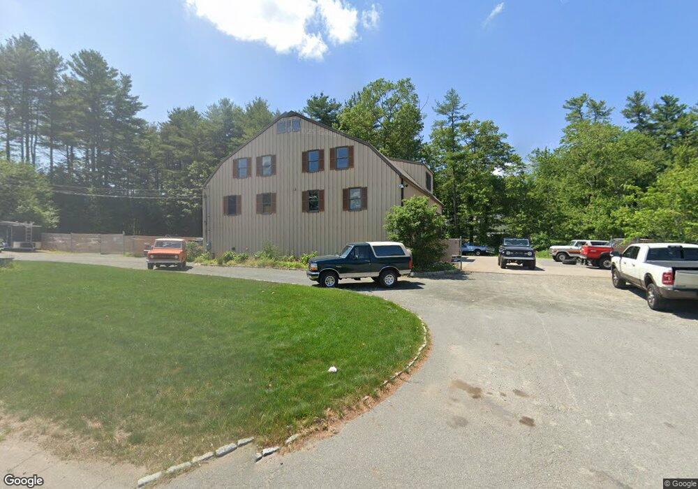
2085 Main St Walpole, MA 02081
Estimated Value: $1,452,627
Studio
--
Bath
5,250
Sq Ft
$277/Sq Ft
Est. Value
About This Home
This home is located at 2085 Main St, Walpole, MA 02081 and is currently estimated at $1,452,627, approximately $276 per square foot. 2085 Main St is a home located in Norfolk County with nearby schools including Elm Street School, Eleanor N. Johnson Middle School, and Walpole High School.
Create a Home Valuation Report for This Property
The Home Valuation Report is an in-depth analysis detailing your home's value as well as a comparison with similar homes in the area
Home Values in the Area
Average Home Value in this Area
Tax History
| Year | Tax Paid | Tax Assessment Tax Assessment Total Assessment is a certain percentage of the fair market value that is determined by local assessors to be the total taxable value of land and additions on the property. | Land | Improvement |
|---|---|---|---|---|
| 2025 | -- | $539,400 | $283,800 | $255,600 |
| 2024 | -- | $526,100 | $275,300 | $250,800 |
| 2023 | $0 | $512,100 | $261,300 | $250,800 |
| 2022 | $0 | $466,500 | $247,200 | $219,300 |
| 2021 | $0 | $435,400 | $231,100 | $204,300 |
| 2020 | $0 | $426,400 | $231,100 | $195,300 |
| 2019 | $0 | $415,000 | $224,200 | $190,800 |
| 2018 | $0 | $399,900 | $215,800 | $184,100 |
| 2017 | $0 | $393,400 | $211,600 | $181,800 |
| 2016 | -- | $382,700 | $209,900 | $172,800 |
| 2015 | -- | $362,800 | $199,000 | $163,800 |
| 2014 | -- | $352,400 | $193,000 | $159,400 |
Source: Public Records
Map
Nearby Homes
- 375 Winter St
- 4 Haydn Ln
- 16R Eldor Dr
- 5 Jackson Dr
- 1187 West St
- 9 Pearl St
- 260 Summer St
- 3 Weathervane Dr Unit 1
- 10 Weathervane Dr Unit 20
- 465 Lincoln Rd
- 3 Stone Hill Terrace
- 533 Lincoln Rd
- 38 Irving Dr
- 1549 Washington St Unit A
- 25 Sandtrap Cir Unit 8
- 29 Sandtrap Cir Unit 6
- 27 Sandtrap Cir Unit 7
- 21 Sandtrap Cir Unit 10
- 23 Sandtrap Cir Unit 9
- 27 Sandtrip Cir Unit 7
Your Personal Tour Guide
Ask me questions while you tour the home.