20850 Pacific Cir Big Lake, MN 55309
Estimated Value: $400,000 - $496,000
2
Beds
3
Baths
1,627
Sq Ft
$272/Sq Ft
Est. Value
About This Home
This home is located at 20850 Pacific Cir, Big Lake, MN 55309 and is currently estimated at $442,212, approximately $271 per square foot. 20850 Pacific Cir is a home located in Sherburne County with nearby schools including Liberty Elementary School, Independence Elementary School, and Big Lake Middle School.
Ownership History
Date
Name
Owned For
Owner Type
Purchase Details
Closed on
Jul 15, 2021
Sold by
Lundeen Mary M and Thomas John Mitchell Estate
Bought by
Norlin Samuel and Norlin Pearl
Current Estimated Value
Home Financials for this Owner
Home Financials are based on the most recent Mortgage that was taken out on this home.
Original Mortgage
$323,100
Outstanding Balance
$293,163
Interest Rate
2.9%
Mortgage Type
New Conventional
Estimated Equity
$149,049
Purchase Details
Closed on
May 12, 2017
Sold by
Caliber Homes Inc
Bought by
Mitchell Thomas John
Home Financials for this Owner
Home Financials are based on the most recent Mortgage that was taken out on this home.
Original Mortgage
$248,115
Interest Rate
4.08%
Mortgage Type
New Conventional
Purchase Details
Closed on
Nov 29, 2016
Sold by
Premier Bank Minnesota
Bought by
Caliber Homes Inc
Purchase Details
Closed on
Aug 23, 2011
Sold by
Paumen Properties Llc
Bought by
Premier Bank Minnesota
Create a Home Valuation Report for This Property
The Home Valuation Report is an in-depth analysis detailing your home's value as well as a comparison with similar homes in the area
Home Values in the Area
Average Home Value in this Area
Purchase History
| Date | Buyer | Sale Price | Title Company |
|---|---|---|---|
| Norlin Samuel | $359,000 | Custom Title Services | |
| Mitchell Thomas John | $327,645 | Liberty Title | |
| Caliber Homes Inc | -- | Liberty Title | |
| Premier Bank Minnesota | -- | Land Title Inc | |
| Norlin Samuel Samuel | $359,000 | -- |
Source: Public Records
Mortgage History
| Date | Status | Borrower | Loan Amount |
|---|---|---|---|
| Open | Norlin Samuel | $323,100 | |
| Previous Owner | Mitchell Thomas John | $248,115 | |
| Closed | Norlin Samuel Samuel | $323,100 |
Source: Public Records
Tax History Compared to Growth
Tax History
| Year | Tax Paid | Tax Assessment Tax Assessment Total Assessment is a certain percentage of the fair market value that is determined by local assessors to be the total taxable value of land and additions on the property. | Land | Improvement |
|---|---|---|---|---|
| 2025 | $5,128 | $419,500 | $98,500 | $321,000 |
| 2024 | $5,256 | $418,000 | $98,500 | $319,500 |
| 2023 | $5,244 | $431,400 | $112,200 | $319,200 |
| 2022 | $5,058 | $413,900 | $94,700 | $319,200 |
| 2020 | $4,812 | $325,200 | $57,500 | $267,700 |
| 2019 | $4,658 | $311,500 | $50,600 | $260,900 |
| 2018 | $290 | $298,000 | $46,200 | $251,800 |
| 2017 | $476 | $26,700 | $26,700 | $0 |
| 2016 | $454 | $22,200 | $22,200 | $0 |
| 2015 | $436 | $21,300 | $21,300 | $0 |
| 2014 | $456 | $21,300 | $21,300 | $0 |
| 2013 | -- | $21,100 | $21,100 | $0 |
Source: Public Records
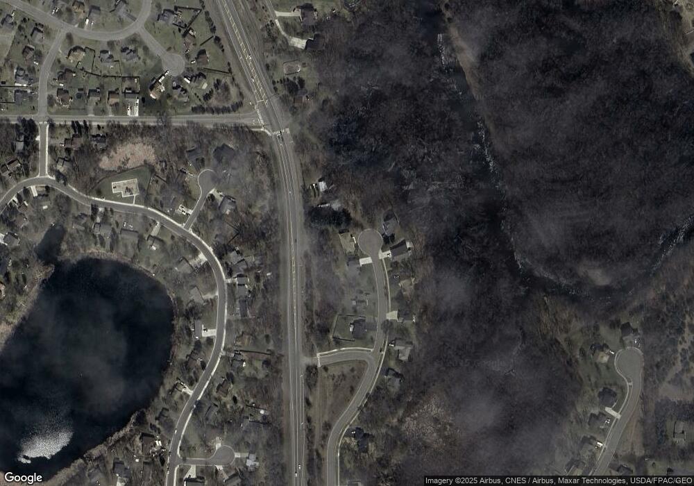
Map
Nearby Homes
- 18012 Walnut Cir
- 18050 Walnut Cir
- 18052 Walnut Cir
- 18041 Walnut Cir
- 18043 Walnut Cir
- 18059 Walnut Cir
- 18585 Arctic Ave
- 1280 Hill St
- 585 Glenwood Ave
- 591 Glenwood Ave
- 5017 Edinburgh Way
- 5385 Edinburgh Way
- 20386 181st Cir NW
- 4327 Sterling Dr
- 393 Phyllis St
- 1641 Kenabec St
- 21453 Lena Trail
- 1106 Kilbirnie Rd
- 21551 Hugh Ln
- 1075 Kilbirnie Rd
- 20830 Pacific Cir
- 20889 County Road 5 NW
- 20859 Pacific Cir
- 20810 Pacific Cir
- 20839 Pacific Cir
- 20889 20889 Co Rd 5 NW
- 20819 Pacific Cir
- 20790 Pacific Cir
- 1370 Powell St N
- 1360 Powell St N
- 120 Powell Cir N
- 20799 Pacific Cir
- 1350 Powell St N
- 100 Powell Cir N
- 20779 Pacific Cir
- 1340 Powell St N
- 18400 County Road 5
- 160 Powell Cir N
- 20759 Pacific Cir
- 20739 Pacific Cir