Estimated Value: $237,000 - $265,000
3
Beds
2
Baths
1,352
Sq Ft
$184/Sq Ft
Est. Value
About This Home
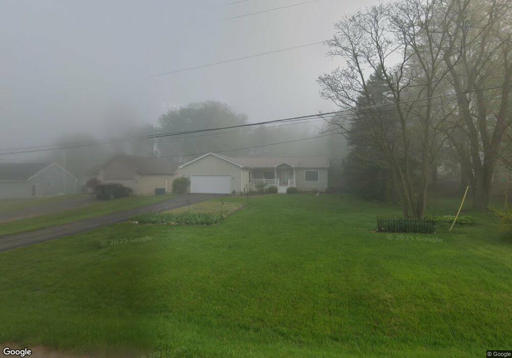
This home is located at 2086 W Reid Rd, Flint, MI 48507 and is currently estimated at $249,111, approximately $184 per square foot. 2086 W Reid Rd is a home located in Genesee County with nearby schools including Carman-Ainsworth High School, Madison Academy - Elementary School, and Discovery Montessori.
Ownership History
Date
Name
Owned For
Owner Type
Purchase Details
Closed on
Feb 17, 2016
Sold by
Little Natalie and Mcgregor Natalie
Bought by
Woodward Paul N and Woodward Cheryl J
Current Estimated Value
Home Financials for this Owner
Home Financials are based on the most recent Mortgage that was taken out on this home.
Original Mortgage
$46,000
Outstanding Balance
$2,284
Interest Rate
3.79%
Mortgage Type
New Conventional
Estimated Equity
$246,827
Purchase Details
Closed on
Oct 10, 2013
Sold by
Mcgregor David
Bought by
Mcgregor Natalie
Purchase Details
Closed on
Sep 30, 2011
Sold by
Schneider Jane E
Bought by
Mcgregor David and Mcgregor Natalie A
Purchase Details
Closed on
Jul 23, 2003
Sold by
Love William Arnold and Scribner Love Charlene E
Bought by
Schneider Jane E
Create a Home Valuation Report for This Property
The Home Valuation Report is an in-depth analysis detailing your home's value as well as a comparison with similar homes in the area
Home Values in the Area
Average Home Value in this Area
Purchase History
| Date | Buyer | Sale Price | Title Company |
|---|---|---|---|
| Woodward Paul N | $112,000 | Mason Burgess Title Agency | |
| Mcgregor Natalie | -- | None Available | |
| Mcgregor David | $80,000 | First American Title Ins Co | |
| Schneider Jane E | $29,700 | Metropolitan Title Company |
Source: Public Records
Mortgage History
| Date | Status | Borrower | Loan Amount |
|---|---|---|---|
| Open | Woodward Paul N | $46,000 |
Source: Public Records
Tax History Compared to Growth
Tax History
| Year | Tax Paid | Tax Assessment Tax Assessment Total Assessment is a certain percentage of the fair market value that is determined by local assessors to be the total taxable value of land and additions on the property. | Land | Improvement |
|---|---|---|---|---|
| 2025 | $2,836 | $102,800 | $0 | $0 |
| 2024 | $1,674 | $103,000 | $0 | $0 |
| 2023 | $1,597 | $89,800 | $0 | $0 |
| 2022 | $2,504 | $79,800 | $0 | $0 |
| 2021 | $2,464 | $75,000 | $0 | $0 |
| 2020 | $1,435 | $72,500 | $0 | $0 |
| 2019 | $1,415 | $68,000 | $0 | $0 |
| 2018 | $2,277 | $62,000 | $0 | $0 |
| 2017 | $2,241 | $62,400 | $0 | $0 |
| 2016 | $1,827 | $59,800 | $0 | $0 |
| 2015 | $1,678 | $57,700 | $0 | $0 |
| 2014 | $1,144 | $50,600 | $0 | $0 |
| 2012 | -- | $46,800 | $46,800 | $0 |
Source: Public Records
Map
Nearby Homes
- 1395 Windwood Ln
- 1389 Dellmont Dr
- 0 Taylor Dr Unit 50159493
- 1283 Woodnoll Dr
- 6042 Birch Dr
- 7471 Brewer Rd
- 7191 Brittwood Ln
- 12000 Murray St Unit 67
- 2144 W Hill Rd
- 3010 Murray St Unit 18
- 7400 Lawrence St
- 0000 Torrey Rd
- 00 Torrey Rd
- 3006 Murray St Unit 16
- 35010 Mitchell St Unit 210
- 41003 Williams St Unit 242
- 1195 Alton Ave
- 22003 Wilson St Unit 128
- 5131 Gateway Centre Blvd
- 8019 Bradbury Ln