20864 State Highway 108 Pelican Rapids, MN 56572
Estimated Value: $388,320 - $602,000
--
Bed
--
Bath
816
Sq Ft
$559/Sq Ft
Est. Value
About This Home
This home is located at 20864 State Highway 108, Pelican Rapids, MN 56572 and is currently estimated at $456,080, approximately $558 per square foot. 20864 State Highway 108 is a home located in Otter Tail County with nearby schools including Viking Elementary School and Pelican Rapids Secondary School.
Ownership History
Date
Name
Owned For
Owner Type
Purchase Details
Closed on
May 27, 2022
Sold by
Nezirevic Almin
Bought by
Perez Antonio
Current Estimated Value
Home Financials for this Owner
Home Financials are based on the most recent Mortgage that was taken out on this home.
Original Mortgage
$304,385
Outstanding Balance
$288,932
Interest Rate
5%
Mortgage Type
New Conventional
Estimated Equity
$167,148
Create a Home Valuation Report for This Property
The Home Valuation Report is an in-depth analysis detailing your home's value as well as a comparison with similar homes in the area
Home Values in the Area
Average Home Value in this Area
Purchase History
| Date | Buyer | Sale Price | Title Company |
|---|---|---|---|
| Perez Antonio | $310,000 | -- |
Source: Public Records
Mortgage History
| Date | Status | Borrower | Loan Amount |
|---|---|---|---|
| Open | Perez Antonio | $304,385 |
Source: Public Records
Tax History Compared to Growth
Tax History
| Year | Tax Paid | Tax Assessment Tax Assessment Total Assessment is a certain percentage of the fair market value that is determined by local assessors to be the total taxable value of land and additions on the property. | Land | Improvement |
|---|---|---|---|---|
| 2025 | $2,572 | $369,400 | $68,100 | $301,300 |
| 2024 | $2,280 | $354,600 | $61,500 | $293,100 |
| 2023 | $2,078 | $265,000 | $51,000 | $214,000 |
| 2022 | $1,990 | $207,800 | $0 | $0 |
| 2021 | $1,660 | $265,000 | $51,000 | $214,000 |
| 2020 | $1,648 | $183,500 | $35,700 | $147,800 |
| 2019 | $1,338 | $152,400 | $35,400 | $117,000 |
| 2018 | $1,220 | $152,400 | $35,400 | $117,000 |
| 2017 | $1,214 | $139,300 | $35,400 | $103,900 |
| 2016 | $1,188 | $135,600 | $35,900 | $99,700 |
| 2015 | $1,166 | $0 | $0 | $0 |
| 2014 | -- | $135,100 | $34,900 | $100,200 |
Source: Public Records
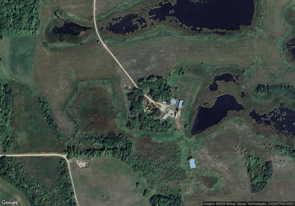
Map
Nearby Homes
- 42174 Bur Oak Hills Loop
- 121 8th St SE
- 0 Maplewood Dr SE
- 322 3rd Ave SE
- 306 3rd Ave SE
- 301 4th Ave SE
- 300 10th Ave SE Unit 104
- 212 4th Ave SE
- 404 Ridge Crest Dr
- 208 4th Ave SE
- 213 2nd Ave SE
- 204 4th Ave SE
- 209 4th Ave NE
- 205 4th Ave NE
- 202 4th Ave NE
- 203 4th Ave NE
- 201 4th Ave NE
- 317 S Broadway
- 10 S Broadway
- LOT 2 Old Fergus Rd SW
- 41562 Bur Oak Hills Rd
- 41503 Bur Oak Hills Rd
- 41625 Bur Oak Hills Rd
- 41655 Bur Oak Hills Rd
- 20871 State Highway 108
- 20931 State Highway 108
- 20662 State Highway 108
- 41311 215th Ave
- 20602 State Highway 108
- 42109 210th Ave
- 21087 410th St
- 21311 410th St
- 41900 Bur Oak Hills Rd
- 42110 210th Ave
- 20679 State Highway 108
- 41860 Bur Oak Hills Loop
- 41888 Bur Oak Hills Loop
- 42236 Bur Oak Hills Loop
- 41854 215th Ave
- 41677 Bur Oak Hills Rd