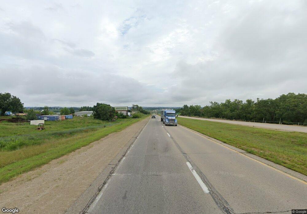
20868 Highway 52 N Durango, IA 52039
Estimated Value: $262,980 - $308,000
3
Beds
3
Baths
1,288
Sq Ft
$223/Sq Ft
Est. Value
About This Home
This home is located at 20868 Highway 52 N, Durango, IA 52039 and is currently estimated at $286,995, approximately $222 per square foot. 20868 Highway 52 N is a home located in Dubuque County with nearby schools including Epworth Elementary School, Drexler Middle - Intermediate School, and Western Dubuque High School.
Ownership History
Date
Name
Owned For
Owner Type
Purchase Details
Closed on
Dec 20, 2023
Sold by
Decker Jacob D
Bought by
Carter David John and Carter Heather Marie
Current Estimated Value
Home Financials for this Owner
Home Financials are based on the most recent Mortgage that was taken out on this home.
Original Mortgage
$245,000
Outstanding Balance
$240,933
Interest Rate
7.5%
Mortgage Type
VA
Estimated Equity
$46,062
Purchase Details
Closed on
Sep 21, 2015
Sold by
Schmitt Gerald B and Schmitt Joyce P
Bought by
Decker Jacob D
Home Financials for this Owner
Home Financials are based on the most recent Mortgage that was taken out on this home.
Original Mortgage
$107,200
Interest Rate
3.93%
Mortgage Type
New Conventional
Create a Home Valuation Report for This Property
The Home Valuation Report is an in-depth analysis detailing your home's value as well as a comparison with similar homes in the area
Home Values in the Area
Average Home Value in this Area
Purchase History
| Date | Buyer | Sale Price | Title Company |
|---|---|---|---|
| Carter David John | $245,000 | None Listed On Document | |
| Decker Jacob D | $134,000 | None Available |
Source: Public Records
Mortgage History
| Date | Status | Borrower | Loan Amount |
|---|---|---|---|
| Open | Carter David John | $245,000 | |
| Previous Owner | Decker Jacob D | $107,200 |
Source: Public Records
Tax History Compared to Growth
Tax History
| Year | Tax Paid | Tax Assessment Tax Assessment Total Assessment is a certain percentage of the fair market value that is determined by local assessors to be the total taxable value of land and additions on the property. | Land | Improvement |
|---|---|---|---|---|
| 2025 | -- | $231,100 | $20,200 | $210,900 |
| 2024 | $1,942 | $206,600 | $20,200 | $186,400 |
| 2023 | $1,942 | $206,600 | $20,200 | $186,400 |
| 2022 | $19 | $145,970 | $20,200 | $125,770 |
| 2021 | $1,868 | $145,970 | $20,200 | $125,770 |
| 2020 | $1,862 | $143,030 | $20,200 | $122,830 |
| 2019 | $1,660 | $143,030 | $20,200 | $122,830 |
| 2018 | $1,630 | $141,100 | $16,650 | $124,450 |
| 2017 | $1,604 | $141,100 | $16,650 | $124,450 |
| 2016 | $1,604 | $133,150 | $15,710 | $117,440 |
| 2015 | $1,488 | $133,150 | $15,710 | $117,440 |
| 2014 | $1,496 | $128,080 | $15,710 | $112,370 |
Source: Public Records
Map
Nearby Homes
- Lots 3 & 4 5 Points Rd
- Lot 1 Twin Cedar Dr
- Lot 2 Twin Cedar Dr
- Lot 3 Twin Cedar Dr
- 16800 Carmen Oaks Dr
- Lot 2-1 Creek Valley Acres
- 17234 Balltown Rd
- 860 Sunshine St
- Lot 1 of 3 Regency Dr
- 16978 Asbury Rd
- 2189 Tuscany Ridge Dr
- Lot 33 Tuscany Ridge Dr
- Lot 2 Tuscany Ridge Dr
- Lot 2-2 Hidden Meadows Dr
- 15441 Stacie Ct
- Lot 22 Keegan Ct
- LOT 26 Gretchen Ct
- LOT 25 Gretchen Ct
- Lot 18 Keegan Ct
- Lot 5 Cap Cana Dr
- 20868 N 52 Hwy
- 20868 Route 3 Route
- 20846 Highway 52 N
- 20886 Highway 52 N
- 20824 Highway 52 N
- 20824 Hwy 52 N
- 20908 Highway 52 N
- 20824 Iowa 3
- 20824 Route 3
- 20835 Route 3
- 20798 Route 3 Route
- 20798 Highway 52 N
- 20785 Highway 52 N
- 20880 Route 3
- 20768 N Rt 52
- 20906 Route 3
- 20732 Highway 52 N
- 20750 Highway 52 N
- 581 Hilltop Ct
- 575 Hilltop Ct
