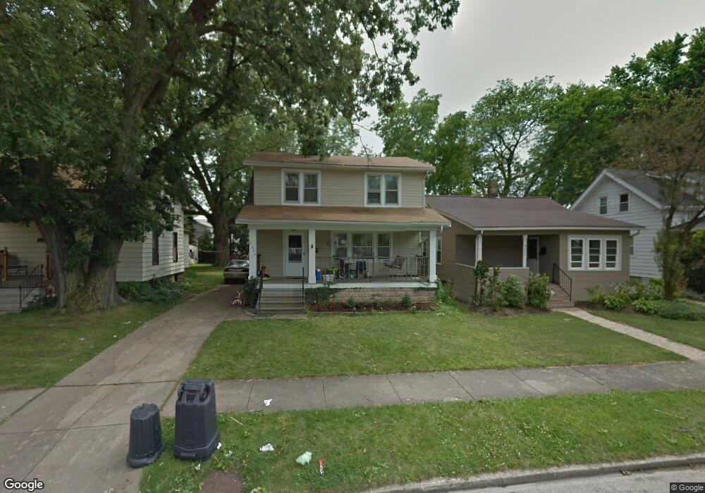
20869 Woodstock Ave Cleveland, OH 44126
Estimated Value: $227,338 - $265,000
3
Beds
1
Bath
1,350
Sq Ft
$187/Sq Ft
Est. Value
About This Home
This home is located at 20869 Woodstock Ave, Cleveland, OH 44126 and is currently estimated at $252,585, approximately $187 per square foot. 20869 Woodstock Ave is a home located in Cuyahoga County with nearby schools including Gilles-Sweet Elementary School, Lewis F Mayer Middle School, and Fairview High School.
Ownership History
Date
Name
Owned For
Owner Type
Purchase Details
Closed on
Nov 8, 2007
Sold by
The Bank Of New York Trust Co Na
Bought by
Gross Daniel M
Current Estimated Value
Home Financials for this Owner
Home Financials are based on the most recent Mortgage that was taken out on this home.
Original Mortgage
$74,900
Outstanding Balance
$47,610
Interest Rate
6.47%
Mortgage Type
Purchase Money Mortgage
Estimated Equity
$204,975
Purchase Details
Closed on
May 17, 2007
Sold by
Ray Irene Mahoney
Bought by
The Bank Of New York Trust Co Na
Purchase Details
Closed on
Aug 20, 1991
Sold by
Schembri Angelo
Bought by
Irene Ray Mahoney
Purchase Details
Closed on
May 13, 1987
Sold by
Eustice Mary R
Bought by
Schembri Angelo
Purchase Details
Closed on
Jan 1, 1975
Bought by
Eustice Mary R
Create a Home Valuation Report for This Property
The Home Valuation Report is an in-depth analysis detailing your home's value as well as a comparison with similar homes in the area
Home Values in the Area
Average Home Value in this Area
Purchase History
| Date | Buyer | Sale Price | Title Company |
|---|---|---|---|
| Gross Daniel M | $74,900 | Resource Title Agency Inc | |
| The Bank Of New York Trust Co Na | $110,500 | Resource Title Agency | |
| Irene Ray Mahoney | $88,900 | -- | |
| Schembri Angelo | $55,500 | -- | |
| Eustice Mary R | -- | -- |
Source: Public Records
Mortgage History
| Date | Status | Borrower | Loan Amount |
|---|---|---|---|
| Open | Gross Daniel M | $74,900 |
Source: Public Records
Tax History Compared to Growth
Tax History
| Year | Tax Paid | Tax Assessment Tax Assessment Total Assessment is a certain percentage of the fair market value that is determined by local assessors to be the total taxable value of land and additions on the property. | Land | Improvement |
|---|---|---|---|---|
| 2024 | $4,791 | $67,725 | $11,690 | $56,035 |
| 2023 | $4,637 | $56,180 | $10,470 | $45,710 |
| 2022 | $4,578 | $56,880 | $10,470 | $46,410 |
| 2021 | $4,674 | $56,880 | $10,470 | $46,410 |
| 2020 | $4,299 | $45,850 | $8,440 | $37,420 |
| 2019 | $3,834 | $131,000 | $24,100 | $106,900 |
| 2018 | $3,719 | $45,850 | $8,440 | $37,420 |
| 2017 | $3,769 | $41,660 | $7,530 | $34,130 |
| 2016 | $3,744 | $41,660 | $7,530 | $34,130 |
| 2015 | $3,539 | $41,660 | $7,530 | $34,130 |
| 2014 | $3,539 | $39,660 | $7,180 | $32,480 |
Source: Public Records
Map
Nearby Homes
- 20778 Woodstock Ave
- 3959 W 210th St
- 20688 Belvidere Ave
- 3826 W 210th St
- 21236 Northwood Ave
- 21143 Westwood Rd
- 3712 Addington Ct
- 21237 Westwood Rd
- 4243 W 212th St
- 20187 Grannis Rd
- 3420 W 210th St
- 3340 W 210th St
- 3733 River Ln
- 21872 Addington Blvd Unit 15
- 4291 W 215th St
- 4036 W 219th St
- 3167 Linden Rd Unit 503
- 3167 Linden Rd Unit 508
- 3167 Linden Rd Unit 103
- 3167 Linden Rd Unit 309
- 20877 Woodstock Ave
- 20861 Woodstock Ave
- 20883 Woodstock Ave
- 20851 Woodstock Ave
- 20937 Woodstock Ave
- 20843 Woodstock Ave
- 20870 Northwood Ave
- 20878 Northwood Ave
- 20862 Northwood Ave
- 20884 Northwood Ave
- 20945 Woodstock Ave
- 20856 Northwood Ave
- 20771 Woodstock Ave
- 20894 Northwood Ave
- 20886 Woodstock Ave
- 20868 Woodstock Ave
- 20898 Woodstock Ave
- 20810 Northwood Ave
- 20856 Woodstock Ave
- 20763 Woodstock Ave