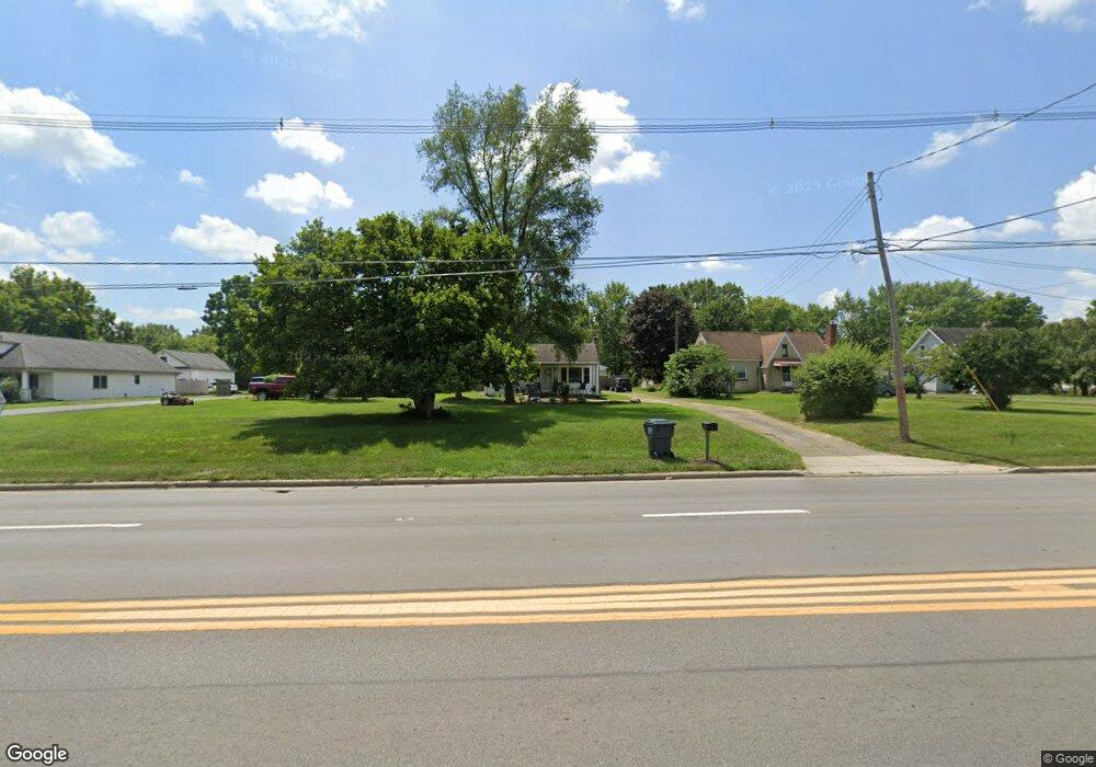
2087 Frank Rd Columbus, OH 43223
Estimated Value: $186,000 - $272,000
3
Beds
1
Bath
1,484
Sq Ft
$158/Sq Ft
Est. Value
About This Home
This home is located at 2087 Frank Rd, Columbus, OH 43223 and is currently estimated at $233,758, approximately $157 per square foot. 2087 Frank Rd is a home located in Franklin County with nearby schools including James A Harmon Elementary School, Franklin Woods Intermediate School, and Finland Middle School.
Ownership History
Date
Name
Owned For
Owner Type
Purchase Details
Closed on
Sep 25, 2013
Sold by
Kennard Bertha M
Bought by
Horn Gary W and Horn Teresa L
Current Estimated Value
Home Financials for this Owner
Home Financials are based on the most recent Mortgage that was taken out on this home.
Original Mortgage
$40,600
Outstanding Balance
$10,744
Interest Rate
4.56%
Mortgage Type
New Conventional
Estimated Equity
$223,014
Purchase Details
Closed on
Jan 29, 2002
Sold by
Kennard Ronald E and Kennard Bertha M
Bought by
Kennard Ronald E and Kennard Bertha M
Purchase Details
Closed on
Jun 25, 1963
Bought by
Kennard Ronald E
Create a Home Valuation Report for This Property
The Home Valuation Report is an in-depth analysis detailing your home's value as well as a comparison with similar homes in the area
Home Values in the Area
Average Home Value in this Area
Purchase History
| Date | Buyer | Sale Price | Title Company |
|---|---|---|---|
| Horn Gary W | $76,000 | None Available | |
| Kennard Ronald E | -- | -- | |
| Kennard Ronald E | -- | -- |
Source: Public Records
Mortgage History
| Date | Status | Borrower | Loan Amount |
|---|---|---|---|
| Open | Horn Gary W | $40,600 |
Source: Public Records
Tax History Compared to Growth
Tax History
| Year | Tax Paid | Tax Assessment Tax Assessment Total Assessment is a certain percentage of the fair market value that is determined by local assessors to be the total taxable value of land and additions on the property. | Land | Improvement |
|---|---|---|---|---|
| 2024 | $3,370 | $66,080 | $24,010 | $42,070 |
| 2023 | $3,352 | $66,080 | $24,010 | $42,070 |
| 2022 | $3,114 | $42,210 | $14,420 | $27,790 |
| 2021 | $2,959 | $42,210 | $14,420 | $27,790 |
| 2020 | $2,953 | $42,210 | $14,420 | $27,790 |
| 2019 | $2,745 | $35,180 | $12,010 | $23,170 |
| 2018 | $1,419 | $35,180 | $12,010 | $23,170 |
| 2017 | $2,719 | $35,180 | $12,010 | $23,170 |
| 2016 | $2,262 | $27,440 | $7,000 | $20,440 |
| 2015 | $1,102 | $27,440 | $7,000 | $20,440 |
| 2014 | $2,101 | $27,440 | $7,000 | $20,440 |
| 2013 | $759 | $28,910 | $7,385 | $21,525 |
Source: Public Records
Map
Nearby Homes
- 1949 Big Run Bluffs Blvd
- 1948 Big Run Bluffs Blvd
- 0 S Central Ave
- 1543 Red Leaf Ln
- 4745 Big Run Rd E
- 2210 October Ridge Dr
- 2436 Onyx Ct
- 1417 Fahy Dr
- 2195 Big Run Ave
- 2103 Keller Place W
- 0 Glencreek Rd
- 2255 Harrisburg Pike
- 2154 Drumlin Dr
- 2894 Creith Ct
- 2242 Topaz Dr
- 1390 Gray Meadow Dr
- 2272 Anndel Ct
- 2336 Woodbrook Cir N Unit 92 B
- 2362 Woodbrook Cir N Unit 81
- 2272 Topaz Dr