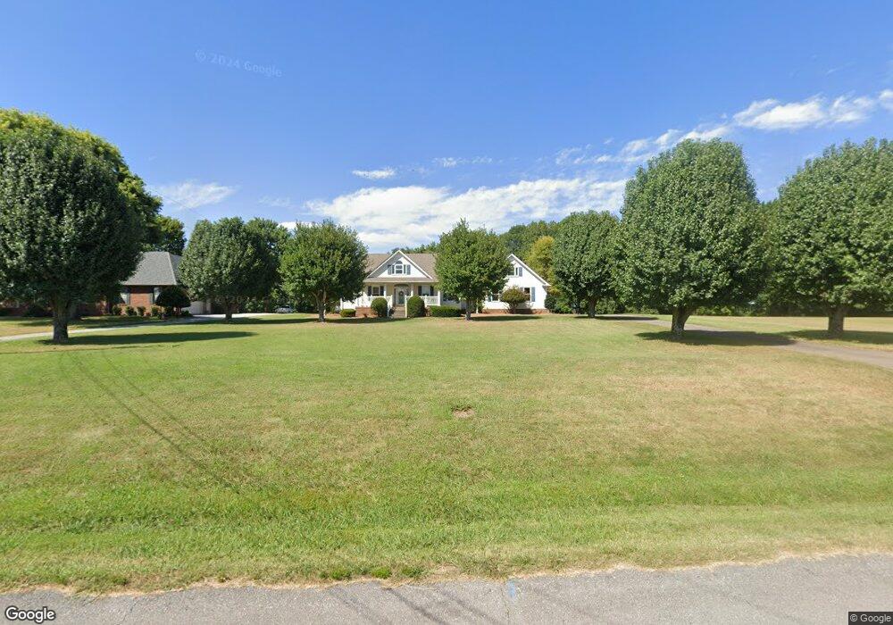
2087 Lawrence Ln Springfield, TN 37172
Estimated Value: $457,000 - $594,000
Studio
2
Baths
2,125
Sq Ft
$239/Sq Ft
Est. Value
About This Home
This home is located at 2087 Lawrence Ln, Springfield, TN 37172 and is currently estimated at $507,551, approximately $238 per square foot. 2087 Lawrence Ln is a home located in Robertson County with nearby schools including Westside Elementary School, Cheatham Park Elementary School, and Coopertown Middle School.
Ownership History
Date
Name
Owned For
Owner Type
Purchase Details
Closed on
Mar 5, 2007
Sold by
Elam-Threatt Betty
Bought by
Gibbs Eric Bronson and Gibbs Betty
Current Estimated Value
Purchase Details
Closed on
May 30, 1996
Sold by
Threatt Kenneth E
Bought by
Poole Michael W and Poole Elizabet
Purchase Details
Closed on
Sep 15, 1994
Bought by
Threatt Kenneth E and Threatt Betty E
Create a Home Valuation Report for This Property
The Home Valuation Report is an in-depth analysis detailing your home's value as well as a comparison with similar homes in the area
Home Values in the Area
Average Home Value in this Area
Purchase History
| Date | Buyer | Sale Price | Title Company |
|---|---|---|---|
| Gibbs Eric Bronson | -- | -- | |
| Poole Michael W | $88,000 | -- | |
| Threatt Kenneth E | $12,500 | -- |
Source: Public Records
Tax History
| Year | Tax Paid | Tax Assessment Tax Assessment Total Assessment is a certain percentage of the fair market value that is determined by local assessors to be the total taxable value of land and additions on the property. | Land | Improvement |
|---|---|---|---|---|
| 2025 | $2,119 | $117,700 | $29,500 | $88,200 |
| 2024 | $2,119 | $117,700 | $29,500 | $88,200 |
| 2023 | $2,119 | $117,700 | $29,500 | $88,200 |
| 2022 | $1,868 | $72,525 | $9,275 | $63,250 |
| 2021 | $1,868 | $72,525 | $9,275 | $63,250 |
| 2020 | $1,868 | $72,525 | $9,275 | $63,250 |
| 2019 | $1,868 | $72,525 | $9,275 | $63,250 |
| 2018 | $1,868 | $72,525 | $9,275 | $63,250 |
| 2017 | $1,655 | $53,650 | $8,250 | $45,400 |
| 2016 | $1,655 | $53,650 | $8,250 | $45,400 |
| 2015 | $1,588 | $53,650 | $8,250 | $45,400 |
| 2014 | $1,588 | $53,650 | $8,250 | $45,400 |
Source: Public Records
Map
Nearby Homes
- 1421 Lawrence Ln
- 7373 New Chapel Rd
- 4319 Nicks Dr
- 5148 Highway 49 W
- 0 Forest Park Rd Unit RTC3002406
- 0 Forest Park Rd Unit RTC3002403
- 0 Forest Park Rd Unit RTC3002408
- 2060 Beverly Ct
- 244 Green Hills Dr
- 1137 Goose Dr
- 2086 Beverly Ct
- 8049 New Chapel Rd
- 4357 Airport Rd
- 1191 Hangar Rd
- 1224 Hangar Rd
- 610 5th Ave W
- 409 7th Ave W
- 588 19th Ave W
- 504 5th Ave W
- 702 Richard St
- 2111 Lawrence Ln
- 2131 Lawrence Ln
- 320 Lawrence Ln
- 2163 Lawrence Ln
- 2229 Lawrence Ln
- 2038 Lawrence Ln
- 2038 Lawrence Ln
- 1926 Lawrence Ln
- 0 Lawrence Ln
- 2287 Lawrence Ln
- 309 Lawrence Ln
- 1882 Lawrence Ln
- 319 Lawrence Ln
- 2241 Lawrence Ln
- 2004 Lawrence Ln
- 331 Lawrence Ln
- 1879 Lawrence Ln
- 302 Lawrence Ln
- 2386 Lawrence Ln
- 1814 Lawrence Ln
Your Personal Tour Guide
Ask me questions while you tour the home.