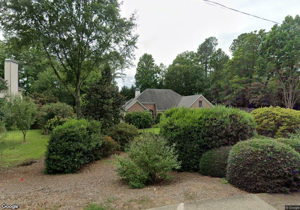
2087 Murdock Rd Marietta, GA 30062
East Cobb NeighborhoodEstimated Value: $597,305 - $638,000
3
Beds
3
Baths
2,650
Sq Ft
$235/Sq Ft
Est. Value
About This Home
This home is located at 2087 Murdock Rd, Marietta, GA 30062 and is currently estimated at $622,576, approximately $234 per square foot. 2087 Murdock Rd is a home located in Cobb County with nearby schools including Murdock Elementary School, Dodgen Middle School, and Pope High School.
Ownership History
Date
Name
Owned For
Owner Type
Purchase Details
Closed on
Jul 28, 1999
Sold by
Jacob Enterprises Inc
Bought by
Kirchman Michael L and Kirchman Darlyn
Current Estimated Value
Home Financials for this Owner
Home Financials are based on the most recent Mortgage that was taken out on this home.
Original Mortgage
$130,000
Outstanding Balance
$36,702
Interest Rate
7.66%
Mortgage Type
New Conventional
Estimated Equity
$585,874
Create a Home Valuation Report for This Property
The Home Valuation Report is an in-depth analysis detailing your home's value as well as a comparison with similar homes in the area
Home Values in the Area
Average Home Value in this Area
Purchase History
| Date | Buyer | Sale Price | Title Company |
|---|---|---|---|
| Kirchman Michael L | $240,300 | -- |
Source: Public Records
Mortgage History
| Date | Status | Borrower | Loan Amount |
|---|---|---|---|
| Open | Kirchman Michael L | $130,000 |
Source: Public Records
Tax History Compared to Growth
Tax History
| Year | Tax Paid | Tax Assessment Tax Assessment Total Assessment is a certain percentage of the fair market value that is determined by local assessors to be the total taxable value of land and additions on the property. | Land | Improvement |
|---|---|---|---|---|
| 2025 | $1,300 | $221,604 | $48,000 | $173,604 |
| 2024 | $1,305 | $221,604 | $48,000 | $173,604 |
| 2023 | $988 | $184,520 | $38,400 | $146,120 |
| 2022 | $1,133 | $164,304 | $36,000 | $128,304 |
| 2021 | $1,077 | $145,592 | $36,000 | $109,592 |
| 2020 | $1,077 | $145,592 | $36,000 | $109,592 |
| 2019 | $1,042 | $133,840 | $30,000 | $103,840 |
| 2018 | $1,042 | $133,840 | $30,000 | $103,840 |
| 2017 | $868 | $114,832 | $30,000 | $84,832 |
| 2016 | $872 | $114,832 | $30,000 | $84,832 |
| 2015 | $935 | $114,832 | $30,000 | $84,832 |
| 2014 | $910 | $101,632 | $0 | $0 |
Source: Public Records
Map
Nearby Homes
- 3025 Bunker Hill Cir
- 2197 Cedar Forks Dr Unit 1
- 2186 Cedar Forks Dr
- 3292 Holly Mill Ct
- 1771 Canton Hills Cir
- 2138 Cedar Forks Dr Unit 2
- 2726 Whitehurst Dr NE
- 3152 Normandy Cir NE
- 2792 Craig Ct
- 1900 Holly Springs Rd NE
- 3402 Devoe Ct
- 2041 Kramer Way
- 3218 Holly Mill Run
- 3246 Able Ct
- 2988 Nestle Creek Dr
- 1677 Daffodil Dr
- 1519 Brookcliff Cir
- 2994 Bea Mar Dr
- 2074 Melissa Ct
- 2983 Bellehurst Dr Unit 1
- 2983 Bellehurst Dr NE Unit 1
- 2983 Bellehurst Dr NE
- 2084 Melissa Ct
- 2010 Murdock Rd
- 1980 Murdock Rd
- 2064 Melissa Ct
- 2040 Murdock Rd
- 2094 Melissa Ct
- 2977 Bellehurst Dr NE Unit 2
- 2977 Bellehurst Dr NE
- 2977 Bellehurst Dr NE
- 3001 Bunker Hill Rd
- 2998 Bellehurst Dr NE Unit 15
- 2998 Bellehurst Dr NE
- 2992 Bellehurst Dr NE
- 2070 Murdock Rd