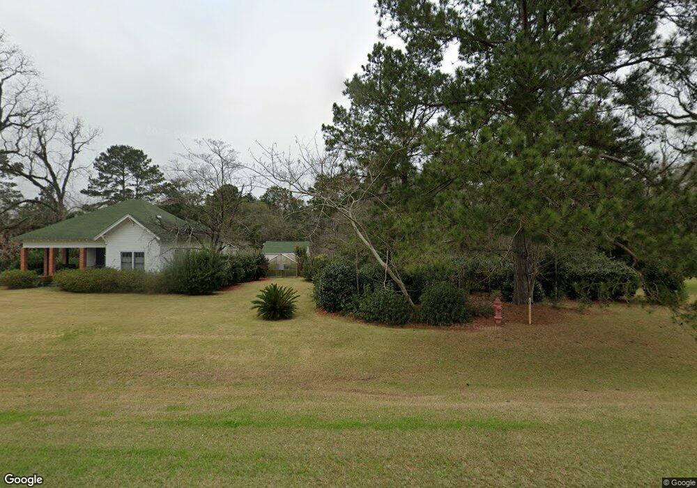
20871 Us Highway 84 E Boston, GA 31626
Estimated Value: $151,000 - $237,966
1
Bed
2
Baths
680
Sq Ft
$302/Sq Ft
Est. Value
About This Home
This home is located at 20871 Us Highway 84 E, Boston, GA 31626 and is currently estimated at $205,655, approximately $302 per square foot. 20871 Us Highway 84 E is a home with nearby schools including Hand in Hand Primary School, Garrison-Pilcher Elementary School, and Cross Creek Elementary School.
Ownership History
Date
Name
Owned For
Owner Type
Purchase Details
Closed on
Mar 14, 2006
Sold by
Murphy James E
Bought by
Cocroft Gwendolyn O
Current Estimated Value
Home Financials for this Owner
Home Financials are based on the most recent Mortgage that was taken out on this home.
Original Mortgage
$16,000
Interest Rate
6.25%
Mortgage Type
New Conventional
Purchase Details
Closed on
Jan 14, 1993
Bought by
Murphy James E
Create a Home Valuation Report for This Property
The Home Valuation Report is an in-depth analysis detailing your home's value as well as a comparison with similar homes in the area
Home Values in the Area
Average Home Value in this Area
Purchase History
| Date | Buyer | Sale Price | Title Company |
|---|---|---|---|
| Cocroft Gwendolyn O | $16,000 | -- | |
| Murphy James E | $12,800 | -- |
Source: Public Records
Mortgage History
| Date | Status | Borrower | Loan Amount |
|---|---|---|---|
| Closed | Cocroft Gwendolyn O | $16,000 |
Source: Public Records
Tax History Compared to Growth
Tax History
| Year | Tax Paid | Tax Assessment Tax Assessment Total Assessment is a certain percentage of the fair market value that is determined by local assessors to be the total taxable value of land and additions on the property. | Land | Improvement |
|---|---|---|---|---|
| 2024 | $1,903 | $63,707 | $21,139 | $42,568 |
| 2023 | $1,631 | $55,768 | $16,912 | $38,856 |
| 2022 | $1,052 | $50,349 | $16,912 | $33,437 |
| 2021 | $940 | $42,144 | $14,706 | $27,438 |
| 2020 | $911 | $40,299 | $14,706 | $25,593 |
| 2019 | $917 | $40,299 | $14,706 | $25,593 |
| 2018 | $904 | $39,536 | $14,706 | $24,830 |
| 2017 | $908 | $39,187 | $14,706 | $24,481 |
| 2016 | $482 | $17,297 | $14,706 | $2,591 |
| 2015 | -- | $14,706 | $14,706 | $0 |
| 2014 | -- | $14,706 | $14,706 | $0 |
| 2013 | -- | $14,705 | $14,705 | $0 |
Source: Public Records
Map
Nearby Homes
- 682 Salem Rd
- 130 E Adams St
- 185 Community Ln
- 146 Old Highway 84 W
- 9900 Ozell Rd
- 431 Dry Lake Rd
- 4311 Ozell Rd
- 2815 Parker Rd
- 2818 Dry Lake Rd
- 00 Summer Hill Rd Unit 1
- 7402 Coffee Rd
- 2156 County Road 78
- 842 Crabapple Dr
- 54 Ganyard Hill Ln
- 0 Spencer Rd
- 1038-BA Church St
- 454 Fox Meadow Ln
- 00 Cone Road & Beulah Church Rd
- 233 Fox Meadow Ln
- 138
- 20839 Us Highway 84 E
- 630 Roundtree St
- 714 Roundtree St
- 0 U S 84
- 553 N Leaphart St
- 552 N Leaphart St
- 722 N Green St
- 540 Roundtree St E
- 20838 U S 84
- 548 N Leaphart St
- 398 E Ruby St
- 5 Acres Georgia 33
- 00 Georgia 33
- 0000 Salem Rd (21 Acres)
- 531 N Leaphart St
- 536 N Leaphart St
- 00 Roundtree St
- 528 N Leaphart St
- 529 N Leaphart St
- 546 N Green St